Patay (Patay)

- commune in Loiret, France
- Country:

- Postal Code: 45310
- Coordinates: 48° 2' 53" N, 1° 41' 44" E


- GPS tracks (wikiloc): [Link]
- Area: 13.8 sq km
- Population: 2133
- Web site: http://www.patay.fr
- Wikipedia en: wiki(en)
- Wikipedia: wiki(fr)
- Wikidata storage: Wikidata: Q670283
- Wikipedia Commons Category: [Link]
- Freebase ID: [/m/03j35v]
- GeoNames ID: Alt: [6434686]
- SIREN number: [214502486]
- BnF ID: [15260640b]
- VIAF ID: Alt: [233835429]
- INSEE municipality code: 45248
Shares border with regions:

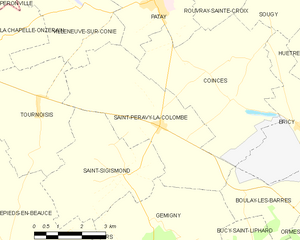
Saint-Péravy-la-Colombe
- commune in Loiret, France
- Country:
- Postal Code: 45310
- Coordinates: 48° 0' 1" N, 1° 41' 59" E
- GPS tracks (wikiloc): [Link]
- Area: 18.96 sq km
- Population: 742
- Web site: [Link]
Villeneuve-sur-Conie
- commune in Loiret, France
- Country:
- Postal Code: 45310
- Coordinates: 48° 2' 41" N, 1° 39' 3" E
- GPS tracks (wikiloc): [Link]
- Area: 17.97 sq km
- Population: 211

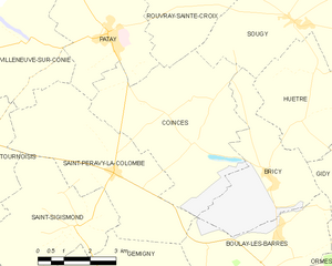
Coinces
- commune in Loiret, France
- Country:
- Postal Code: 45310
- Coordinates: 48° 0' 37" N, 1° 44' 25" E
- GPS tracks (wikiloc): [Link]
- Area: 21.63 sq km
- Population: 582
- Web site: [Link]
Terminiers
- commune in Eure-et-Loir, France
- Country:
- Postal Code: 28140
- Coordinates: 48° 4' 57" N, 1° 44' 23" E
- GPS tracks (wikiloc): [Link]
- Area: 31.72 sq km
- Population: 926

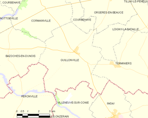
Guillonville
- commune in Eure-et-Loir, France
- Country:
- Postal Code: 28140
- Coordinates: 48° 5' 27" N, 1° 39' 44" E
- GPS tracks (wikiloc): [Link]
- AboveSeaLevel: 136 м m
- Area: 27.15 sq km
- Population: 442
- Web site: [Link]
Rouvray-Sainte-Croix
- commune in Loiret, France
- Country:
- Postal Code: 45310
- Coordinates: 48° 3' 33" N, 1° 43' 56" E
- GPS tracks (wikiloc): [Link]
- Area: 9.47 sq km
- Population: 145