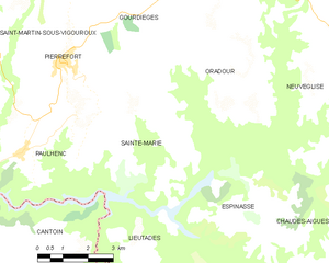
Paulhenc (Paulhenc)

- commune in Cantal, France
- Country:

- Postal Code: 15230
- Coordinates: 44° 53' 23" N, 2° 49' 2" E


- GPS tracks (wikiloc): [Link]
- Area: 23.69 sq km
- Population: 246
- Wikipedia en: wiki(en)
- Wikipedia: wiki(fr)
- Wikidata storage: Wikidata: Q807115
- Wikipedia Commons Category: [Link]
- Freebase ID: [/m/03mb9g9]
- GeoNames ID: Alt: [6427605]
- SIREN number: [211501499]
- BnF ID: [152483196]
- INSEE municipality code: 15149
Shares border with regions:


Cantoin
- commune in Aveyron, France
- Country:
- Postal Code: 12420
- Coordinates: 44° 50' 10" N, 2° 48' 45" E
- GPS tracks (wikiloc): [Link]
- Area: 42.37 sq km
- Population: 309

Sainte-Marie
- commune in Cantal, France
- Country:
- Postal Code: 15230
- Coordinates: 44° 52' 39" N, 2° 53' 8" E
- GPS tracks (wikiloc): [Link]
- Area: 17.87 sq km
- Population: 111
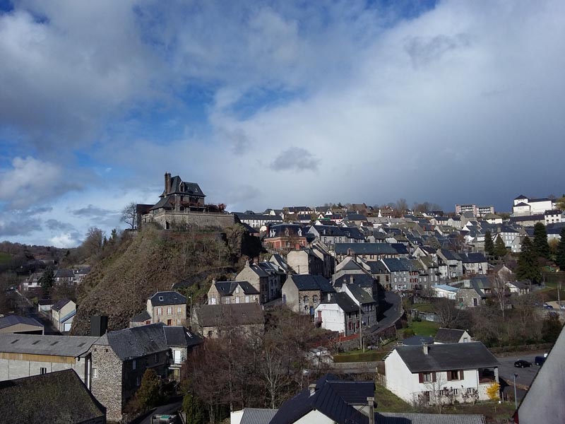
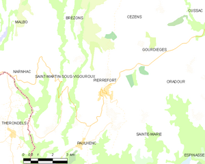
Pierrefort
- commune in Cantal, France
- Country:
- Postal Code: 15230
- Coordinates: 44° 55' 18" N, 2° 50' 17" E
- GPS tracks (wikiloc): [Link]
- Area: 24.59 sq km
- Population: 909
- Web site: [Link]

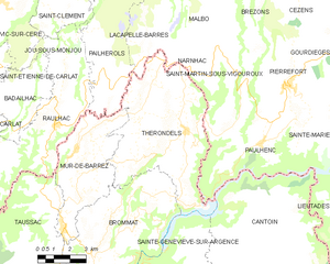
Thérondels
- commune in Aveyron, France
- Country:
- Postal Code: 12600
- Coordinates: 44° 53' 45" N, 2° 45' 31" E
- GPS tracks (wikiloc): [Link]
- Area: 38.47 sq km
- Population: 411
- Web site: [Link]


Saint-Martin-sous-Vigouroux
- commune in Cantal, France
- Country:
- Postal Code: 15230
- Coordinates: 44° 55' 23" N, 2° 48' 10" E
- GPS tracks (wikiloc): [Link]
- Area: 19.29 sq km
- Population: 245