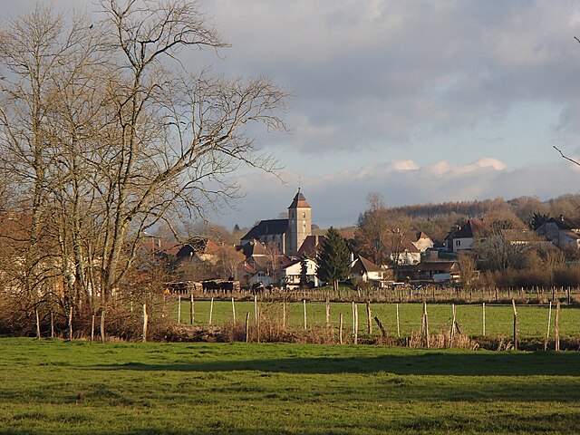
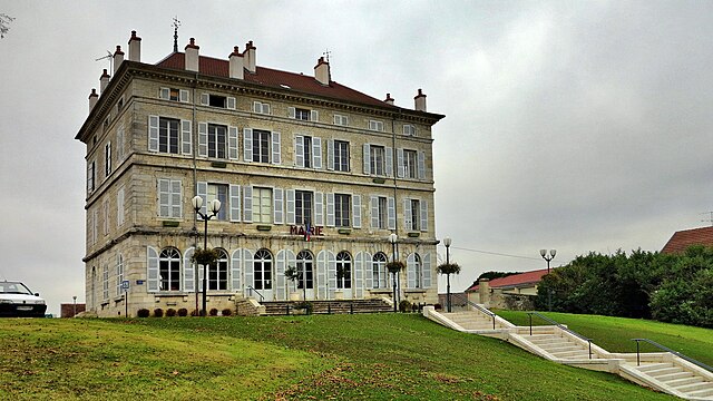
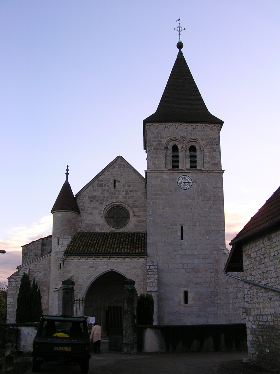
Plumont (Plumont)
- commune in Jura, France
It seems there might be a bit of confusion regarding "Plumont," as it could refer to a few different places or perhaps a typo. If you meant "Plumont," it might be a local name for a region, village, or even a trail that isn't widely recognized.
However, if you’re referring to a specific location known for hiking, such as a notable park, mountain, or trail by a similar name, I'd be glad to help! Generally, when hiking in any region:
-
Research the trails: Look for trail maps, difficulty levels, and lengths. Websites like AllTrails can be very helpful.
-
Weather conditions: Always check the weather forecast before you head out. Conditions can change rapidly, especially in mountainous regions.
-
Prepare adequately: Make sure to pack enough water, snacks, a first-aid kit, appropriate clothing, and navigation tools.
-
Leave no trace: Always follow the principles of Leave No Trace to protect the environment and keep nature beautiful for future hikers.
If you have a specific area or place in mind, please provide more context, and I can give you more targeted advice regarding hiking there!
- Country:

- Postal Code: 39700
- Coordinates: 47° 7' 28" N, 5° 42' 44" E


- GPS tracks (wikiloc): [Link]
- Area: 12.1 sq km
- Population: 98
- Wikipedia en: wiki(en)
- Wikipedia: wiki(fr)
- Wikidata storage: Wikidata: Q1227068
- Wikipedia Commons Category: [Link]
- Freebase ID: [/m/03nt7zt]
- GeoNames ID: Alt: [6433700]
- SIREN number: [213904303]
- BnF ID: [15258792k]
- INSEE municipality code: 39430
Shares border with regions:


Étrepigney
- commune in Jura, France
Étrepigney is a small commune in the Haute-Saône department of the Bourgogne-Franche-Comté region in eastern France. It may not be widely recognized as a major hiking destination, but the surrounding areas offer opportunities for nature lovers and hiking enthusiasts....
- Country:

- Postal Code: 39700
- Coordinates: 47° 7' 46" N, 5° 41' 30" E


- GPS tracks (wikiloc): [Link]
- Area: 15.6 sq km
- Population: 423


Rans
- commune in Jura, France
Rans, located in the Jura region of France, offers a beautiful backdrop for hiking enthusiasts. The Jura mountains are known for their stunning landscapes, rolling hills, dense forests, and charming villages. Here’s what you need to know about hiking in Rans:...
- Country:

- Postal Code: 39700
- Coordinates: 47° 8' 26" N, 5° 43' 36" E


- GPS tracks (wikiloc): [Link]
- Area: 6.14 sq km
- Population: 525
- Web site: [Link]


Fraisans
- commune in Jura, France
Fraisans is a picturesque village located in the Jura region of France, known for its stunning natural landscapes and diverse hiking opportunities. Here are some key points to know about hiking in Fraisans:...
- Country:

- Postal Code: 39700
- Coordinates: 47° 8' 57" N, 5° 45' 37" E


- GPS tracks (wikiloc): [Link]
- Area: 16.9 sq km
- Population: 1237
- Web site: [Link]


Chissey-sur-Loue
- commune in Jura, France
Chissey-sur-Loue is a charming village located in the Jura region of France, known for its stunning natural landscapes and outdoor activities, including hiking. The area around Chissey-sur-Loue offers a variety of trails that suit different experience levels, from leisurely walks to more challenging hikes....
- Country:

- Postal Code: 39380
- Coordinates: 47° 1' 16" N, 5° 43' 15" E


- GPS tracks (wikiloc): [Link]
- Area: 38.56 sq km
- Population: 326

