Pont-sur-Seine (Pont-sur-Seine)
- commune in Aube, France
- Country:

- Postal Code: 10400
- Coordinates: 48° 31' 8" N, 3° 35' 41" E


- GPS tracks (wikiloc): [Link]
- Area: 16.15 sq km
- Population: 1147
- Web site: https://www.commune-pontsurseine.com/
- Wikipedia en: wiki(en)
- Wikipedia: wiki(fr)
- Wikidata storage: Wikidata: Q818042
- Wikipedia Commons Category: [Link]
- Freebase ID: [/m/03m8v3c]
- GeoNames ID: Alt: [2986094]
- SIREN number: [211002894]
- BnF ID: [152463903]
- VIAF ID: Alt: [146985231]
- Library of Congress authority ID: Alt: [no2009181875]
- PACTOLS thesaurus ID: [pcrtHrAlRYTpIp]
- INSEE municipality code: 10298
Shares border with regions:


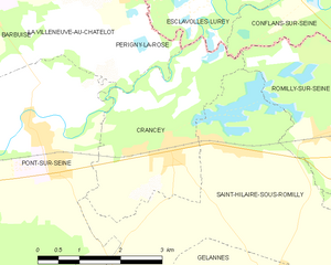
Crancey
- commune in Aube, France
- Country:

- Postal Code: 10100
- Coordinates: 48° 31' 0" N, 3° 38' 19" E


- GPS tracks (wikiloc): [Link]
- Area: 8.81 sq km
- Population: 739


Saint-Hilaire-sous-Romilly
- commune in Aube, France
- Country:

- Postal Code: 10100
- Coordinates: 48° 30' 59" N, 3° 39' 16" E


- GPS tracks (wikiloc): [Link]
- Area: 20.2 sq km
- Population: 334


Marnay-sur-Seine
- commune in Aube, France
- Country:

- Postal Code: 10400
- Coordinates: 48° 30' 45" N, 3° 33' 31" E


- GPS tracks (wikiloc): [Link]
- Area: 10.1 sq km
- Population: 218

Ferreux-Quincey
- commune in Aube, France
- Country:

- Postal Code: 10400
- Coordinates: 48° 27' 2" N, 3° 36' 45" E


- GPS tracks (wikiloc): [Link]
- Area: 15.32 sq km
- Population: 365


Périgny-la-Rose
- commune in Aube, France
- Country:

- Postal Code: 10400
- Coordinates: 48° 32' 59" N, 3° 37' 32" E


- GPS tracks (wikiloc): [Link]
- Area: 6.86 sq km
- Population: 133


La Villeneuve-au-Châtelot
- commune in Aube, France
- Country:

- Postal Code: 10400
- Coordinates: 48° 33' 1" N, 3° 36' 43" E


- GPS tracks (wikiloc): [Link]
- AboveSeaLevel: 71 м m
- Area: 6.17 sq km
- Population: 143


Saint-Aubin
- commune in Aube, France
- Country:

- Postal Code: 10400
- Coordinates: 48° 28' 34" N, 3° 33' 31" E


- GPS tracks (wikiloc): [Link]
- Area: 17.76 sq km
- Population: 593


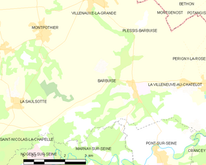
Barbuise
- commune in Aube, France
- Country:

- Postal Code: 10400
- Coordinates: 48° 33' 30" N, 3° 34' 37" E


- GPS tracks (wikiloc): [Link]
- Area: 18.09 sq km
- Population: 433
