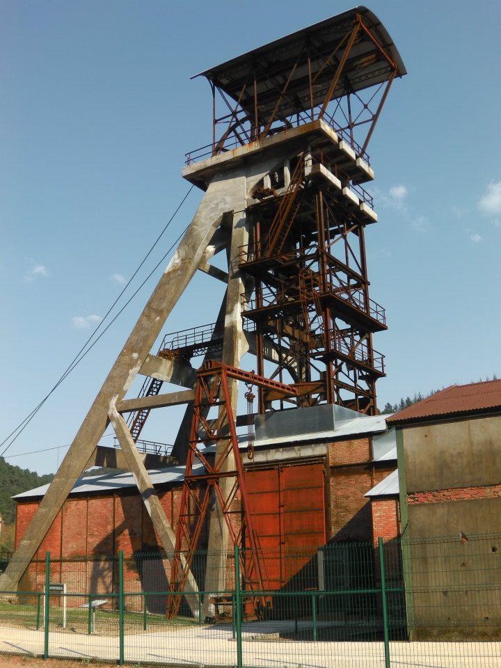
Portes (Portes)

- commune in Gard, France
- Country:

- Postal Code: 30530
- Coordinates: 44° 16' 14" N, 4° 1' 14" E


- GPS tracks (wikiloc): [Link]
- Area: 14.42 sq km
- Population: 359
- Wikipedia en: wiki(en)
- Wikipedia: wiki(fr)
- Wikidata storage: Wikidata: Q267561
- Wikipedia Commons Category: [Link]
- Freebase ID: [/m/03c7yg3]
- GeoNames ID: Alt: [6431359]
- SIREN number: [213002033]
- BnF ID: [15254843p]
- PACTOLS thesaurus ID: [pcrtkib5jSmEF2]
- INSEE municipality code: 30203
Shares border with regions:


Sainte-Cécile-d'Andorge
- commune in Gard, France
- Country:
- Postal Code: 30110
- Coordinates: 44° 15' 7" N, 3° 58' 34" E
- GPS tracks (wikiloc): [Link]
- Area: 19.09 sq km
- Population: 576

La Grand-Combe
- commune in Gard, France
- Country:
- Postal Code: 30110
- Coordinates: 44° 12' 40" N, 4° 1' 46" E
- GPS tracks (wikiloc): [Link]
- Area: 12.01 sq km
- Population: 5130
- Web site: [Link]

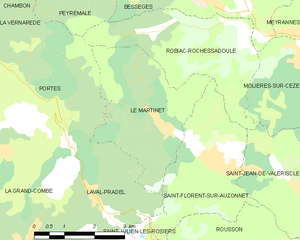
Le Martinet
- commune in Gard, France
- Country:
- Postal Code: 30960
- Coordinates: 44° 15' 11" N, 4° 5' 6" E
- GPS tracks (wikiloc): [Link]
- Area: 10.35 sq km
- Population: 806


Chambon
- commune in Gard, France
- Country:
- Postal Code: 30450
- Coordinates: 44° 18' 7" N, 4° 1' 5" E
- GPS tracks (wikiloc): [Link]
- Area: 14.65 sq km
- Population: 278
- Web site: [Link]


Peyremale
- commune in Gard, France
- Country:
- Postal Code: 30160
- Coordinates: 44° 18' 2" N, 4° 3' 44" E
- GPS tracks (wikiloc): [Link]
- Area: 8.62 sq km
- Population: 287


Laval-Pradel
- commune in Gard, France
- Country:
- Postal Code: 30110
- Coordinates: 44° 13' 54" N, 4° 3' 32" E
- GPS tracks (wikiloc): [Link]
- Area: 17.68 sq km
- Population: 1160
- Web site: [Link]


La Vernarède
- commune in Gard, France
- Country:
- Postal Code: 30530
- Coordinates: 44° 17' 19" N, 4° 0' 33" E
- GPS tracks (wikiloc): [Link]
- Area: 5.59 sq km
- Population: 326

Robiac-Rochessadoule
- commune in Gard, France
- Country:
- Postal Code: 30160
- Coordinates: 44° 16' 44" N, 4° 5' 11" E
- GPS tracks (wikiloc): [Link]
- AboveSeaLevel: 150 м m
- Area: 10.31 sq km
- Population: 874
- Web site: [Link]