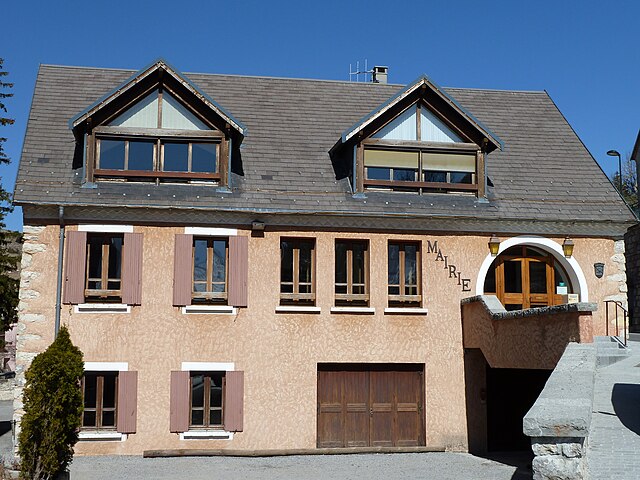
Rabou (Rabou)
- commune in Hautes-Alpes, France
 Hiking in Rabou
Rabou is a charming village located in the French Alps, specifically within the Hautes-Alpes region. It is surrounded by stunning natural landscapes, making it an excellent destination for hiking enthusiasts. Here’s what you need to know about hiking in and around Rabou:
Trails and Difficulty
-
Variety of Trails: Rabou offers a range of hiking trails catering to various skill levels, from easy walks suitable for families to more challenging hikes that appeal to experienced trekkers.
-
Scenic Views: Many of the trails provide breathtaking views of the surrounding mountains, valleys, and local flora and fauna. The landscape is diverse, including forests, alpine meadows, and rocky ridges.
-
Local Hiking Routes: One popular route is the trail to the nearby Montagne de Chabre, which offers panoramic views. Another option is the paths leading around the nearby Dévoluy massif, known for its rugged terrain and beautiful alpine scenery.
Best Time to Hike
- Summer: The best time for hiking in Rabou is during the summer months (June to September) when the weather is generally mild and trails are accessible.
- Fall: Autumn can also be a great time to hike, with beautiful fall colors and fewer crowds.
Preparation
- Gear: Make sure to wear appropriate hiking gear, including sturdy boots and weather-appropriate clothing. Carry trekking poles if you’re tackling steep terrains.
- Navigation: Bring a map or GPS device, as certain trails may not be well-marked.
- Supplies: Pack enough water, snacks, and a first-aid kit for your hike. Additionally, be mindful of weather changes in the mountains.
Local Tips
- Respect Nature: As with any outdoor adventure, it's important to follow Leave No Trace principles to preserve the natural beauty of the area.
- Wildlife Watching: Keep an eye out for local wildlife, but remember to observe from a distance and not to feed animals.
Additional Activities
In addition to hiking, Rabou offers opportunities for other outdoor activities such as mountain biking, climbing, and during winter, skiing in nearby resorts.
Conclusion
Hiking in Rabou is a rewarding experience with its scenic vistas and variety of trails. Whether seeking solitude in nature or embarking on an adventurous trek, the region's beauty will not disappoint. Always check local guidelines and trail conditions before heading out, and enjoy your time in the magnificent French Alps!
- Country:

- Postal Code: 05400
- Coordinates: 44° 35' 28" N, 6° 0' 20" E


- GPS tracks (wikiloc): [Link]
- Area: 26.56 sq km
- Population: 77
- Wikipedia en: wiki(en)
- Wikipedia: wiki(fr)
- Wikidata storage: Wikidata: Q645187
- Wikipedia Commons Category: [Link]
- Freebase ID: [/m/03mfpkf]
- Freebase ID: [/m/03mfpkf]
- GeoNames ID: Alt: [6425615]
- GeoNames ID: Alt: [6425615]
- SIREN number: [210501128]
- SIREN number: [210501128]
- INSEE municipality code: 05112
- INSEE municipality code: 05112
Shares border with regions:

La Roche-des-Arnauds
- commune in Hautes-Alpes, France
Hiking in La Roche-des-Arnauds
La Roche-des-Arnauds is a charming commune in the Hautes-Alpes department of southeastern France, known for its stunning natural landscapes and outdoor recreational opportunities, including hiking. Here are some key points to consider if you're planning to hike in this area:...
- Country:
- Postal Code: 05400
- Coordinates: 44° 33' 48" N, 5° 57' 23" E
- GPS tracks (wikiloc): [Link]
- Area: 53.75 sq km
- Population: 1498

Gap
- commune in Hautes-Alpes, France
Hiking in Gap
Gap, located in the Hautes-Alpes region of southeastern France, is a wonderful destination for hiking enthusiasts. Surrounded by majestic mountains and alpine landscapes, it offers a variety of trails that cater to all levels of hikers, from beginners to experienced trekkers....
- Country:
- Postal Code: 05000
- Coordinates: 44° 33' 31" N, 6° 4' 40" E
- GPS tracks (wikiloc): [Link]
- Area: 110.43 sq km
- Population: 40776
- Web site: [Link]
Dévoluy
- commune in Hautes-Alpes, France
Hiking in Dévoluy
Le Dévoluy is a stunning mountain range located in the French Alps, known for its diverse landscapes, breathtaking scenery, and extensive hiking opportunities. Whether you're an experienced hiker or a beginner, there's something for everyone in this area....
- Country:
- Postal Code: 05250
- Coordinates: 44° 41' 33" N, 5° 56' 28" E
- GPS tracks (wikiloc): [Link]
- Area: 186.37 sq km
- Population: 1011
- Web site: [Link]

Saint-Étienne-en-Dévoluy
- former commune in Hautes-Alpes, France
Hiking in Saint-Étienne-en-Dévoluy
Saint-Étienne-en-Dévoluy is a lovely destination for hiking, located in the Dévoluy massif in the French Alps. This area offers a variety of trails suitable for all levels, from gentle walks to more challenging hikes, making it a perfect place for both beginners and experienced hikers....
- Country:
- Postal Code: 05250
- Coordinates: 44° 41' 36" N, 5° 56' 31" E
- GPS tracks (wikiloc): [Link]
- Population: 525
- Web site: [Link]