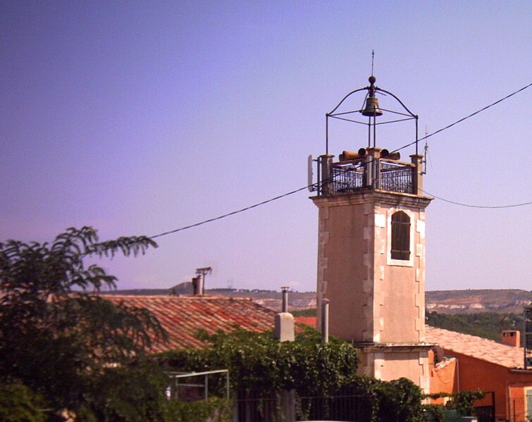
Rognac (Rognac)
- commune in Bouches-du-Rhône, France
- Country:

- Postal Code: 13340
- Coordinates: 43° 29' 16" N, 5° 13' 56" E


- GPS tracks (wikiloc): [Link]
- Area: 17.46 sq km
- Population: 11870
- Web site: http://www.mairie-rognac.fr
- Wikipedia en: wiki(en)
- Wikipedia: wiki(fr)
- Wikidata storage: Wikidata: Q675965
- Wikipedia Commons Category: [Link]
- Freebase ID: [/m/02rpckv]
- GeoNames ID: Alt: [2983130]
- SIREN number: [211300819]
- BnF ID: [15247363f]
- VIAF ID: Alt: [135572539]
- Library of Congress authority ID: Alt: [n78045281]
- PACTOLS thesaurus ID: [pcrtUm9x5z6F5y]
- Digital Atlas of the Roman Empire ID: [17851]
- INSEE municipality code: 13081
Shares border with regions:


Vitrolles
- commune in Bouches-du-Rhône, France
- Country:

- Postal Code: 13127
- Coordinates: 43° 26' 53" N, 5° 14' 59" E


- GPS tracks (wikiloc): [Link]
- Area: 36.58 sq km
- Population: 34089
- Web site: [Link]


Berre-l'Étang
- commune in Bouches-du-Rhône, France
- Country:

- Postal Code: 13130
- Coordinates: 43° 28' 32" N, 5° 10' 5" E


- GPS tracks (wikiloc): [Link]
- Area: 43.64 sq km
- Population: 13477
- Web site: [Link]


Aix-en-Provence
- commune in Bouches-du-Rhône, France
Aix-en-Provence, located in the Provence region of southern France, is surrounded by beautiful landscapes that offer excellent hiking opportunities. Here's what you can expect when hiking in and around Aix-en-Provence:...
- Country:

- Postal Code: 13540; 13290; 13100; 13090; 13080
- Coordinates: 43° 31' 40" N, 5° 26' 44" E


- GPS tracks (wikiloc): [Link]
- AboveSeaLevel: 173 м m
- Area: 186.08 sq km
- Population: 142668
- Web site: [Link]


Velaux
- commune in Bouches-du-Rhône, France
Velaux is a charming village located in the Provence-Alpes-Côte d'Azur region of France, near Marseille and Aix-en-Provence. It offers a variety of hiking opportunities, allowing you to explore beautiful landscapes, vineyards, and local flora and fauna. Here are some highlights for hiking in and around Velaux:...
- Country:

- Postal Code: 13880
- Coordinates: 43° 31' 21" N, 5° 15' 14" E


- GPS tracks (wikiloc): [Link]
- Area: 25.23 sq km
- Population: 8876
- Web site: [Link]

