Rosey (Rosey)

- commune in Haute-Saône, France
- Country:

- Postal Code: 70000
- Coordinates: 47° 33' 56" N, 6° 1' 40" E


- GPS tracks (wikiloc): [Link]
- Area: 14.64 sq km
- Population: 273
- Wikipedia en: wiki(en)
- Wikipedia: wiki(fr)
- Wikidata storage: Wikidata: Q902368
- Wikipedia Commons Category: [Link]
- Freebase ID: [/m/03nvltq]
- SIREN number: [217004522]
- BnF ID: [15272844z]
- INSEE municipality code: 70452
Shares border with regions:

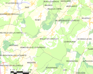
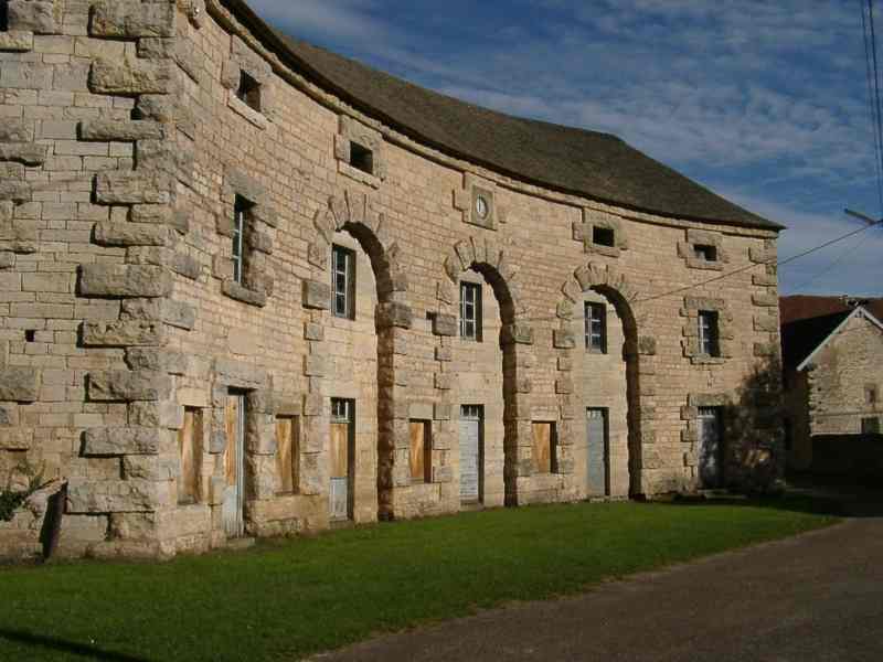
Mailley-et-Chazelot
- commune in Haute-Saône, France
- Country:
- Postal Code: 70000
- Coordinates: 47° 32' 11" N, 6° 3' 6" E
- GPS tracks (wikiloc): [Link]
- Area: 25.03 sq km
- Population: 644
Baignes
- commune in Haute-Saône, France
- Country:
- Postal Code: 70000
- Coordinates: 47° 35' 7" N, 6° 3' 0" E
- GPS tracks (wikiloc): [Link]
- Area: 2.87 sq km
- Population: 95


Raze
- commune in Haute-Saône, France
- Country:
- Postal Code: 70000
- Coordinates: 47° 35' 1" N, 6° 0' 41" E
- GPS tracks (wikiloc): [Link]
- Area: 10.02 sq km
- Population: 346


Neuvelle-lès-la-Charité
- commune in Haute-Saône, France
- Country:
- Postal Code: 70130
- Coordinates: 47° 32' 17" N, 5° 57' 8" E
- GPS tracks (wikiloc): [Link]
- Area: 13.2 sq km
- Population: 226