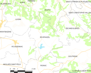
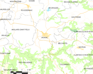
Roussennac (Roussennac)
- commune in Aveyron, France
- Country:

- Postal Code: 12220
- Coordinates: 44° 27' 15" N, 2° 15' 9" E


- GPS tracks (wikiloc): [Link]
- Area: 17.27 sq km
- Population: 606
- Web site: http://www.roussennac.fr
- Wikipedia en: wiki(en)
- Wikipedia: wiki(fr)
- Wikidata storage: Wikidata: Q604342
- Wikipedia Commons Category: [Link]
- Freebase ID: [/m/03m955r]
- GeoNames ID: Alt: [6427005]
- SIREN number: [211202064]
- BnF ID: [152471825]
- INSEE municipality code: 12206
Shares border with regions:


Anglars-Saint-Félix
- commune in Aveyron, France
- Country:

- Postal Code: 12390
- Coordinates: 44° 25' 24" N, 2° 13' 7" E


- GPS tracks (wikiloc): [Link]
- Area: 22.22 sq km
- Population: 796


Montbazens
- commune in Aveyron, France
- Country:

- Postal Code: 12220
- Coordinates: 44° 28' 36" N, 2° 13' 44" E


- GPS tracks (wikiloc): [Link]
- Area: 17.48 sq km
- Population: 1401
- Web site: [Link]


Vaureilles
- commune in Aveyron, France
- Country:

- Postal Code: 12220
- Coordinates: 44° 27' 11" N, 2° 11' 53" E


- GPS tracks (wikiloc): [Link]
- Area: 14.24 sq km
- Population: 520


Lugan
- commune in Aveyron, France
- Country:

- Postal Code: 12220
- Coordinates: 44° 28' 58" N, 2° 15' 32" E


- GPS tracks (wikiloc): [Link]
- AboveSeaLevel: 500 м m
- Area: 12.61 sq km
- Population: 339


Bournazel
- commune in Aveyron, France
- Country:

- Postal Code: 12390
- Coordinates: 44° 27' 39" N, 2° 17' 54" E


- GPS tracks (wikiloc): [Link]
- Area: 16.35 sq km
- Population: 336


Rignac
- commune in Aveyron, France
- Country:

- Postal Code: 12390
- Coordinates: 44° 24' 33" N, 2° 17' 22" E


- GPS tracks (wikiloc): [Link]
- Area: 33.35 sq km
- Population: 1921
- Web site: [Link]
