Saessolsheim (Saessolsheim)

- commune in Bas-Rhin, France
- Country:

- Postal Code: 67270
- Coordinates: 48° 42' 30" N, 7° 30' 47" E


- GPS tracks (wikiloc): [Link]
- Area: 6.49 sq km
- Population: 556
- Wikipedia en: wiki(en)
- Wikipedia: wiki(fr)
- Wikidata storage: Wikidata: Q21456
- Wikipedia Commons Category: [Link]
- Freebase ID: [/m/03cgb0d]
- Freebase ID: [/m/03cgb0d]
- GeoNames ID: Alt: [6441326]
- GeoNames ID: Alt: [6441326]
- SIREN number: [216704239]
- SIREN number: [216704239]
- BnF ID: [15271565v]
- BnF ID: [15271565v]
- MusicBrainz area ID: [340b83af-aa84-4ead-b297-698534fbea7e]
- MusicBrainz area ID: [340b83af-aa84-4ead-b297-698534fbea7e]
- INSEE municipality code: 67423
- INSEE municipality code: 67423
Shares border with regions:


Friedolsheim
- commune in Bas-Rhin, France
- Country:
- Postal Code: 67490
- Coordinates: 48° 42' 23" N, 7° 29' 5" E
- GPS tracks (wikiloc): [Link]
- Area: 3.52 sq km
- Population: 243
Landersheim
- commune in Bas-Rhin, France
- Country:
- Postal Code: 67700
- Coordinates: 48° 41' 22" N, 7° 29' 35" E
- GPS tracks (wikiloc): [Link]
- Area: 2.13 sq km
- Population: 208


Littenheim
- commune in Bas-Rhin, France
- Country:
- Postal Code: 67490
- Coordinates: 48° 43' 43" N, 7° 29' 19" E
- GPS tracks (wikiloc): [Link]
- Area: 4.21 sq km
- Population: 288


Ingenheim
- commune in Bas-Rhin, France
- Country:
- Postal Code: 67270
- Coordinates: 48° 44' 5" N, 7° 31' 14" E
- GPS tracks (wikiloc): [Link]
- Area: 5.37 sq km
- Population: 326

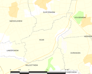
Rohr
- commune in Bas-Rhin, France
- Country:
- Postal Code: 67270
- Coordinates: 48° 41' 46" N, 7° 32' 49" E
- GPS tracks (wikiloc): [Link]
- Area: 3.34 sq km
- Population: 271

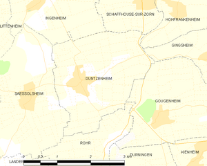
Duntzenheim
- commune in Bas-Rhin, France
- Country:
- Postal Code: 67270
- Coordinates: 48° 42' 43" N, 7° 32' 6" E
- GPS tracks (wikiloc): [Link]
- Area: 6.21 sq km
- Population: 630