canton of Hochfelden (canton de Hochfelden)
- canton of France
- Country:

- Capital: Hochfelden
- Coordinates: 48° 45' 30" N, 7° 34' 13" E


- GPS tracks (wikiloc): [Link]
- Wikipedia en: wiki(en)
- Wikipedia: wiki(fr)
- Wikidata storage: Wikidata: Q1398425
- Freebase ID: [/m/0cn_rtt]
- INSEE canton code: [6710]
Includes regions:


Ettendorf
- commune in Bas-Rhin, France
- Country:

- Postal Code: 67350
- Coordinates: 48° 48' 46" N, 7° 34' 56" E


- GPS tracks (wikiloc): [Link]
- Area: 6.34 sq km
- Population: 778

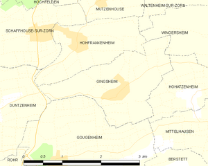
Gingsheim
- former commune in Bas-Rhin, France
- Country:

- Postal Code: 67270
- Coordinates: 48° 43' 1" N, 7° 35' 20" E


- GPS tracks (wikiloc): [Link]
- Area: 3.71 sq km
- Population: 347
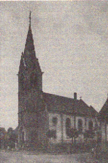

Schwindratzheim
- commune in Bas-Rhin, France
- Country:

- Postal Code: 67270
- Coordinates: 48° 45' 25" N, 7° 36' 6" E


- GPS tracks (wikiloc): [Link]
- Area: 9.14 sq km
- Population: 1620


Wilwisheim
- commune in Bas-Rhin, France
- Country:

- Postal Code: 67270
- Coordinates: 48° 44' 54" N, 7° 30' 27" E


- GPS tracks (wikiloc): [Link]
- Area: 5.3 sq km
- Population: 726

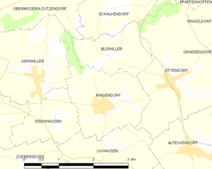
Ringendorf
- commune in Bas-Rhin, France
- Country:

- Postal Code: 67350
- Coordinates: 48° 48' 27" N, 7° 33' 20" E


- GPS tracks (wikiloc): [Link]
- Area: 3.66 sq km
- Population: 442


Friedolsheim
- commune in Bas-Rhin, France
- Country:

- Postal Code: 67490
- Coordinates: 48° 42' 23" N, 7° 29' 5" E


- GPS tracks (wikiloc): [Link]
- Area: 3.52 sq km
- Population: 243

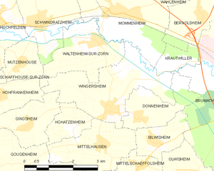
Wingersheim
- former commune in Bas-Rhin, France
- Country:

- Postal Code: 67170
- Coordinates: 48° 43' 20" N, 7° 38' 9" E


- GPS tracks (wikiloc): [Link]
- Area: 8 sq km
- Population: 1162
- Web site: [Link]
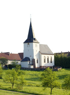

Ringeldorf
- commune in Bas-Rhin, France
- Country:

- Postal Code: 67350
- Coordinates: 48° 49' 31" N, 7° 36' 28" E


- GPS tracks (wikiloc): [Link]
- Area: 2.78 sq km
- Population: 130
Schaffhouse-sur-Zorn
- former commune in Bas-Rhin, France
- Country:

- Postal Code: 67270
- Coordinates: 48° 43' 57" N, 7° 33' 48" E


- GPS tracks (wikiloc): [Link]
- Area: 3.67 sq km
- Population: 414


Ingenheim
- commune in Bas-Rhin, France
- Country:

- Postal Code: 67270
- Coordinates: 48° 44' 5" N, 7° 31' 14" E


- GPS tracks (wikiloc): [Link]
- Area: 5.37 sq km
- Population: 326
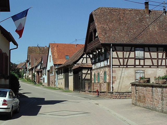
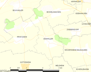
Geiswiller
- former commune in Bas-Rhin, France
- Country:

- Postal Code: 67270
- Coordinates: 48° 47' 17" N, 7° 30' 11" E


- GPS tracks (wikiloc): [Link]
- Area: 3.2 sq km
- Population: 218


Lixhausen
- commune in Bas-Rhin, France
- Country:

- Postal Code: 67270
- Coordinates: 48° 47' 39" N, 7° 32' 57" E


- GPS tracks (wikiloc): [Link]
- Area: 3.29 sq km
- Population: 369


Saessolsheim
- commune in Bas-Rhin, France
- Country:

- Postal Code: 67270
- Coordinates: 48° 42' 30" N, 7° 30' 47" E


- GPS tracks (wikiloc): [Link]
- Area: 6.49 sq km
- Population: 556
Grassendorf
- commune in Bas-Rhin, France
- Country:

- Postal Code: 67350
- Coordinates: 48° 49' 8" N, 7° 36' 51" E


- GPS tracks (wikiloc): [Link]
- Area: 2.24 sq km
- Population: 240


Mutzenhouse
- commune in Bas-Rhin, France
- Country:

- Postal Code: 67270
- Coordinates: 48° 44' 27" N, 7° 35' 19" E


- GPS tracks (wikiloc): [Link]
- Area: 2.21 sq km
- Population: 439

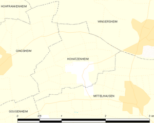
Hohatzenheim
- former commune in Bas-Rhin, France
- Country:

- Postal Code: 67170
- Coordinates: 48° 42' 57" N, 7° 36' 54" E


- GPS tracks (wikiloc): [Link]
- Area: 2 sq km
- Population: 224


Hohfrankenheim
- commune in Bas-Rhin, France
- Country:

- Postal Code: 67270
- Coordinates: 48° 43' 48" N, 7° 34' 35" E


- GPS tracks (wikiloc): [Link]
- Area: 2.76 sq km
- Population: 255
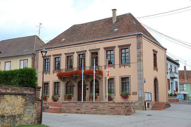

Hochfelden
- former commune in Bas-Rhin, France
- Country:

- Postal Code: 67270
- Coordinates: 48° 45' 34" N, 7° 34' 12" E


- GPS tracks (wikiloc): [Link]
- Area: 12.09 sq km
- Population: 3516
Scherlenheim
- commune in Bas-Rhin, France
- Country:

- Postal Code: 67270
- Coordinates: 48° 45' 52" N, 7° 32' 5" E


- GPS tracks (wikiloc): [Link]
- Area: 2.32 sq km
- Population: 129


Zœbersdorf
- former commune in Bas-Rhin, France
- Country:

- Postal Code: 67270
- Coordinates: 48° 47' 36" N, 7° 31' 27" E


- GPS tracks (wikiloc): [Link]
- AboveSeaLevel: 220 м m
- Area: 1.85 sq km
- Population: 178


Wingersheim-les-Quatre-Bans
- commune in Bas-Rhin, France
- Country:

- Postal Code: 67170, 67270
- Coordinates: 48° 43' 23" N, 7° 38' 12" E


- GPS tracks (wikiloc): [Link]
- Area: 18.52 sq km


Issenhausen
- commune in Bas-Rhin, France
- Country:

- Postal Code: 67330
- Coordinates: 48° 48' 18" N, 7° 32' 13" E


- GPS tracks (wikiloc): [Link]
- Area: 2.1 sq km
- Population: 105


Mittelhausen
- former commune in Bas-Rhin, France
- Country:

- Postal Code: 67170
- Coordinates: 48° 42' 34" N, 7° 37' 50" E


- GPS tracks (wikiloc): [Link]
- Area: 4.81 sq km
- Population: 542
- Web site: [Link]


Melsheim
- commune in Bas-Rhin, France
- Country:

- Postal Code: 67270
- Coordinates: 48° 45' 27" N, 7° 31' 18" E


- GPS tracks (wikiloc): [Link]
- Area: 5.21 sq km
- Population: 582

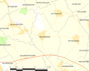
Minversheim
- commune in Bas-Rhin, France
- Country:

- Postal Code: 67270
- Coordinates: 48° 47' 7" N, 7° 37' 20" E


- GPS tracks (wikiloc): [Link]
- Area: 5.45 sq km
- Population: 676

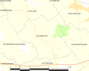
Bossendorf
- commune in Bas-Rhin, France
- Country:

- Postal Code: 67270
- Coordinates: 48° 46' 51" N, 7° 33' 32" E


- GPS tracks (wikiloc): [Link]
- Area: 3.98 sq km
- Population: 401


Alteckendorf
- commune in Bas-Rhin, France
- Country:

- Postal Code: 67270
- Coordinates: 48° 47' 34" N, 7° 35' 40" E


- GPS tracks (wikiloc): [Link]
- Area: 5.72 sq km
- Population: 900
- Web site: [Link]

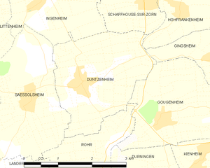
Duntzenheim
- commune in Bas-Rhin, France
- Country:

- Postal Code: 67270
- Coordinates: 48° 42' 43" N, 7° 32' 6" E


- GPS tracks (wikiloc): [Link]
- Area: 6.21 sq km
- Population: 630
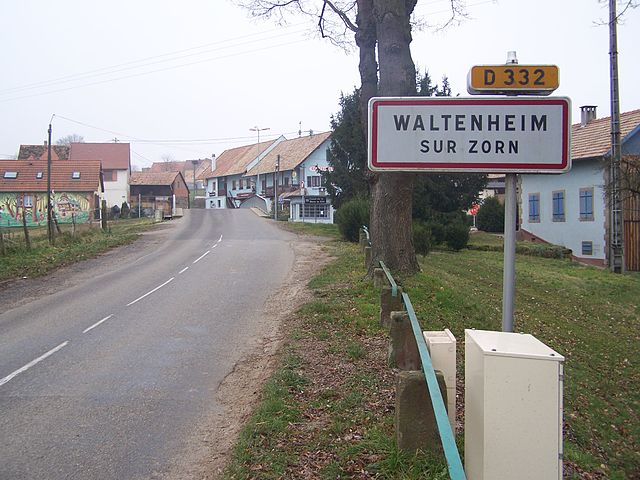

Waltenheim-sur-Zorn
- commune in Bas-Rhin, France
- Country:

- Postal Code: 67670
- Coordinates: 48° 44' 48" N, 7° 37' 46" E


- GPS tracks (wikiloc): [Link]
- Area: 5.04 sq km
- Population: 653


Wickersheim-Wilshausen
- commune in Bas-Rhin, France
- Country:

- Postal Code: 67270
- Coordinates: 48° 46' 59" N, 7° 31' 55" E


- GPS tracks (wikiloc): [Link]
- AboveSeaLevel: 185 м m
- Area: 5.45 sq km
- Population: 418
- Web site: [Link]

Geiswiller-Zœbersdorf
- commune in Bas-Rhin, France
- Country:

- Postal Code: 67270
- Coordinates: 48° 47' 17" N, 7° 30' 11" E


- GPS tracks (wikiloc): [Link]
- Area: 5.05 sq km
- Population: 396
