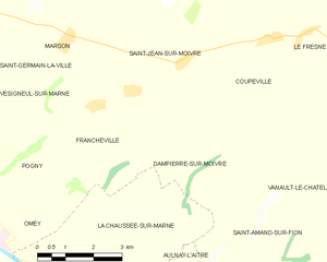
Saint-Amand-sur-Fion (Saint-Amand-sur-Fion)

- commune in Marne, France
- Country:

- Postal Code: 51300
- Coordinates: 48° 48' 38" N, 4° 36' 33" E


- GPS tracks (wikiloc): [Link]
- Area: 28.4 sq km
- Population: 1043
- Web site: http://www.saint-amand-sur-fion.fr/
- Wikipedia en: wiki(en)
- Wikipedia: wiki(fr)
- Wikidata storage: Wikidata: Q674542
- Wikipedia Commons Category: [Link]
- Freebase ID: [/m/03qd940]
- GeoNames ID: Alt: [6435968]
- SIREN number: [215104373]
- BnF ID: [15263068s]
- VIAF ID: Alt: [241846683]
- INSEE municipality code: 51472
Shares border with regions:


Soulanges
- commune in Marne, France
- Country:
- Postal Code: 51300
- Coordinates: 48° 47' 26" N, 4° 32' 6" E
- GPS tracks (wikiloc): [Link]
- Area: 12.37 sq km
- Population: 485


La Chaussée-sur-Marne
- commune in Marne, France
- Country:
- Postal Code: 51240
- Coordinates: 48° 50' 3" N, 4° 31' 22" E
- GPS tracks (wikiloc): [Link]
- Area: 22.05 sq km
- Population: 812

Dampierre-sur-Moivre
- commune in Marne, France
- Country:
- Postal Code: 51240
- Coordinates: 48° 53' 38" N, 4° 33' 31" E
- GPS tracks (wikiloc): [Link]
- Area: 11.55 sq km
- Population: 112
Aulnay-l'Aître
- commune in Marne, France
- Country:
- Postal Code: 51240
- Coordinates: 48° 49' 22" N, 4° 33' 36" E
- GPS tracks (wikiloc): [Link]
- Area: 8.36 sq km
- Population: 159


Saint-Jean-sur-Moivre
- commune in Marne, France
- Country:
- Postal Code: 51240
- Coordinates: 48° 54' 14" N, 4° 35' 0" E
- GPS tracks (wikiloc): [Link]
- Area: 15.07 sq km
- Population: 202
Vanault-le-Châtel
- commune in Marne, France
- Country:
- Postal Code: 51330
- Coordinates: 48° 51' 53" N, 4° 43' 32" E
- GPS tracks (wikiloc): [Link]
- Area: 34.78 sq km
- Population: 177
Saint-Lumier-en-Champagne
- commune in Marne, France
- Country:
- Postal Code: 51300
- Coordinates: 48° 47' 43" N, 4° 37' 38" E
- GPS tracks (wikiloc): [Link]
- Area: 8.56 sq km
- Population: 262

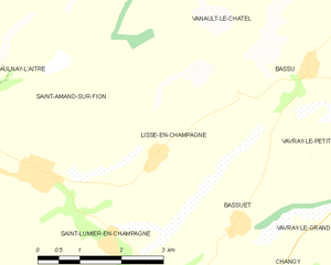
Lisse-en-Champagne
- commune in Marne, France
- Country:
- Postal Code: 51300
- Coordinates: 48° 48' 47" N, 4° 38' 32" E
- GPS tracks (wikiloc): [Link]
- AboveSeaLevel: 126 м m
- Area: 8.29 sq km
- Population: 123