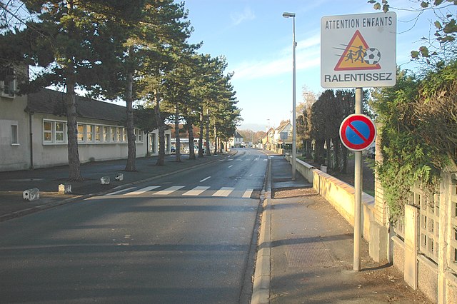
Saint-André-sur-Orne (Saint-André-sur-Orne)
- commune in Calvados, France
- Country:

- Postal Code: 14320
- Coordinates: 49° 7' 6" N, 0° 22' 59" E


- GPS tracks (wikiloc): [Link]
- Area: 3.68 sq km
- Population: 1802
- Web site: http://www.saint-andre-sur-orne.com
- Wikipedia en: wiki(en)
- Wikipedia: wiki(fr)
- Wikidata storage: Wikidata: Q645526
- Wikipedia Commons Category: [Link]
- Freebase ID: [/m/02wvxlp]
- Freebase ID: [/m/02wvxlp]
- GeoNames ID: Alt: [6427415]
- GeoNames ID: Alt: [6427415]
- SIREN number: [211405568]
- SIREN number: [211405568]
- BnF ID: [152479664]
- BnF ID: [152479664]
- VIAF ID: Alt: [136508522]
- VIAF ID: Alt: [136508522]
- Library of Congress authority ID: Alt: [nr2004009782]
- Library of Congress authority ID: Alt: [nr2004009782]
- PACTOLS thesaurus ID: [pcrtpA5Iv0BUSM]
- PACTOLS thesaurus ID: [pcrtpA5Iv0BUSM]
- INSEE municipality code: 14556
- INSEE municipality code: 14556
Shares border with regions:


May-sur-Orne
- commune in Calvados, France
- Country:

- Postal Code: 14320
- Coordinates: 49° 6' 1" N, 0° 22' 26" E


- GPS tracks (wikiloc): [Link]
- Area: 3.49 sq km
- Population: 1903
- Web site: [Link]


Louvigny
- commune in Calvados, France
- Country:

- Postal Code: 14111
- Coordinates: 49° 9' 28" N, 0° 23' 31" E


- GPS tracks (wikiloc): [Link]
- Area: 5.64 sq km
- Population: 2788
- Web site: [Link]


Fleury-sur-Orne
- commune in Calvados, France
- Country:

- Postal Code: 14123
- Coordinates: 49° 8' 46" N, 0° 22' 35" E


- GPS tracks (wikiloc): [Link]
- Area: 6.75 sq km
- Population: 4744
- Web site: [Link]


Maltot
- commune in Calvados, France
- Country:

- Postal Code: 14930
- Coordinates: 49° 7' 45" N, 0° 25' 22" E


- GPS tracks (wikiloc): [Link]
- Area: 4.24 sq km
- Population: 1071
- Web site: [Link]


Saint-Martin-de-Fontenay
- commune in Calvados, France
- Country:

- Postal Code: 14320
- Coordinates: 49° 7' 9" N, 0° 22' 16" E


- GPS tracks (wikiloc): [Link]
- Area: 10.72 sq km
- Population: 2594
- Web site: [Link]


Feuguerolles-Bully
- commune in Calvados, France
- Country:

- Postal Code: 14320
- Coordinates: 49° 7' 1" N, 0° 24' 26" E


- GPS tracks (wikiloc): [Link]
- AboveSeaLevel: 90 м m
- Area: 8.18 sq km
- Population: 1418
- Web site: [Link]
