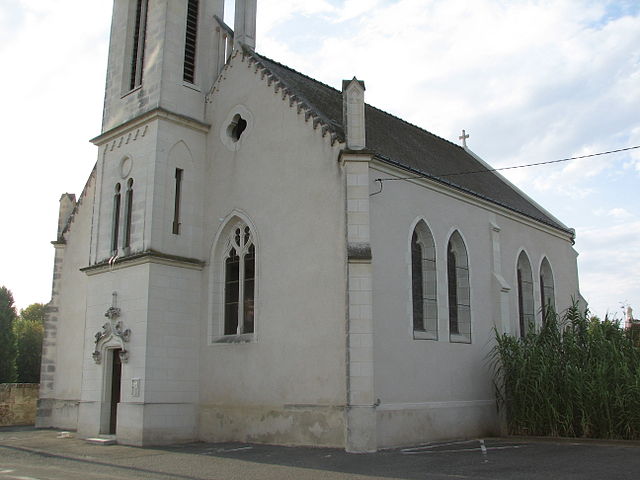
Saint-Genouph (Saint-Genouph)

- commune in Indre-et-Loire, France
- Country:

- Postal Code: 37510
- Coordinates: 47° 22' 42" N, 0° 35' 55" E


- GPS tracks (wikiloc): [Link]
- Area: 4.74 sq km
- Population: 1055
- Web site: http://www.commune-saint-genouph.fr
- Wikipedia en: wiki(en)
- Wikipedia: wiki(fr)
- Wikidata storage: Wikidata: Q1171980
- Wikipedia Commons Category: [Link]
- Freebase ID: [/m/03nvdmc]
- GeoNames ID: Alt: [6433110]
- SIREN number: [213702194]
- BnF ID: [15257769t]
- PACTOLS thesaurus ID: [pcrtU9u31MDZRH]
- INSEE municipality code: 37219
Shares border with regions:

Berthenay
- commune in Indre-et-Loire, France
- Country:
- Postal Code: 37510
- Coordinates: 47° 21' 47" N, 0° 31' 27" E
- GPS tracks (wikiloc): [Link]
- Area: 7.24 sq km
- Population: 724
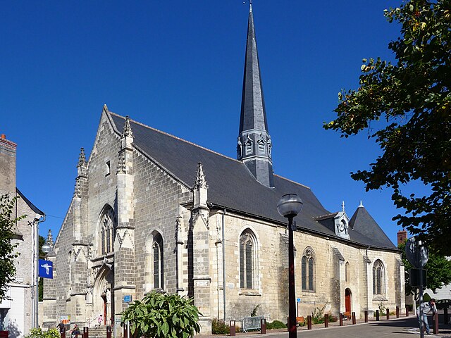
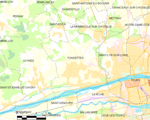
Fondettes
- commune in Indre-et-Loire, France
- Country:
- Postal Code: 37230
- Coordinates: 47° 24' 15" N, 0° 35' 56" E
- GPS tracks (wikiloc): [Link]
- Area: 31.83 sq km
- Population: 10493
- Web site: [Link]


Ballan-Miré
- commune in Indre-et-Loire, France
- Country:
- Postal Code: 37510
- Coordinates: 47° 20' 30" N, 0° 36' 47" E
- GPS tracks (wikiloc): [Link]
- Area: 26.16 sq km
- Population: 7911
- Web site: [Link]


La Riche
- commune in Indre-et-Loire, France
- Country:
- Postal Code: 37520
- Coordinates: 47° 23' 21" N, 0° 39' 38" E
- GPS tracks (wikiloc): [Link]
- Area: 8.17 sq km
- Population: 10403
- Web site: [Link]


Luynes
- commune in Indre-et-Loire, France
- Country:
- Postal Code: 37230
- Coordinates: 47° 23' 5" N, 0° 33' 16" E
- GPS tracks (wikiloc): [Link]
- Area: 34.01 sq km
- Population: 5153
- Web site: [Link]


Savonnières
- commune in Indre-et-Loire, France
- Country:
- Postal Code: 37510
- Coordinates: 47° 20' 52" N, 0° 32' 54" E
- GPS tracks (wikiloc): [Link]
- Area: 16.46 sq km
- Population: 3141
- Web site: [Link]