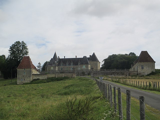
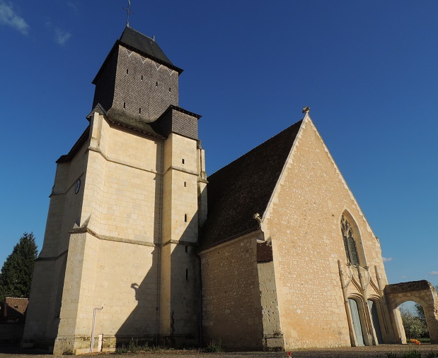
Saint-Germain-de-la-Coudre (Saint-Germain-de-la-Coudre)

- commune in Orne, France
- Country:

- Postal Code: 61130
- Coordinates: 48° 16' 50" N, 0° 36' 17" E


- GPS tracks (wikiloc): [Link]
- Area: 26.21 sq km
- Population: 772
- Web site: http://www.stgermaindelacoudre.org
- Wikipedia en: wiki(en)
- Wikipedia: wiki(fr)
- Wikidata storage: Wikidata: Q1441758
- Wikipedia Commons Category: [Link]
- Freebase ID: [/m/03x_xzc]
- Freebase ID: [/m/03x_xzc]
- GeoNames ID: Alt: [6439252]
- GeoNames ID: Alt: [6439252]
- SIREN number: [216103945]
- SIREN number: [216103945]
- BnF ID: [152683246]
- BnF ID: [152683246]
- INSEE municipality code: 61394
- INSEE municipality code: 61394
Shares border with regions:

La Chapelle-Souëf
- commune in Orne, France
- Country:
- Postal Code: 61130
- Coordinates: 48° 19' 24" N, 0° 35' 45" E
- GPS tracks (wikiloc): [Link]
- Area: 11.13 sq km
- Population: 265


Gémages
- former commune in Orne, France
- Country:
- Postal Code: 61130
- Coordinates: 48° 17' 39" N, 0° 36' 56" E
- GPS tracks (wikiloc): [Link]
- Area: 6.47 sq km
- Population: 121


Bellou-le-Trichard
- commune in Orne, France
- Country:
- Postal Code: 61130
- Coordinates: 48° 16' 4" N, 0° 32' 47" E
- GPS tracks (wikiloc): [Link]
- Area: 9.67 sq km
- Population: 222
- Web site: [Link]

Avezé
- commune in Sarthe, France
- Country:
- Postal Code: 72400
- Coordinates: 48° 13' 38" N, 0° 40' 38" E
- GPS tracks (wikiloc): [Link]
- Area: 20.81 sq km
- Population: 744
Souvigné-sur-Même
- commune in Sarthe, France
- Country:
- Postal Code: 72400
- Coordinates: 48° 13' 11" N, 0° 38' 12" E
- GPS tracks (wikiloc): [Link]
- Area: 6.28 sq km
- Population: 179

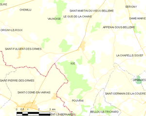
Igé
- commune in Orne, France
- Country:
- Postal Code: 61130
- Coordinates: 48° 19' 28" N, 0° 31' 17" E
- GPS tracks (wikiloc): [Link]
- Area: 27.86 sq km
- Population: 663


Préval
- commune in Sarthe, France
- Country:
- Postal Code: 72400
- Coordinates: 48° 14' 5" N, 0° 37' 26" E
- GPS tracks (wikiloc): [Link]
- Area: 7.62 sq km
- Population: 685


La Chapelle-du-Bois
- commune in Sarthe, France
- Country:
- Postal Code: 72400
- Coordinates: 48° 13' 15" N, 0° 35' 33" E
- GPS tracks (wikiloc): [Link]
- Area: 16.53 sq km
- Population: 883