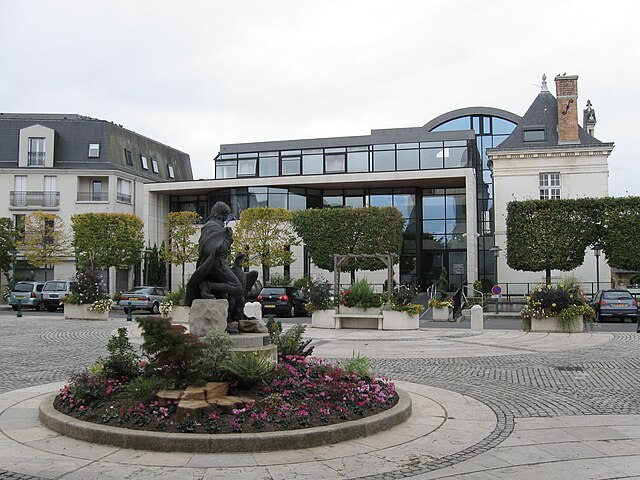
Saint-Jean-de-Braye (Saint-Jean-de-Braye)
- commune in Loiret, France
- Country:

- Postal Code: 45800
- Coordinates: 47° 54' 43" N, 1° 58' 16" E


- GPS tracks (wikiloc): [Link]
- AboveSeaLevel: 100 м m
- Area: 13.7 sq km
- Population: 20123
- Web site: http://www.saintjeandebraye.fr
- Wikipedia en: wiki(en)
- Wikipedia: wiki(fr)
- Wikidata storage: Wikidata: Q787817
- Wikipedia Commons Category: [Link]
- Freebase ID: [/m/03mfbsd]
- GeoNames ID: Alt: [2979341]
- SIREN number: [214502841]
- BnF ID: [15260676b]
- VIAF ID: Alt: [138478555]
- Library of Congress authority ID: Alt: [n88069994]
- PACTOLS thesaurus ID: [pcrt7AQ0NhW8Ke]
- MusicBrainz area ID: [e04b6a00-ef0a-4c8a-a1c4-ac3916e06bcc]
- SUDOC authorities ID: [086024469]
- ISNI: Alt: [0000 0001 2168 1069]
- INSEE municipality code: 45284
Shares border with regions:


Semoy
- commune in Loiret, France
- Country:

- Postal Code: 45400
- Coordinates: 47° 55' 56" N, 1° 56' 55" E


- GPS tracks (wikiloc): [Link]
- Area: 7.78 sq km
- Population: 3199
- Web site: [Link]


Marigny-les-Usages
- commune in Loiret, France
- Country:

- Postal Code: 45760
- Coordinates: 47° 57' 26" N, 2° 0' 59" E


- GPS tracks (wikiloc): [Link]
- Area: 9.66 sq km
- Population: 1428


Saint-Jean-le-Blanc
- commune in Loiret, France
- Country:

- Postal Code: 45650
- Coordinates: 47° 53' 31" N, 1° 55' 2" E


- GPS tracks (wikiloc): [Link]
- Area: 7.66 sq km
- Population: 8459
- Web site: [Link]


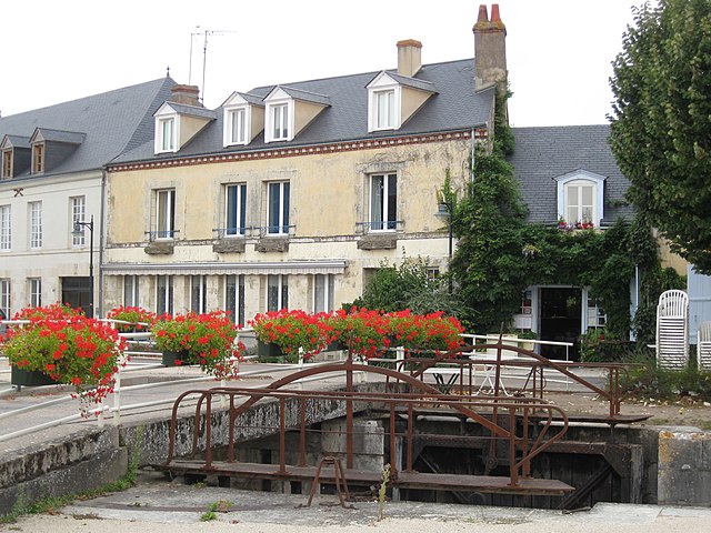
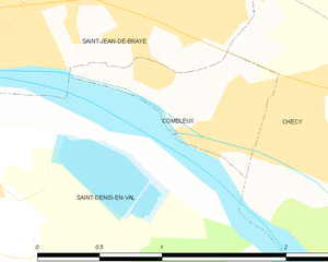
Combleux
- commune in Loiret, France
- Country:

- Postal Code: 45800
- Coordinates: 47° 53' 59" N, 1° 59' 26" E


- GPS tracks (wikiloc): [Link]
- Area: 1.1 sq km
- Population: 509


Orléans
- city in north-central France
- Country:

- Postal Code: 45100; 45000
- Coordinates: 47° 54' 8" N, 1° 54' 15" E


- GPS tracks (wikiloc): [Link]
- AboveSeaLevel: 116 м m
- Area: 27.48 sq km
- Population: 114644
- Web site: [Link]


Chécy
- commune in Loiret, France
- Country:

- Postal Code: 45430
- Coordinates: 47° 53' 37" N, 2° 1' 37" E


- GPS tracks (wikiloc): [Link]
- Area: 15.47 sq km
- Population: 8791
- Web site: [Link]


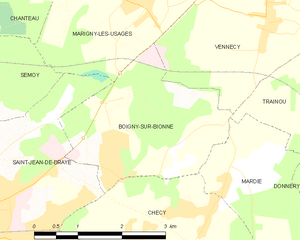
Boigny-sur-Bionne
- commune in Loiret, France
- Country:

- Postal Code: 45760
- Coordinates: 47° 55' 39" N, 2° 0' 34" E


- GPS tracks (wikiloc): [Link]
- Area: 7.53 sq km
- Population: 2174
- Web site: [Link]


Saint-Denis-en-Val
- commune in Loiret, France
- Country:

- Postal Code: 45560
- Coordinates: 47° 52' 38" N, 1° 57' 36" E


- GPS tracks (wikiloc): [Link]
- Area: 17.11 sq km
- Population: 7497
- Web site: [Link]
