Saint-Jean-de-la-Porte (Saint-Jean-de-la-Porte)

- commune in Savoie, France
 Hiking in Saint-Jean-de-la-Porte
Saint-Jean-de-la-Porte is a charming village in the Savoie region of the French Alps, known for its beautiful landscapes and outdoor activities, including hiking. Here are some highlights and tips for hiking in this area:
Scenic Trails
-
Les Sentiers du Patrimoine: This network of trails allows hikers to explore the cultural and natural heritage of the region. You'll find marked paths that take you through forests, pastures, and historical sites.
-
Alpine Trails: You can also find trails that lead up into the surrounding alpine terrain. These often offer stunning views of the surrounding mountains and valleys, making for rewarding hikes.
-
La Grande Chartreuse: While not directly in Saint-Jean-de-la-Porte, nearby trails can lead you to the Grande Chartreuse monastery, which is a significant historical and spiritual site in the area.
Tips for Hiking
- Prepare for Varying Weather: The weather in the Alps can change rapidly, so make sure to dress in layers and bring waterproof gear.
- Safety First: Always let someone know your hiking plans and carry a map or GPS device, as some trails may not be well marked.
- Hydration and Snacks: Carry plenty of water and some energy snacks, especially if you are planning a longer hike.
Best Times to Hike
The best hiking season is typically from late spring to early autumn (May to October). This is when the trails are usually clear of snow and flower blooms can be seen.
Local Attractions
After your hike, consider exploring the village itself. It is a great place to relax, enjoy some local cuisine, or visit historical sites. The scenic beauty and tranquility of Saint-Jean-de-la-Porte make it a wonderful destination for both novice and experienced hikers.
Enjoy your hiking adventure in this picturesque alpine village!
- Country:

- Postal Code: 73250
- Coordinates: 45° 33' 24" N, 6° 7' 41" E


- GPS tracks (wikiloc): [Link]
- Area: 16.01 sq km
- Population: 902
- Web site: http://www.saintjeandelaporte.fr
- Wikipedia en: wiki(en)
- Wikipedia: wiki(fr)
- Wikidata storage: Wikidata: Q1222581
- Wikipedia Commons Category: [Link]
- Freebase ID: [/m/03npgqp]
- GeoNames ID: Alt: [6442881]
- SIREN number: [217302470]
- BnF ID: [15274178t]
- VIAF ID: Alt: [235257331]
- INSEE municipality code: 73247
Shares border with regions:


Sainte-Reine, Savoie
- commune in Savoie, France
Hiking in Sainte-Reine, Savoie
Sainte-Reine is a charming commune in the Savoie region of the French Alps, known for its beautiful landscapes and rich natural heritage. Hiking in this area can be a delightful experience for outdoor enthusiasts, offering a variety of trails suitable for different skill levels. Here are some highlights and tips for hiking in Sainte-Reine, Savoie:...
- Country:
- Postal Code: 73630
- Coordinates: 45° 36' 42" N, 6° 8' 23" E
- GPS tracks (wikiloc): [Link]
- Area: 14.62 sq km
- Population: 153
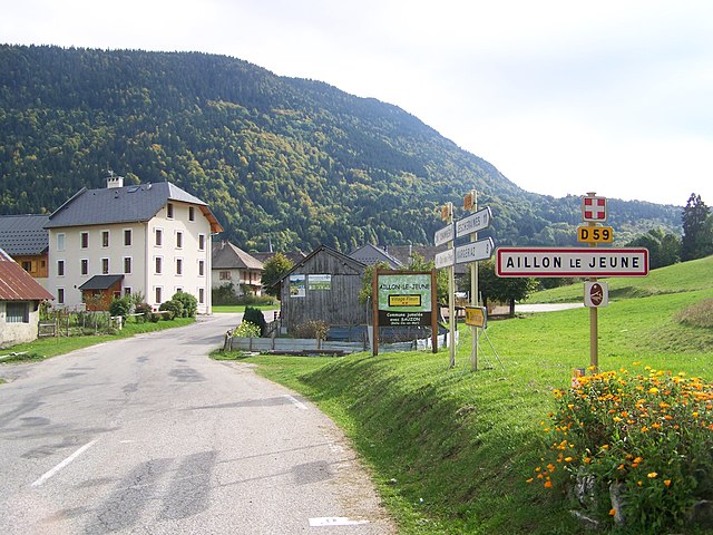

Aillon-le-Jeune
- commune in Savoie, France
Hiking in Aillon-le-Jeune
Aillon-le-Jeune is a charming mountain village located in the Savoie region of the French Alps, known for its stunning natural landscapes and outdoor activities, particularly hiking. The area is part of the Bauges Regional Natural Park, offering a diverse range of trails ranging from easy walks to challenging hikes....
- Country:
- Postal Code: 73340
- Coordinates: 45° 37' 5" N, 6° 4' 50" E
- GPS tracks (wikiloc): [Link]
- Area: 34.09 sq km
- Population: 435


Châteauneuf, Savoie
- commune in Savoie, France
Hiking in Châteauneuf, Savoie
Châteauneuf is a charming village located in the Savoie region of the French Alps, offering beautiful landscapes and a variety of hiking opportunities. Here are some highlights about hiking in the area:...
- Country:
- Postal Code: 73390
- Coordinates: 45° 32' 40" N, 6° 10' 53" E
- GPS tracks (wikiloc): [Link]
- Area: 6.99 sq km
- Population: 857


La Thuile, Savoie
- commune in Savoie, France
Hiking in La Thuile, Savoie
La Thuile is a beautiful alpine village located in the Aosta Valley region of Italy, near the French border. It’s an excellent destination for hiking enthusiasts, offering a range of trails that cater to different skill levels, from leisurely walks to more challenging treks. Here’s what you need to know about hiking in La Thuile, Savoie:...
- Country:
- Postal Code: 73190
- Coordinates: 45° 31' 58" N, 6° 3' 22" E
- GPS tracks (wikiloc): [Link]
- Area: 18.26 sq km
- Population: 331
- Web site: [Link]


Coise-Saint-Jean-Pied-Gauthier
- commune in Savoie, France
Hiking in Coise-Saint-Jean-Pied-Gauthier
Coise-Saint-Jean-Pied-Gauthier, located in the Savoie region of the French Alps, offers stunning hiking opportunities amidst beautiful mountainous landscapes. While specific trails may vary in difficulty and length, here are some general points to consider when hiking in this area:...
- Country:
- Postal Code: 73800
- Coordinates: 45° 31' 32" N, 6° 8' 33" E
- GPS tracks (wikiloc): [Link]
- Area: 10.38 sq km
- Population: 1219

Saint-Pierre-d'Albigny
- commune in Savoie, France
Hiking in Saint-Pierre-d'Albigny
Saint-Pierre-d'Albigny, located in the Savoie region of the French Alps, offers a variety of hiking opportunities suitable for different skill levels. The area is characterized by its stunning natural landscapes, rolling hills, and proximity to the alpine terrain....
- Country:
- Postal Code: 73250
- Coordinates: 45° 34' 11" N, 6° 9' 19" E
- GPS tracks (wikiloc): [Link]
- Area: 18.46 sq km
- Population: 3936
- Web site: [Link]


Cruet, Savoie
- commune in Savoie, France
Hiking in Cruet, Savoie
Cruet in Savoie is a charming commune located in the French Alps, offering a variety of hiking opportunities amidst stunning alpine scenery. Here’s what you should know about hiking in this area:...
- Country:
- Postal Code: 73800
- Coordinates: 45° 31' 41" N, 6° 5' 29" E
- GPS tracks (wikiloc): [Link]
- Area: 10.06 sq km
- Population: 1015