Saint-Michel-de-Lapujade (Saint-Michel-de-Lapujade)

- commune in Gironde, France
- Country:

- Postal Code: 33190
- Coordinates: 44° 34' 54" N, 0° 4' 14" E


- GPS tracks (wikiloc): [Link]
- AboveSeaLevel: 85 м m
- Area: 7.47 sq km
- Population: 225
- Web site: http://stmicheldelapujade.free.fr
- Wikipedia en: wiki(en)
- Wikipedia: wiki(fr)
- Wikidata storage: Wikidata: Q717553
- Wikipedia Commons Category: [Link]
- Freebase ID: [/m/03ns1sv]
- GeoNames ID: Alt: [2977963]
- SIREN number: [213304538]
- BnF ID: [15256501d]
- INSEE municipality code: 33453
Shares border with regions:

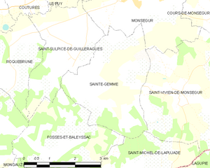
Sainte-Gemme
- commune in Gironde, France
- Country:
- Postal Code: 33580
- Coordinates: 44° 37' 13" N, 0° 4' 11" E
- GPS tracks (wikiloc): [Link]
- Area: 9.55 sq km
- Population: 202


Fossès-et-Baleyssac
- commune in Gironde, France
- Country:
- Postal Code: 33190
- Coordinates: 44° 35' 39" N, 0° 2' 31" E
- GPS tracks (wikiloc): [Link]
- Area: 9.4 sq km
- Population: 209


Saint-Vivien-de-Monségur
- commune in Gironde, France
- Country:
- Postal Code: 33580
- Coordinates: 44° 36' 58" N, 0° 6' 25" E
- GPS tracks (wikiloc): [Link]
- Area: 15.83 sq km
- Population: 365
- Web site: [Link]


Lamothe-Landerron
- commune in Gironde, France
- Country:
- Postal Code: 33190
- Coordinates: 44° 33' 30" N, 0° 3' 39" E
- GPS tracks (wikiloc): [Link]
- Area: 9.18 sq km
- Population: 1199

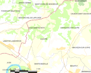
Lagupie
- commune in Lot-et-Garonne, France
- Country:
- Postal Code: 47180
- Coordinates: 44° 33' 23" N, 0° 6' 53" E
- GPS tracks (wikiloc): [Link]
- Area: 8.69 sq km
- Population: 761


Mongauzy
- commune in Gironde, France
- Country:
- Postal Code: 33190
- Coordinates: 44° 34' 2" N, 0° 2' 1" E
- GPS tracks (wikiloc): [Link]
- Area: 6.84 sq km
- Population: 601


Saint-Martin-Petit
- commune in Lot-et-Garonne, France
- Country:
- Postal Code: 47180
- Coordinates: 44° 33' 42" N, 0° 5' 5" E
- GPS tracks (wikiloc): [Link]
- Area: 6.39 sq km
- Population: 545
- Web site: [Link]