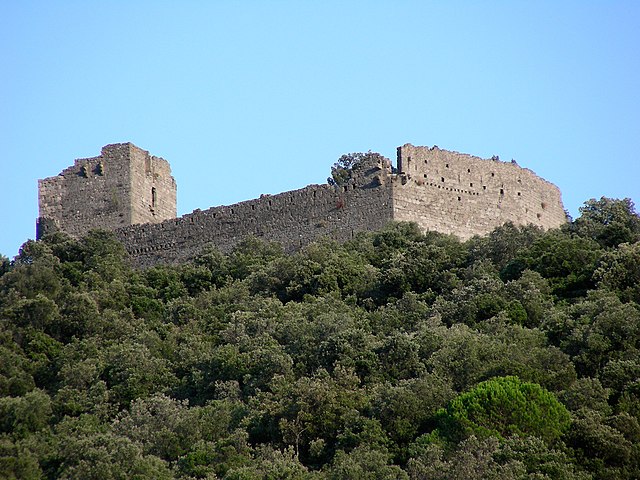
Saint-Nazaire-des-Gardies (Saint-Nazaire-des-Gardies)
- commune in Gard, France
- Country:

- Postal Code: 30610
- Coordinates: 43° 58' 46" N, 4° 1' 3" E


- GPS tracks (wikiloc): [Link]
- Area: 11.29 sq km
- Population: 80
- Wikipedia en: wiki(en)
- Wikipedia: wiki(fr)
- Wikidata storage: Wikidata: Q239879
- Wikipedia Commons Category: [Link]
- Freebase ID: [/m/03c7znn]
- GeoNames ID: Alt: [6431430]
- SIREN number: [213002892]
- BnF ID: [15254929d]
- PACTOLS thesaurus ID: [pcrtr2EiSnDbRH]
- Pleiades ID: [148090]
- INSEE municipality code: 30289
Shares border with regions:
Massillargues-Attuech
- commune in Gard, France
- Country:

- Postal Code: 30140
- Coordinates: 44° 0' 54" N, 4° 1' 27" E


- GPS tracks (wikiloc): [Link]
- Area: 6.27 sq km
- Population: 657


Durfort-et-Saint-Martin-de-Sossenac
- commune in Gard, France
- Country:

- Postal Code: 30170
- Coordinates: 43° 59' 26" N, 3° 57' 19" E


- GPS tracks (wikiloc): [Link]
- Area: 16.28 sq km
- Population: 689


Logrian-Florian
- commune in Gard, France
- Country:

- Postal Code: 30610
- Coordinates: 43° 57' 21" N, 4° 1' 44" E


- GPS tracks (wikiloc): [Link]
- AboveSeaLevel: 118 м m
- Area: 8.58 sq km
- Population: 267
- Web site: [Link]


Tornac
- commune in Gard, France
- Country:

- Postal Code: 30140
- Coordinates: 44° 1' 22" N, 3° 59' 48" E


- GPS tracks (wikiloc): [Link]
- Area: 19.68 sq km
- Population: 868


Canaules-et-Argentières
- commune in Gard, France
- Country:

- Postal Code: 30350
- Coordinates: 43° 58' 51" N, 4° 3' 9" E


- GPS tracks (wikiloc): [Link]
- Area: 10.06 sq km
- Population: 402
Saint-Jean-de-Crieulon
- commune in Gard, France
- Country:

- Postal Code: 30610
- Coordinates: 43° 58' 20" N, 3° 59' 32" E


- GPS tracks (wikiloc): [Link]
- Area: 5.57 sq km
- Population: 251
