arrondissement of Le Vigan (arrondissement du Vigan)

- arrondissement of France
- Country:

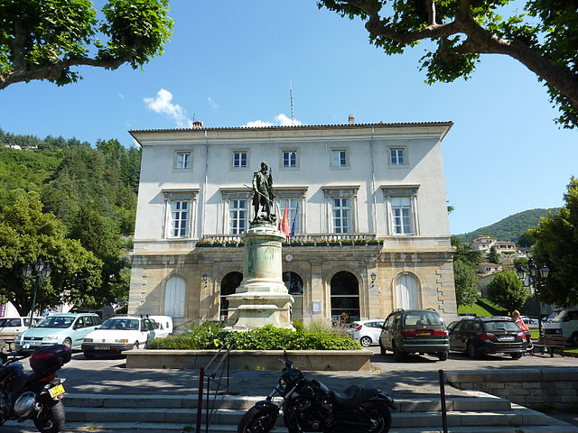
- Capital: Le Vigan
- Coordinates: 44° 0' 0" N, 3° 40' 0" E


- GPS tracks (wikiloc): [Link]
- Area: 1398 sq km
- Population: 39183
- Wikipedia en: wiki(en)
- Wikipedia: wiki(fr)
- Wikidata storage: Wikidata: Q701465
- Freebase ID: [/m/095k5x]
- GeoNames ID: Alt: [2969157]
- INSEE arrondissement code: [303]
- GNS Unique Feature ID: -1476333
Includes regions:

canton of Le Vigan
- canton of France
- Country:
- Capital: Le Vigan
- Coordinates: 43° 59' 0" N, 3° 36' 0" E
- GPS tracks (wikiloc): [Link]
- Population: 22961


canton of Quissac
- canton of France
- Country:
- Capital: Quissac
- Coordinates: 43° 55' 0" N, 4° 0' 0" E
- GPS tracks (wikiloc): [Link]
- Population: 26266

canton of Saint-Hippolyte-du-Fort
- canton of France
- Country:
- Capital: Saint-Hippolyte-du-Fort
- Coordinates: 43° 58' 0" N, 3° 51' 0" E
- GPS tracks (wikiloc): [Link]
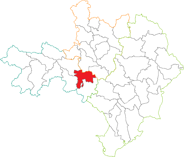


canton of Valleraugue
- canton of France
- Country:
- Capital: Valleraugue
- Coordinates: 44° 5' 0" N, 3° 38' 0" E
- GPS tracks (wikiloc): [Link]

canton of Saint-André-de-Valborgne
- canton of France (until March 2015)
- Country:
- Capital: Saint-André-de-Valborgne
- Coordinates: 44° 9' 0" N, 3° 41' 0" E
- GPS tracks (wikiloc): [Link]
