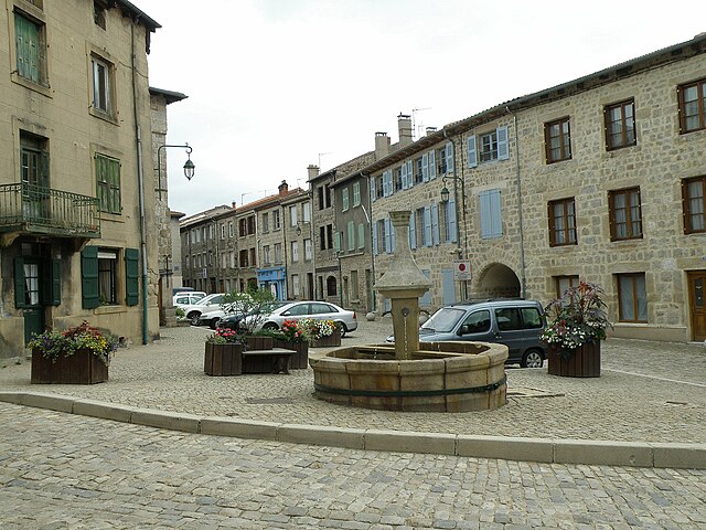
Saint-Pal-de-Mons (Saint-Pal-de-Mons)

- commune in Haute-Loire, France
- Country:

- Postal Code: 43620
- Coordinates: 45° 14' 47" N, 4° 16' 27" E


- GPS tracks (wikiloc): [Link]
- Area: 27.11 sq km
- Population: 2272
- Web site: http://www.mairie-saintpaldemons.fr
- Wikipedia en: wiki(en)
- Wikipedia: wiki(fr)
- Wikidata storage: Wikidata: Q1322811
- Wikipedia Commons Category: [Link]
- Freebase ID: [/m/03ntp9y]
- GeoNames ID: Alt: [2977762]
- SIREN number: [214302135]
- BnF ID: [15260117f]
- PACTOLS thesaurus ID: [pcrtZsS458DeEV]
- INSEE municipality code: 43213
Shares border with regions:
Raucoules
- commune in Haute-Loire, France
- Country:
- Postal Code: 43290
- Coordinates: 45° 11' 15" N, 4° 17' 42" E
- GPS tracks (wikiloc): [Link]
- Area: 21.01 sq km
- Population: 911


Lapte
- commune in Haute-Loire, France
- Country:
- Postal Code: 43200
- Coordinates: 45° 11' 9" N, 4° 13' 1" E
- GPS tracks (wikiloc): [Link]
- Area: 30.75 sq km
- Population: 1704
- Web site: [Link]
Sainte-Sigolène
- commune in Haute-Loire, France
- Country:
- Postal Code: 43600
- Coordinates: 45° 14' 35" N, 4° 14' 5" E
- GPS tracks (wikiloc): [Link]
- Area: 30.64 sq km
- Population: 5959
- Web site: [Link]


Dunières
- commune in Haute-Loire, France
- Country:
- Postal Code: 43220
- Coordinates: 45° 12' 56" N, 4° 20' 41" E
- GPS tracks (wikiloc): [Link]
- Area: 34.75 sq km
- Population: 2856
- Web site: [Link]


Saint-Victor-Malescours
- commune in Haute-Loire, France
- Country:
- Postal Code: 43140
- Coordinates: 45° 17' 30" N, 4° 18' 44" E
- GPS tracks (wikiloc): [Link]
- Area: 14.47 sq km
- Population: 829

Saint-Didier-en-Velay
- commune in Haute-Loire, France
- Country:
- Postal Code: 43140
- Coordinates: 45° 18' 10" N, 4° 16' 31" E
- GPS tracks (wikiloc): [Link]
- Area: 25.56 sq km
- Population: 3444


Saint-Romain-Lachalm
- commune in Haute-Loire, France
- Country:
- Postal Code: 43620
- Coordinates: 45° 15' 58" N, 4° 20' 3" E
- GPS tracks (wikiloc): [Link]
- Area: 19.02 sq km
- Population: 1071