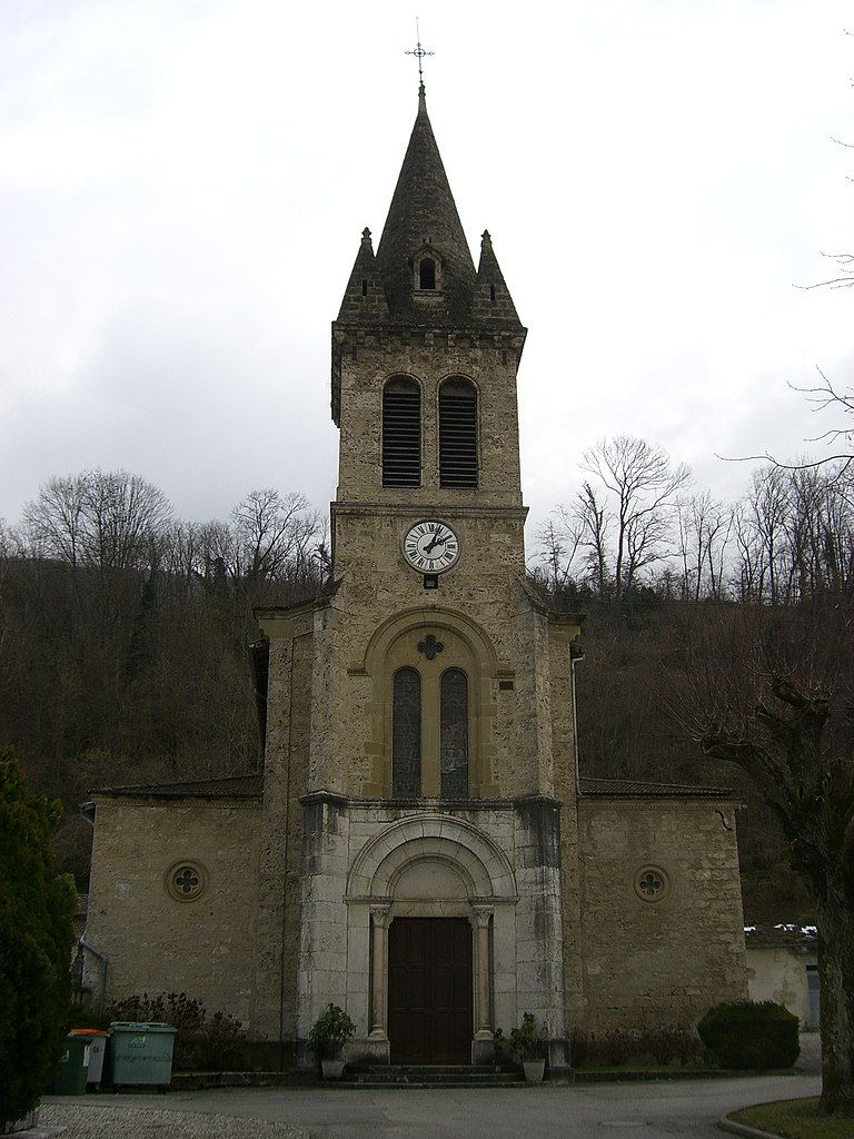
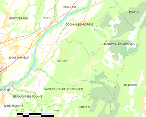
Saint-Pierre-de-Chérennes (Saint-Pierre-de-Chérennes)

- commune in Isère, France
 Hiking in Saint-Pierre-de-Chérennes
Saint-Pierre-de-Chérennes, located in the Isère department of the Auvergne-Rhône-Alpes region in southeastern France, offers a picturesque setting for hiking enthusiasts. The surrounding landscapes are characterized by rolling hills, lush forests, and stunning views of the nearby mountains, making it an ideal location for outdoor activities.
Hiking Opportunities:
-
Trails: The area features various hiking trails, ranging from easy walks suitable for families to more challenging routes for experienced hikers. The local trails often take you through beautiful natural scenery, including pastures and woodland, and can lead to viewpoints overlooking the Alps.
-
Local Nature: The biodiversity in this region is remarkable, with opportunities to spot local wildlife and a range of flora. Spring and early summer are particularly beautiful, with wildflowers blooming across the landscape.
-
Guided Tours: Consider joining guided hikes if you're unfamiliar with the area. Local guides can provide insights into the natural history and cultural significance of the landscape.
-
Access and Facilities: Saint-Pierre-de-Chérennes is accessible by car, and parking is usually available at the trailheads. Be sure to check local resources for maps and information on specific trails.
-
Safety: Always be prepared when heading out for a hike. This includes wearing proper footwear, bringing enough water and snacks, and dressing appropriately for changing weather conditions. It's advisable to check the weather forecast before your hike.
-
Nearby Attractions: In addition to hiking, you can explore other outdoor activities such as cycling or visiting local markets to experience regional cuisine.
Tips for Hiking in Saint-Pierre-de-Chérennes:
- Start Early: To avoid crowds and enjoy a more serene experience, start your hikes early in the morning.
- Respect Nature: Keep to marked trails, take your litter home, and respect wildlife to preserve the natural beauty of the area.
- Local Regulations: Be mindful of any local regulations regarding flora and fauna conservation.
Saint-Pierre-de-Chérennes may not be as well-known as some other hiking destinations in the French Alps, but it offers a charming and peaceful atmosphere for those looking to explore the great outdoors.
- Country:

- Postal Code: 38160
- Coordinates: 45° 7' 15" N, 5° 21' 44" E


- GPS tracks (wikiloc): [Link]
- Area: 12.03 sq km
- Population: 477
- Web site: http://www.st-pierre-de-cherennes.sud-gresivaudan.org
- Wikipedia en: wiki(en)
- Wikipedia: wiki(fr)
- Wikidata storage: Wikidata: Q947243
- Wikipedia Commons Category: [Link]
- Freebase ID: [/m/03nvhkx]
- SIREN number: [213804438]
- BnF ID: [15258251m]
- PACTOLS thesaurus ID: [pcrtEBSY0wRfFZ]
- INSEE municipality code: 38443
Shares border with regions:
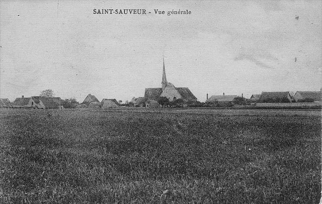
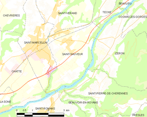
Saint-Sauveur
- commune in Isère, France
Hiking in Saint-Sauveur
Saint-Sauveur is a charming village located in the Isère department of the Auvergne-Rhône-Alpes region in southeastern France. It's known for its beautiful natural landscapes, making it a great destination for hiking enthusiasts....
- Country:
- Postal Code: 38160
- Coordinates: 45° 9' 9" N, 5° 20' 31" E
- GPS tracks (wikiloc): [Link]
- Area: 9.42 sq km
- Population: 2100
- Web site: [Link]


Presles
- commune in Isère, France
Hiking in Presles
Presles is a charming village located in the Grand Chartreuse mountain range in the Isère department of the Auvergne-Rhône-Alpes region of France. It's known for its stunning natural beauty, making it a great destination for hiking enthusiasts. Here are some key points about hiking in and around Presles:...
- Country:
- Postal Code: 38680
- Coordinates: 45° 5' 28" N, 5° 22' 59" E
- GPS tracks (wikiloc): [Link]
- Area: 25.68 sq km
- Population: 89

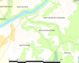
Beauvoir-en-Royans
- commune in Isère, France
Hiking in Beauvoir-en-Royans
Beauvoir-en-Royans is a charming village located in the Drôme department in southeastern France, nestled in the picturesque landscapes of the Vercors Regional Natural Park. This area is known for its stunning natural beauty, making it an excellent destination for hiking enthusiasts....
- Country:
- Postal Code: 38160
- Coordinates: 45° 7' 15" N, 5° 20' 17" E
- GPS tracks (wikiloc): [Link]
- AboveSeaLevel: 281 м m
- Area: 2.1 sq km
- Population: 89

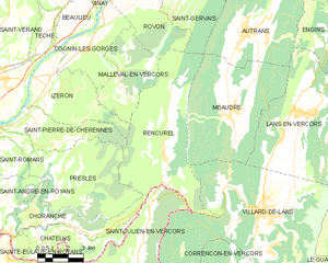
Rencurel
- commune in Isère, France
Hiking in Rencurel
Rencurel is a charming village located in the Vercors region of France, known for its stunning natural landscapes and excellent hiking opportunities. The Vercors is part of the larger Prealps, characterized by its dramatic cliffs, deep gorges, and lush forests, making it an ideal destination for outdoor enthusiasts....
- Country:
- Postal Code: 38680
- Coordinates: 45° 6' 9" N, 5° 28' 22" E
- GPS tracks (wikiloc): [Link]
- Area: 34.63 sq km
- Population: 304
- Web site: [Link]
Izeron
- commune in Isère, France
Hiking in Izeron
Izeron is a charming village located in the Isère department of southeastern France, not far from the Vercors National Park. The surrounding area is characterized by its beautiful landscapes, diverse flora and fauna, and a variety of hiking trails that cater to different skill levels....
- Country:
- Postal Code: 38160
- Coordinates: 45° 8' 48" N, 5° 22' 33" E
- GPS tracks (wikiloc): [Link]
- Area: 17.19 sq km
- Population: 701
- Web site: [Link]