canton of Pont-en-Royans (canton de Pont-en-Royans)
- canton of France
 Hiking in canton of Pont-en-Royans
Canton de Pont-en-Royans, located in the Isère department of the Auvergne-Rhône-Alpes region in France, is a stunning area known for its dramatic landscapes, picturesque villages, and numerous hiking opportunities. Here are some highlights and tips for hiking in this region:
Scenic Trails:
-
Gorges de la Bourne: This area features spectacular gorges with breathtaking views. Trails along the river provide options for varying skill levels, and you'll encounter impressive limestone cliffs, lush vegetation, and crystal-clear waters.
-
Pic Saint-Michel: A hike to this viewpoint rewards climbers with panoramic vistas of the Vercors Mountain range. It’s a moderately challenging hike that offers a mix of forest paths and rocky terrain.
-
Les Cots de Saint-Jean-en-Royans: This network of hiking trails allows for exploration of the beautiful surrounding countryside. You can enjoy the rich biodiversity and possibly spot local wildlife.
Points of Interest:
-
Pont-en-Royans Village: The village itself is famous for its unique cliffside houses and charming streets. It's a great starting point for various hikes and offers local restaurants for post-hike meals.
-
Musee de la Bibite: If you're interested in local entomology, this small insect museum in Pont-en-Royans adds an interesting educational component to your visit.
Hiking Tips:
-
Best Seasons: Spring and fall are ideal for hiking due to moderate temperatures and beautiful foliage. Summer can be warm, so plan early morning hikes to avoid the heat.
-
Gear: Wear sturdy hiking boots and bring plenty of water, snacks, and a map or GPS device, as some trails may not be well marked.
-
Safety: As with hiking in any mountainous region, check the weather forecast before you set out. Be prepared for sudden changes in weather, especially in the mountains.
-
Local Regulations: Be mindful of local wildlife and adhere to any trail regulations to help preserve the natural beauty of the area.
Whether you're an experienced hiker or a beginner, Canton de Pont-en-Royans offers a wealth of trails and natural beauty that make for unforgettable hiking adventures. Enjoy your trek!
- Country:

- Capital: Pont-en-Royans
- Coordinates: 45° 5' 32" N, 5° 21' 27" E


- GPS tracks (wikiloc): [Link]
- Wikidata storage: Wikidata: Q1726775
- INSEE canton code: [3822]
Includes regions:


Auberives-en-Royans
- commune in Isère, France
Auberives-en-Royans is a charming village located in the Isère department in the Auvergne-Rhône-Alpes region of southeastern France. The area is known for its picturesque landscapes, rich history, and outdoor activities, making it a great spot for hiking enthusiasts....
- Country:

- Postal Code: 38680
- Coordinates: 45° 3' 48" N, 5° 18' 5" E


- GPS tracks (wikiloc): [Link]
- Area: 5.07 sq km
- Population: 370


Saint-Just-de-Claix
- commune in Isère, France
Saint-Just-de-Claix is a charming village located in the Drôme department of the Auvergne-Rhône-Alpes region of southeastern France. It sits at the foothills of the Vercors Massif, a stunning area known for its dramatic landscapes, limestone cliffs, and extensive hiking trails. Here are some highlights of hiking in and around Saint-Just-de-Claix:...
- Country:

- Postal Code: 38680
- Coordinates: 45° 4' 29" N, 5° 17' 2" E


- GPS tracks (wikiloc): [Link]
- Area: 11.59 sq km
- Population: 1178


Saint-André-en-Royans
- commune in Isère, France
 Hiking in Saint-André-en-Royans
Saint-André-en-Royans is a picturesque village located in the Drôme department of southeastern France, within the stunning Vercors Regional Natural Park. The area is known for its spectacular landscapes, rugged cliffs, lush forests, and unique geological formations, making it a great location for hiking enthusiasts of all levels....
- Country:

- Postal Code: 38680
- Coordinates: 45° 5' 9" N, 5° 20' 19" E


- GPS tracks (wikiloc): [Link]
- Area: 10.42 sq km
- Population: 319
- Web site: [Link]


Presles
- commune in Isère, France
Presles is a charming village located in the Grand Chartreuse mountain range in the Isère department of the Auvergne-Rhône-Alpes region of France. It's known for its stunning natural beauty, making it a great destination for hiking enthusiasts. Here are some key points about hiking in and around Presles:...
- Country:

- Postal Code: 38680
- Coordinates: 45° 5' 28" N, 5° 22' 59" E


- GPS tracks (wikiloc): [Link]
- Area: 25.68 sq km
- Population: 89

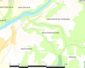
Beauvoir-en-Royans
- commune in Isère, France
Beauvoir-en-Royans is a charming village located in the Drôme department in southeastern France, nestled in the picturesque landscapes of the Vercors Regional Natural Park. This area is known for its stunning natural beauty, making it an excellent destination for hiking enthusiasts....
- Country:

- Postal Code: 38160
- Coordinates: 45° 7' 15" N, 5° 20' 17" E


- GPS tracks (wikiloc): [Link]
- AboveSeaLevel: 281 м m
- Area: 2.1 sq km
- Population: 89

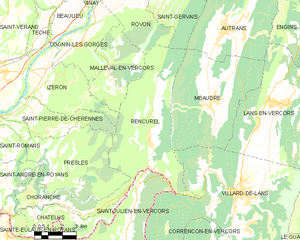
Rencurel
- commune in Isère, France
Rencurel is a charming village located in the Vercors region of France, known for its stunning natural landscapes and excellent hiking opportunities. The Vercors is part of the larger Prealps, characterized by its dramatic cliffs, deep gorges, and lush forests, making it an ideal destination for outdoor enthusiasts....
- Country:

- Postal Code: 38680
- Coordinates: 45° 6' 9" N, 5° 28' 22" E


- GPS tracks (wikiloc): [Link]
- Area: 34.63 sq km
- Population: 304
- Web site: [Link]
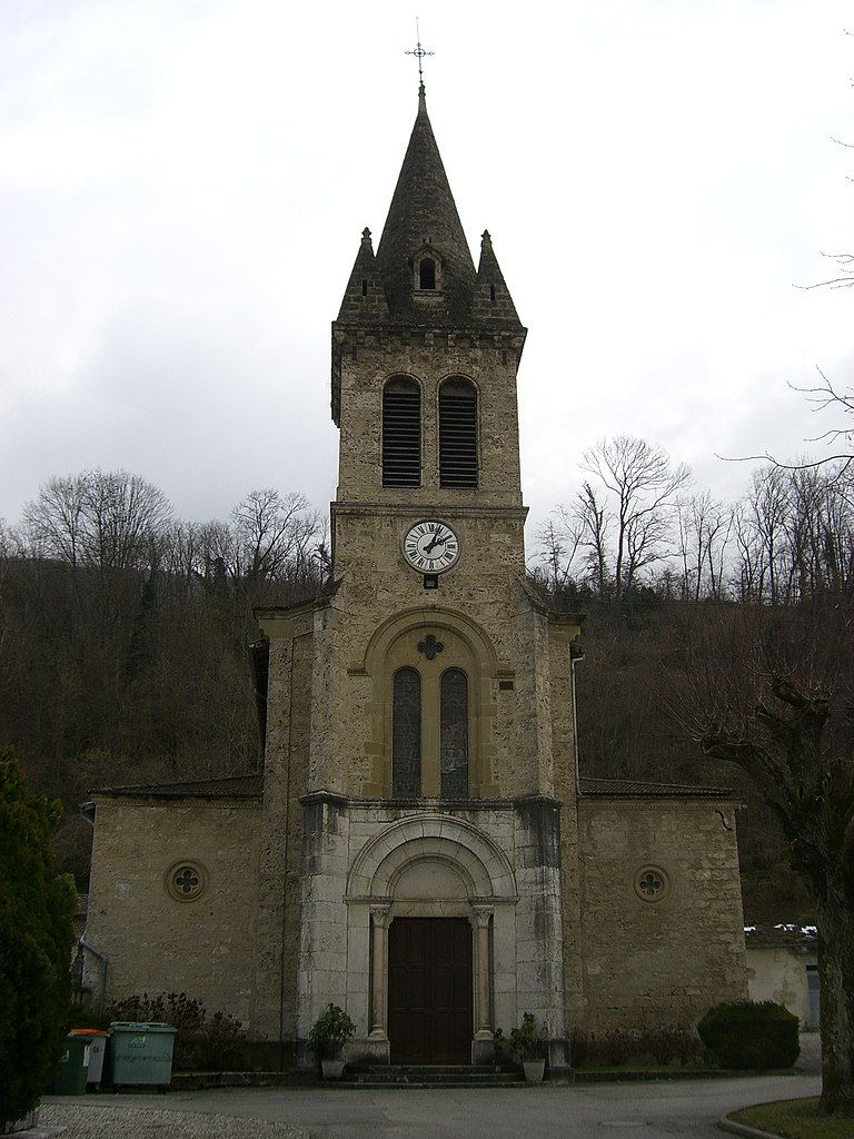
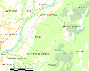
Izeron
- commune in Isère, France
Izeron is a charming village located in the Isère department of southeastern France, not far from the Vercors National Park. The surrounding area is characterized by its beautiful landscapes, diverse flora and fauna, and a variety of hiking trails that cater to different skill levels....
- Country:

- Postal Code: 38160
- Coordinates: 45° 8' 48" N, 5° 22' 33" E


- GPS tracks (wikiloc): [Link]
- Area: 17.19 sq km
- Population: 701
- Web site: [Link]

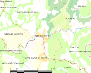
Pont-en-Royans
- commune in Isère, France
Pont-en-Royans is a charming village located in the Isère department of the Auvergne-Rhône-Alpes region in southeastern France. It is known for its picturesque landscape and stunning cliffs that overlook the river Bourne, making it a fantastic destination for hiking enthusiasts....
- Country:

- Postal Code: 38680
- Coordinates: 45° 3' 47" N, 5° 20' 34" E


- GPS tracks (wikiloc): [Link]
- Area: 2.9 sq km
- Population: 785
- Web site: [Link]


Saint-Romans
- commune in Isère, France
Saint-Romans is a picturesque village located in the Isère department of the Auvergne-Rhône-Alpes region in southeastern France. This location offers various hiking opportunities for both novice and experienced hikers. Here are some highlights to consider when hiking in and around Saint-Romans:...
- Country:

- Postal Code: 38160
- Coordinates: 45° 6' 57" N, 5° 19' 37" E


- GPS tracks (wikiloc): [Link]
- Area: 17.04 sq km
- Population: 1786
- Web site: [Link]

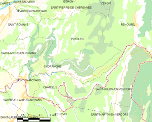
Choranche
- commune in Isère, France
Choranche, located in the Isère department in the Auvergne-Rhône-Alpes region of France, is known for its stunning natural beauty and outdoor activities, including hiking. The area is particularly famous for its impressive gorges, limestone cliffs, and beautiful landscapes....
- Country:

- Postal Code: 38680
- Coordinates: 45° 4' 1" N, 5° 23' 28" E


- GPS tracks (wikiloc): [Link]
- Area: 10.63 sq km
- Population: 124

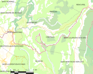
Châtelus
- commune in Isère, France
Châtelus is a charming village located in the Isère department of the Auvergne-Rhône-Alpes region in southeastern France. The area is known for its picturesque landscapes, making it a great destination for hiking enthusiasts looking to explore natural beauty and enjoy outdoor activities....
- Country:

- Postal Code: 38680
- Coordinates: 45° 3' 29" N, 5° 22' 21" E


- GPS tracks (wikiloc): [Link]
- Area: 12.3 sq km
- Population: 96

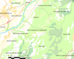
Saint-Pierre-de-Chérennes
- commune in Isère, France
 Hiking in Saint-Pierre-de-Chérennes
Saint-Pierre-de-Chérennes, located in the Isère department of the Auvergne-Rhône-Alpes region in southeastern France, offers a picturesque setting for hiking enthusiasts. The surrounding landscapes are characterized by rolling hills, lush forests, and stunning views of the nearby mountains, making it an ideal location for outdoor activities....
- Country:

- Postal Code: 38160
- Coordinates: 45° 7' 15" N, 5° 21' 44" E


- GPS tracks (wikiloc): [Link]
- Area: 12.03 sq km
- Population: 477
- Web site: [Link]