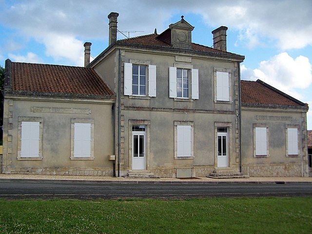
Saint-Quentin-de-Caplong (Saint-Quentin-de-Caplong)

- commune in Gironde, France
- Country:

- Postal Code: 33220
- Coordinates: 44° 47' 1" N, 0° 7' 53" E


- GPS tracks (wikiloc): [Link]
- Area: 11.27 sq km
- Population: 247
- Wikipedia en: wiki(en)
- Wikipedia: wiki(fr)
- Wikidata storage: Wikidata: Q1007667
- Wikipedia Commons Category: [Link]
- Freebase ID: [/m/03ns1y_]
- GeoNames ID: Alt: [6432443]
- SIREN number: [213304678]
- BnF ID: [152565153]
- VIAF ID: Alt: [141795116]
- INSEE municipality code: 33467
Shares border with regions:


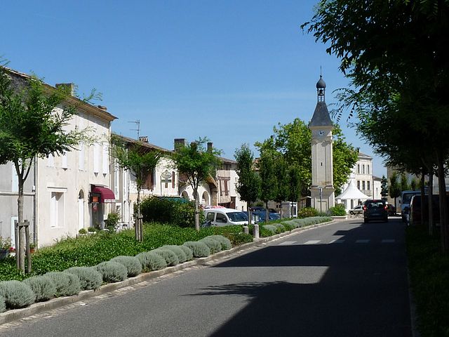
Les Lèves-et-Thoumeyragues
- commune in Gironde, France
- Country:
- Postal Code: 33220
- Coordinates: 44° 47' 35" N, 0° 10' 29" E
- GPS tracks (wikiloc): [Link]
- AboveSeaLevel: 80 м m
- Area: 15.58 sq km
- Population: 566


Saint-Avit-de-Soulège
- commune in Gironde, France
- Country:
- Postal Code: 33220
- Coordinates: 44° 48' 47" N, 0° 7' 32" E
- GPS tracks (wikiloc): [Link]
- Area: 2.84 sq km
- Population: 81

Massugas
- commune in Gironde, France
- Country:
- Postal Code: 33790
- Coordinates: 44° 46' 6" N, 0° 5' 9" E
- GPS tracks (wikiloc): [Link]
- Area: 14.41 sq km
- Population: 226


Saint-André-et-Appelles
- commune in Gironde, France
- Country:
- Postal Code: 33220
- Coordinates: 44° 49' 8" N, 0° 11' 39" E
- GPS tracks (wikiloc): [Link]
- Area: 10.25 sq km
- Population: 710


Pessac-sur-Dordogne
- commune in Gironde, France
- Country:
- Postal Code: 33890
- Coordinates: 44° 49' 15" N, 0° 4' 44" E
- GPS tracks (wikiloc): [Link]
- Area: 7.78 sq km
- Population: 479
- Web site: [Link]

Gensac
- commune in Gironde, France
- Country:
- Postal Code: 33890
- Coordinates: 44° 48' 21" N, 0° 4' 22" E
- GPS tracks (wikiloc): [Link]
- Area: 9.38 sq km
- Population: 808
- Web site: [Link]


Eynesse
- commune in Gironde, France
- Country:
- Postal Code: 33220
- Coordinates: 44° 49' 30" N, 0° 9' 16" E
- GPS tracks (wikiloc): [Link]
- Area: 7.59 sq km
- Population: 586


Caplong
- commune in Gironde, France
- Country:
- Postal Code: 33220
- Coordinates: 44° 46' 38" N, 0° 8' 16" E
- GPS tracks (wikiloc): [Link]
- Area: 9.27 sq km
- Population: 229