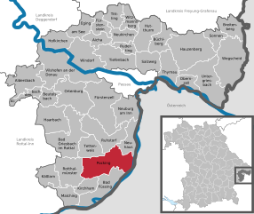
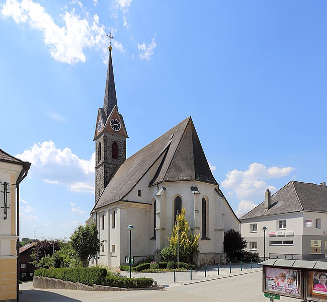
Sankt Marienkirchen bei Schärding (St. Marienkirchen bei Schärding)
- municipality in Austria
 Hiking in Sankt Marienkirchen bei Schärding
Sankt Marienkirchen bei Schärding, located in Austria, offers a beautiful backdrop for hiking enthusiasts. Nestled in the scenic Innviertel region, it features a mix of gentle hills, lush green landscapes, and stunning views of the surrounding countryside, including the nearby River Inn.
Hiking Opportunities:
-
Local Trails: There are several well-marked hiking trails in and around Sankt Marienkirchen. These range from easy walks suitable for families to more challenging routes for experienced hikers. The paths often take you through forests, along rivers, and past quaint farms.
-
Cultural Routes: Some trails may also provide insights into local culture and history, with opportunities to explore traditional villages and historical sites.
-
Nature Observation: The area is rich in biodiversity, making it a great spot for birdwatching and spotting local wildlife. It is ideal for nature lovers looking to capture photographs and enjoy the serenity of nature.
-
Nearby Attractions: A short drive or hike away, you may explore the picturesque town of Schärding, known for its baroque architecture and charming historical center, as well as the beautiful Inn River, which can be a lovely addition to your hiking experience.
Tips for Hiking in the Area:
- Weather Preparedness: Check the weather forecast before heading out, as conditions can change quickly in mountainous regions.
- Footwear: Invest in good hiking boots for comfort and support, especially if you plan on tackling more difficult trails.
- Hydration and Snacks: Always carry sufficient water and snacks to keep your energy up.
- Trail Maps: Obtain a map or download trail apps to help navigate the routes. Local tourism offices can provide useful information.
- Respect Nature: Follow Leave No Trace principles to preserve the beauty of the area for future hikers.
Overall, hiking in Sankt Marienkirchen bei Schärding can be a rewarding experience, blending outdoor adventure with cultural exploration in a serene setting. Always remember to prioritize safety and enjoy the natural beauty that the region has to offer!
- Country:

- Postal Code: 4774
- Local Dialing Code: 07711
- Licence Plate Code: SD
- Coordinates: 48° 23' 0" N, 13° 27' 0" E


- GPS tracks (wikiloc): [Link]
- AboveSeaLevel: 338 м m
- Area: 25 sq km
- Population: 1832
- Web site: http://www.st-marienkirchen.at/
- Wikipedia en: wiki(en)
- Wikipedia: wiki(de)
- Wikidata storage: Wikidata: Q682927
- Wikipedia Commons Category: [Link]
- Freebase ID: [/m/03gvbqx]
- GeoNames ID: Alt: [2766539]
- Austrian municipality key: [41419]
Shares border with regions:

Taufkirchen an der Pram
- municipality in Austria
Hiking in Taufkirchen an der Pram
Taufkirchen an der Pram is a picturesque village located in the Upper Austria region, known for its beautiful landscapes and rural charm. When it comes to hiking in the area, you'll find a variety of trails that showcase the natural beauty of the surrounding countryside. Here are some aspects to consider for hiking in Taufkirchen an der Pram:...
- Country:
- Postal Code: 4775
- Local Dialing Code: 07719
- Licence Plate Code: SD
- Coordinates: 48° 25' 0" N, 13° 32' 0" E
- GPS tracks (wikiloc): [Link]
- AboveSeaLevel: 338 м m
- Area: 29.15 sq km
- Population: 2925
- Web site: [Link]

Pocking
- municipality of Germany
Hiking in Pocking
Pocking is a town located in Bavaria, Germany, near the border with Austria. While it may not be as widely recognized for hiking as other regions in Bavaria, it offers access to some lovely trails and scenic landscapes....
- Country:

- Postal Code: 94060
- Local Dialing Code: 08531
- Licence Plate Code: PA
- Coordinates: 48° 23' 59" N, 13° 19' 0" E
- GPS tracks (wikiloc): [Link]
- AboveSeaLevel: 323 м m
- Area: 68.86 sq km
- Population: 11152
- Web site: [Link]

Antiesenhofen
- municipality in Austria
Hiking in Antiesenhofen
Antiesenhofen is a small municipality located in the Upper Austria region of Austria. While it may not be as widely recognized as some of the larger hiking destinations in Austria, it offers a tranquil and scenic environment perfect for nature lovers and those looking to escape into the outdoors....
- Country:
- Postal Code: 4980
- Local Dialing Code: 07759
- Licence Plate Code: RI
- Coordinates: 48° 20' 33" N, 13° 23' 52" E
- GPS tracks (wikiloc): [Link]
- AboveSeaLevel: 346 м m
- Area: 8.6 sq km
- Population: 1091
- Web site: [Link]

Sankt Florian am Inn
- municipality in Austria
Hiking in Sankt Florian am Inn
Sankt Florian am Inn is a picturesque village located in the Innviertel region of Upper Austria, right along the banks of the River Inn. The area is known for its natural beauty, rolling hills, and varied landscapes, making it a fantastic destination for hikers of all levels. Here are some highlights to consider:...
- Country:
- Postal Code: 4782
- Licence Plate Code: SD
- Coordinates: 48° 26' 0" N, 13° 36' 0" E
- GPS tracks (wikiloc): [Link]
- AboveSeaLevel: 321 м m
- Area: 24 sq km
- Population: 3150
- Web site: [Link]

Suben
- municipality in Austria
Hiking in Suben
Suben is a small town in Austria, located in the Upper Austria region. It's known for its scenic landscapes, including lush forests and rolling hills, which can provide some lovely hiking opportunities. When exploring hiking in and around Suben, here are a few things to consider:...
- Country:
- Postal Code: 4975
- Local Dialing Code: 07711
- Licence Plate Code: SD
- Coordinates: 48° 25' 0" N, 13° 26' 0" E
- GPS tracks (wikiloc): [Link]
- AboveSeaLevel: 329 м m
- Area: 6 sq km
- Population: 1508
- Web site: [Link]
Eggerding
- municipality in Austria
Hiking in Eggerding
Eggerding, a small village located in Austria, is surrounded by beautiful landscapes that offer a range of hiking opportunities. The region is characterized by picturesque alpine scenery, rolling hills, and lush forests, making it a great destination for hikers of all skill levels....
- Country:
- Postal Code: 4773
- Local Dialing Code: 07767
- Licence Plate Code: SD
- Coordinates: 48° 21' 0" N, 13° 29' 0" E
- GPS tracks (wikiloc): [Link]
- AboveSeaLevel: 382 м m
- Area: 22 sq km
- Population: 1320
- Web site: [Link]