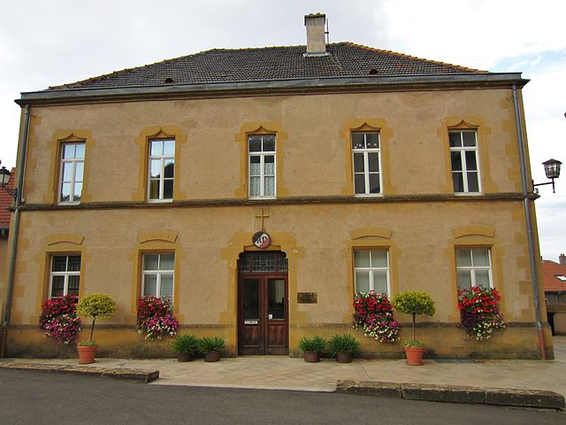
Saulny (Saulny)

- commune in Moselle, France
- Country:

- Postal Code: 57140
- Coordinates: 49° 9' 32" N, 6° 6' 20" E


- GPS tracks (wikiloc): [Link]
- Area: 9.8 sq km
- Population: 1399
- Web site: http://www.saulny.fr
- Wikipedia en: wiki(en)
- Wikipedia: wiki(fr)
- Wikidata storage: Wikidata: Q22065
- Wikipedia Commons Category: [Link]
- Freebase ID: [/m/03nq7bx]
- Freebase ID: [/m/03nq7bx]
- GeoNames ID: Alt: [6437859]
- GeoNames ID: Alt: [6437859]
- SIREN number: [215706342]
- SIREN number: [215706342]
- BnF ID: [152661365]
- BnF ID: [152661365]
- INSEE municipality code: 57634
- INSEE municipality code: 57634
Shares border with regions:


Amanvillers
- commune in Moselle, France
- Country:
- Postal Code: 57865
- Coordinates: 49° 10' 1" N, 6° 2' 34" E
- GPS tracks (wikiloc): [Link]
- Area: 9.76 sq km
- Population: 2192
- Web site: [Link]

Norroy-le-Veneur
- commune in Moselle, France
- Country:
- Postal Code: 57140
- Coordinates: 49° 10' 56" N, 6° 6' 12" E
- GPS tracks (wikiloc): [Link]
- Area: 8.45 sq km
- Population: 1024
- Web site: [Link]


Woippy
- commune in Moselle, France
- Country:
- Postal Code: 57140
- Coordinates: 49° 9' 4" N, 6° 9' 5" E
- GPS tracks (wikiloc): [Link]
- Area: 14.58 sq km
- Population: 13608
- Web site: [Link]


Lorry-lès-Metz
- commune in Moselle, France
- Country:
- Postal Code: 57050
- Coordinates: 49° 8' 30" N, 6° 7' 17" E
- GPS tracks (wikiloc): [Link]
- AboveSeaLevel: 240 м m
- Area: 6.09 sq km
- Population: 1749
Plesnois
- commune in Moselle, France
- Country:
- Postal Code: 57140
- Coordinates: 49° 10' 20" N, 6° 6' 21" E
- GPS tracks (wikiloc): [Link]
- Area: 3.11 sq km
- Population: 805
- Web site: [Link]