Saulzais-le-Potier (Saulzais-le-Potier)
- commune in Cher, France
- Country:

- Postal Code: 18360
- Coordinates: 46° 35' 56" N, 2° 29' 45" E


- GPS tracks (wikiloc): [Link]
- Area: 32.38 sq km
- Population: 502
- Web site: http://saulzais-le-potier.e-monsite.com/
- Wikipedia en: wiki(en)
- Wikipedia: wiki(fr)
- Wikidata storage: Wikidata: Q1141353
- Wikipedia Commons Category: [Link]
- Freebase ID: [/m/03mff4c]
- GeoNames ID: Alt: [6428300]
- SIREN number: [211802459]
- BnF ID: [15249591q]
- VIAF ID: Alt: [144692394]
- Library of Congress authority ID: Alt: [nr95009154]
- INSEE municipality code: 18245
Shares border with regions:


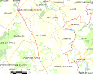
La Celette
- commune in Cher, France
- Country:

- Postal Code: 18360
- Coordinates: 46° 39' 5" N, 2° 31' 16" E


- GPS tracks (wikiloc): [Link]
- Area: 24.81 sq km
- Population: 176


Loye-sur-Arnon
- commune in Cher, France
- Country:

- Postal Code: 18170
- Coordinates: 46° 39' 10" N, 2° 23' 11" E


- GPS tracks (wikiloc): [Link]
- Area: 34.15 sq km
- Population: 312


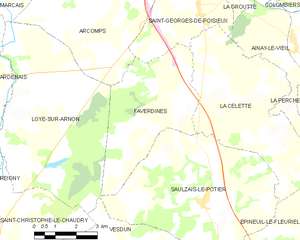
Faverdines
- commune in Cher, France
- Country:

- Postal Code: 18360
- Coordinates: 46° 38' 19" N, 2° 28' 34" E


- GPS tracks (wikiloc): [Link]
- Area: 18.51 sq km
- Population: 147

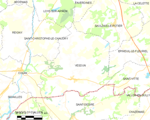
Vesdun
- commune in Cher, France
- Country:

- Postal Code: 18360
- Coordinates: 46° 32' 20" N, 2° 25' 46" E


- GPS tracks (wikiloc): [Link]
- Area: 48.61 sq km
- Population: 586


Épineuil-le-Fleuriel
- commune in Cher, France
- Country:

- Postal Code: 18360
- Coordinates: 46° 33' 32" N, 2° 35' 1" E


- GPS tracks (wikiloc): [Link]
- Area: 41.6 sq km
- Population: 459
