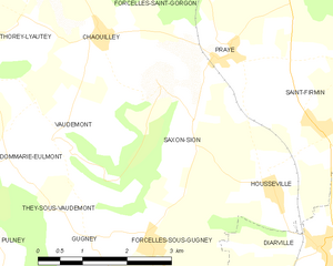
Saxon-Sion (Saxon-Sion)
- commune in Meurthe-et-Moselle, France
- Country:

- Postal Code: 54330
- Coordinates: 48° 25' 33" N, 6° 4' 44" E


- GPS tracks (wikiloc): [Link]
- Area: 6.25 sq km
- Population: 85
- Wikipedia en: wiki(en)
- Wikipedia: wiki(fr)
- Wikidata storage: Wikidata: Q224357
- Wikipedia Commons Category: [Link]
- Freebase ID: [/m/03qdn2h]
- Freebase ID: [/m/03qdn2h]
- GeoNames ID: Alt: [6436858]
- GeoNames ID: Alt: [6436858]
- SIREN number: [215404971]
- SIREN number: [215404971]
- BnF ID: [152645641]
- BnF ID: [152645641]
- VIAF ID: Alt: [245447276]
- VIAF ID: Alt: [245447276]
- OSM relation ID: [2960885]
- OSM relation ID: [2960885]
- PACTOLS thesaurus ID: [pcrtSxteiVLLs3]
- PACTOLS thesaurus ID: [pcrtSxteiVLLs3]
- Digital Atlas of the Roman Empire ID: [6491]
- Digital Atlas of the Roman Empire ID: [6491]
- INSEE municipality code: 54497
- INSEE municipality code: 54497
Shares border with regions:


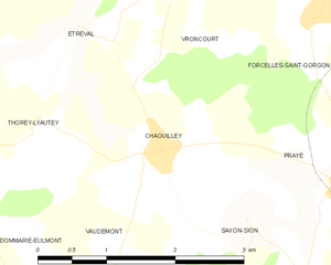
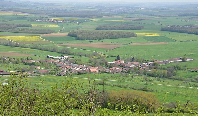
Chaouilley
- commune in Meurthe-et-Moselle, France
- Country:

- Postal Code: 54330
- Coordinates: 48° 26' 21" N, 6° 4' 5" E


- GPS tracks (wikiloc): [Link]
- Area: 5.12 sq km
- Population: 115


Housséville
- commune in Meurthe-et-Moselle, France
- Country:

- Postal Code: 54930
- Coordinates: 48° 24' 22" N, 6° 7' 5" E


- GPS tracks (wikiloc): [Link]
- Area: 5.33 sq km
- Population: 169
They-sous-Vaudemont
- commune in Meurthe-et-Moselle, France
- Country:

- Postal Code: 54930
- Coordinates: 48° 24' 16" N, 6° 3' 34" E


- GPS tracks (wikiloc): [Link]
- Area: 1.7 sq km
- Population: 10


Gugney
- commune in Meurthe-et-Moselle, France
- Country:

- Postal Code: 54930
- Coordinates: 48° 23' 54" N, 6° 3' 44" E


- GPS tracks (wikiloc): [Link]
- Area: 2.93 sq km
- Population: 73


Forcelles-sous-Gugney
- commune in Meurthe-et-Moselle, France
- Country:

- Postal Code: 54930
- Coordinates: 48° 23' 51" N, 6° 4' 41" E


- GPS tracks (wikiloc): [Link]
- AboveSeaLevel: 307 м m
- Area: 5.37 sq km
- Population: 94

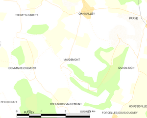
Vaudémont
- commune in Meurthe-et-Moselle, France
- Country:

- Postal Code: 54330
- Coordinates: 48° 25' 1" N, 6° 3' 22" E


- GPS tracks (wikiloc): [Link]
- Area: 5.76 sq km
- Population: 67


Praye
- commune in Meurthe-et-Moselle, France
- Country:

- Postal Code: 54116
- Coordinates: 48° 26' 4" N, 6° 6' 23" E


- GPS tracks (wikiloc): [Link]
- Area: 8.72 sq km
- Population: 274
