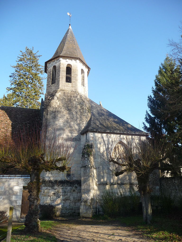
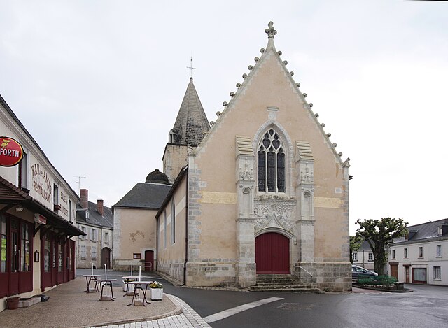
Sennevières (Sennevières)

- commune in Indre-et-Loire, France
- Country:

- Postal Code: 37600
- Coordinates: 47° 6' 22" N, 1° 6' 7" E


- GPS tracks (wikiloc): [Link]
- Area: 23.54 sq km
- Population: 213
- Wikipedia en: wiki(en)
- Wikipedia: wiki(fr)
- Wikidata storage: Wikidata: Q1136323
- Wikipedia Commons Category: [Link]
- Freebase ID: [/m/03nvcvz]
- GeoNames ID: Alt: [6433132]
- SIREN number: [213702467]
- BnF ID: [152577941]
- TGN ID: [4010319]
- Digital Atlas of the Roman Empire ID: [16301]
- INSEE municipality code: 37246
Shares border with regions:


Chemillé-sur-Indrois
- commune in Indre-et-Loire, France
- Country:
- Postal Code: 37460
- Coordinates: 47° 9' 40" N, 1° 9' 57" E
- GPS tracks (wikiloc): [Link]
- Area: 24.87 sq km
- Population: 209
- Web site: [Link]


Ferrière-sur-Beaulieu
- commune in Indre-et-Loire, France
- Country:
- Postal Code: 37600
- Coordinates: 47° 8' 16" N, 1° 2' 15" E
- GPS tracks (wikiloc): [Link]
- Area: 19.63 sq km
- Population: 738
- Web site: [Link]


Perrusson
- commune in Indre-et-Loire, France
- Country:
- Postal Code: 37600
- Coordinates: 47° 6' 0" N, 1° 0' 47" E
- GPS tracks (wikiloc): [Link]
- Area: 28.94 sq km
- Population: 1521
- Web site: [Link]


Saint-Hippolyte
- commune in Indre-et-Loire, France
- Country:
- Postal Code: 37600
- Coordinates: 47° 3' 36" N, 1° 6' 0" E
- GPS tracks (wikiloc): [Link]
- Area: 32.99 sq km
- Population: 635

Saint-Jean-Saint-Germain
- commune in Indre-et-Loire, France
- Country:
- Postal Code: 37600
- Coordinates: 47° 4' 58" N, 1° 2' 6" E
- GPS tracks (wikiloc): [Link]
- Area: 21.34 sq km
- Population: 751


Loché-sur-Indrois
- commune in Indre-et-Loire, France
- Country:
- Postal Code: 37460
- Coordinates: 47° 5' 32" N, 1° 13' 9" E
- GPS tracks (wikiloc): [Link]
- Area: 74.13 sq km
- Population: 561

Genillé
- commune in Indre-et-Loire, France
- Country:
- Postal Code: 37460
- Coordinates: 47° 11' 8" N, 1° 5' 43" E
- GPS tracks (wikiloc): [Link]
- Area: 63.12 sq km
- Population: 1534
- Web site: [Link]