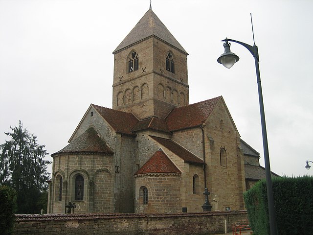
Senonges (Senonges)
- commune in Vosges, France
- Country:

- Postal Code: 88260
- Coordinates: 48° 8' 48" N, 6° 3' 43" E


- GPS tracks (wikiloc): [Link]
- Area: 5.84 sq km
- Population: 122
- Wikipedia en: wiki(en)
- Wikipedia: wiki(fr)
- Wikidata storage: Wikidata: Q188981
- Wikipedia Commons Category: [Link]
- Freebase ID: [/m/03qh73d]
- Freebase ID: [/m/03qh73d]
- GeoNames ID: Alt: [6445752]
- GeoNames ID: Alt: [6445752]
- SIREN number: [218804524]
- SIREN number: [218804524]
- BnF ID: [152793715]
- BnF ID: [152793715]
- INSEE municipality code: 88452
- INSEE municipality code: 88452
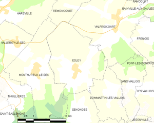
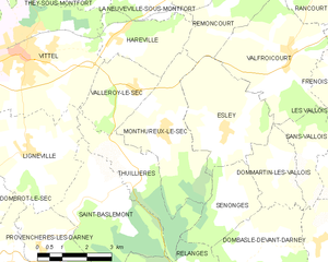
Shares border with regions:


Dommartin-lès-Vallois
- commune in Vosges, France
- Country:

- Postal Code: 88260
- Coordinates: 48° 9' 20" N, 6° 5' 11" E


- GPS tracks (wikiloc): [Link]
- Area: 4.93 sq km
- Population: 59


Dombasle-devant-Darney
- commune in Vosges, France
- Country:

- Postal Code: 88260
- Coordinates: 48° 7' 37" N, 6° 4' 36" E


- GPS tracks (wikiloc): [Link]
- Area: 8.73 sq km
- Population: 82


Esley
- commune in Vosges, France
- Country:

- Postal Code: 88260
- Coordinates: 48° 10' 10" N, 6° 3' 28" E


- GPS tracks (wikiloc): [Link]
- Area: 11 sq km
- Population: 182


Monthureux-le-Sec
- commune in Vosges, France
- Country:

- Postal Code: 88800
- Coordinates: 48° 10' 17" N, 6° 1' 32" E


- GPS tracks (wikiloc): [Link]
- Area: 11.36 sq km
- Population: 162


Thuillières
- commune in Vosges, France
- Country:

- Postal Code: 88260
- Coordinates: 48° 9' 18" N, 6° 0' 39" E


- GPS tracks (wikiloc): [Link]
- Area: 7.62 sq km
- Population: 126


Relanges
- commune in Vosges, France
- Country:

- Postal Code: 88260
- Coordinates: 48° 6' 46" N, 6° 0' 57" E


- GPS tracks (wikiloc): [Link]
- Area: 13.87 sq km
- Population: 212
