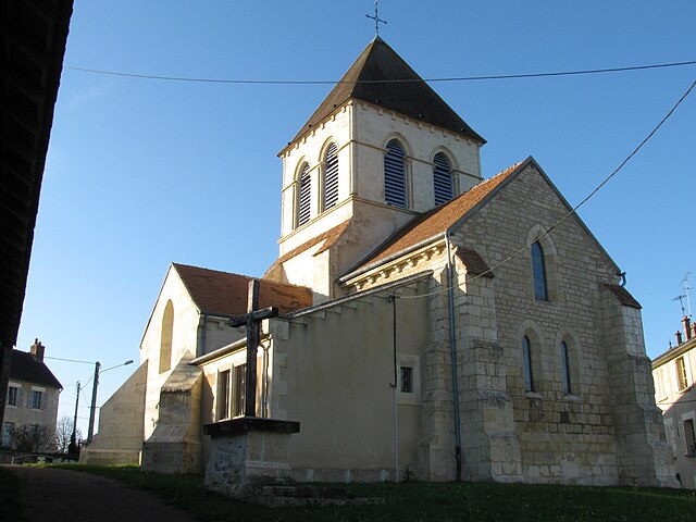
Sermoise-sur-Loire (Sermoise-sur-Loire)

- commune in Nièvre, France
- Country:

- Postal Code: 58000
- Coordinates: 46° 57' 6" N, 3° 11' 6" E


- GPS tracks (wikiloc): [Link]
- AboveSeaLevel: 215 м m
- Area: 24.88 sq km
- Population: 1566
- Web site: http://www.sermoise-sur-loire.com
- Wikipedia en: wiki(en)
- Wikipedia: wiki(fr)
- Wikidata storage: Wikidata: Q33834
- Wikipedia Commons Category: [Link]
- Freebase ID: [/m/03qffyc]
- GeoNames ID: Alt: [6617179]
- SIREN number: [215802786]
- BnF ID: [15266543j]
- INSEE municipality code: 58278
Shares border with regions:

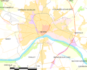
Nevers
- commune in Nièvre, France
- Country:
- Postal Code: 58000
- Coordinates: 46° 59' 33" N, 3° 9' 24" E
- GPS tracks (wikiloc): [Link]
- AboveSeaLevel: 180 м m
- Area: 17.33 sq km
- Population: 34228
- Web site: [Link]
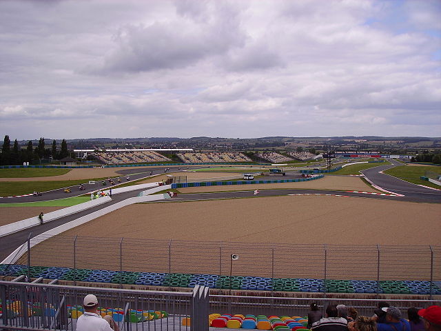

Magny-Cours
- commune in Nièvre, France
- Country:
- Postal Code: 58470
- Coordinates: 46° 53' 4" N, 3° 9' 0" E
- GPS tracks (wikiloc): [Link]
- Area: 31.87 sq km
- Population: 1414


Saint-Éloi
- commune in Nièvre, France
- Country:
- Postal Code: 58000
- Coordinates: 46° 58' 51" N, 3° 13' 12" E
- GPS tracks (wikiloc): [Link]
- Area: 16.45 sq km
- Population: 2139
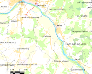
Chevenon
- commune in Nièvre, France
- Country:
- Postal Code: 58160
- Coordinates: 46° 55' 15" N, 3° 13' 48" E
- GPS tracks (wikiloc): [Link]
- Area: 32.94 sq km
- Population: 576

Challuy
- commune in Nièvre, France
- Country:
- Postal Code: 58000
- Coordinates: 46° 57' 1" N, 3° 8' 54" E
- GPS tracks (wikiloc): [Link]
- Area: 18.89 sq km
- Population: 1540
- Web site: [Link]