Soufflenheim (Soufflenheim)

- commune in Bas-Rhin, France
- Country:

- Postal Code: 67620
- Coordinates: 48° 49' 47" N, 7° 57' 47" E


- GPS tracks (wikiloc): [Link]
- AboveSeaLevel: 138 м m
- Area: 13.24 sq km
- Population: 4943
- Web site: http://www.mairie-soufflenheim.fr
- Wikipedia en: wiki(en)
- Wikipedia: wiki(fr)
- Wikidata storage: Wikidata: Q22437
- Wikipedia Commons Category: [Link]
- Freebase ID: [/m/081_8r]
- Freebase ID: [/m/081_8r]
- GeoNames ID: Alt: [2974086]
- GeoNames ID: Alt: [2974086]
- SIREN number: [216704726]
- SIREN number: [216704726]
- BnF ID: [152716147]
- BnF ID: [152716147]
- VIAF ID: Alt: [148903709]
- VIAF ID: Alt: [148903709]
- GND ID: Alt: [4118736-2]
- GND ID: Alt: [4118736-2]
- Library of Congress authority ID: Alt: [n78058194]
- Library of Congress authority ID: Alt: [n78058194]
- PACTOLS thesaurus ID: [pcrtsYjQWGagpT]
- PACTOLS thesaurus ID: [pcrtsYjQWGagpT]
- MusicBrainz area ID: [b75aa8aa-fb39-4d40-8bdb-e56bf185e2ef]
- MusicBrainz area ID: [b75aa8aa-fb39-4d40-8bdb-e56bf185e2ef]
- WOEID: [622518]
- WOEID: [622518]
- INSEE municipality code: 67472
- INSEE municipality code: 67472
Shares border with regions:

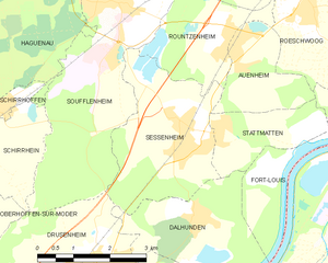
Sessenheim
- commune in Bas-Rhin, France
- Country:
- Postal Code: 67770
- Coordinates: 48° 47' 49" N, 7° 59' 11" E
- GPS tracks (wikiloc): [Link]
- Area: 9.18 sq km
- Population: 2270
- Web site: [Link]


Rountzenheim
- commune in Bas-Rhin, France
- Country:
- Postal Code: 67480
- Coordinates: 48° 49' 9" N, 8° 0' 23" E
- GPS tracks (wikiloc): [Link]
- Area: 6.67 sq km
- Population: 1043
- Web site: [Link]

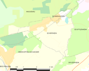
Schirrhein
- commune in Bas-Rhin, France
- Country:
- Postal Code: 67240
- Coordinates: 48° 48' 5" N, 7° 54' 22" E
- GPS tracks (wikiloc): [Link]
- Area: 6.49 sq km
- Population: 2207


Haguenau
- commune in Bas-Rhin, France
- Country:
- Postal Code: 67500
- Coordinates: 48° 49' 0" N, 7° 47' 16" E
- GPS tracks (wikiloc): [Link]
- AboveSeaLevel: 150 м m
- Area: 182.59 sq km
- Population: 34846
- Web site: [Link]


Drusenheim
- commune in Bas-Rhin, France
- Country:
- Postal Code: 67410
- Coordinates: 48° 45' 43" N, 7° 57' 6" E
- GPS tracks (wikiloc): [Link]
- Area: 15.73 sq km
- Population: 5102
- Web site: [Link]