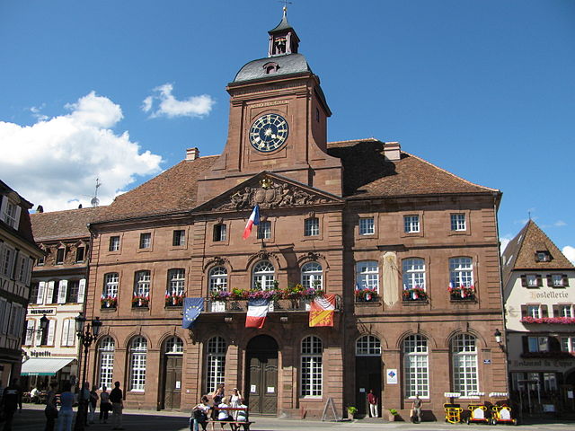
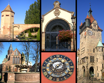
arrondissement of Haguenau-Wissembourg (arrondissement de Haguenau-Wissembourg)
- arrondissement of France
- Country:

- Capital: Haguenau
- Coordinates: 48° 49' 0" N, 7° 47' 0" E


- GPS tracks (wikiloc): [Link]
- Population: 240515
- Wikipedia en: wiki(en)
- Wikipedia: wiki(fr)
- Wikidata storage: Wikidata: Q701286
- Freebase ID: [/m/0956rw]
- INSEE arrondissement code: [672]
Includes regions:


canton of Wissembourg
- canton of France
- Country:

- Capital: Wissembourg
- Coordinates: 49° 1' 12" N, 7° 57' 0" E


- GPS tracks (wikiloc): [Link]
- Population: 50809

Canton of Wœrth
- canton of France (until March 2015)
- Country:

- Capital: Wœrth
- Coordinates: 48° 55' 14" N, 7° 45' 33" E


- GPS tracks (wikiloc): [Link]
- Area: 100.93 sq km

canton of Niederbronn-les-Bains
- canton of France (until March 2015)
- Country:

- Capital: Niederbronn-les-Bains
- Coordinates: 48° 54' 19" N, 7° 37' 21" E


- GPS tracks (wikiloc): [Link]
- Area: 210.32 sq km
- Population: 27928


canton of Soultz-sous-Forêts
- canton of France (until March 2015)
- Country:

- Capital: Soultz-sous-Forêts
- Coordinates: 48° 56' 16" N, 7° 53' 3" E


- GPS tracks (wikiloc): [Link]


canton of Bischwiller
- canton of France
- Country:

- Capital: Bischwiller
- Coordinates: 48° 47' 57" N, 7° 58' 28" E


- GPS tracks (wikiloc): [Link]
- Population: 51793


canton of Haguenau
- canton of France
- Country:

- Capital: Haguenau
- Coordinates: 48° 47' 47" N, 7° 42' 16" E


- GPS tracks (wikiloc): [Link]
- Population: 49406

canton of Lauterbourg
- canton of France (until March 2015)
- Country:

- Capital: Lauterbourg
- Coordinates: 48° 58' 21" N, 8° 7' 26" E


- GPS tracks (wikiloc): [Link]

