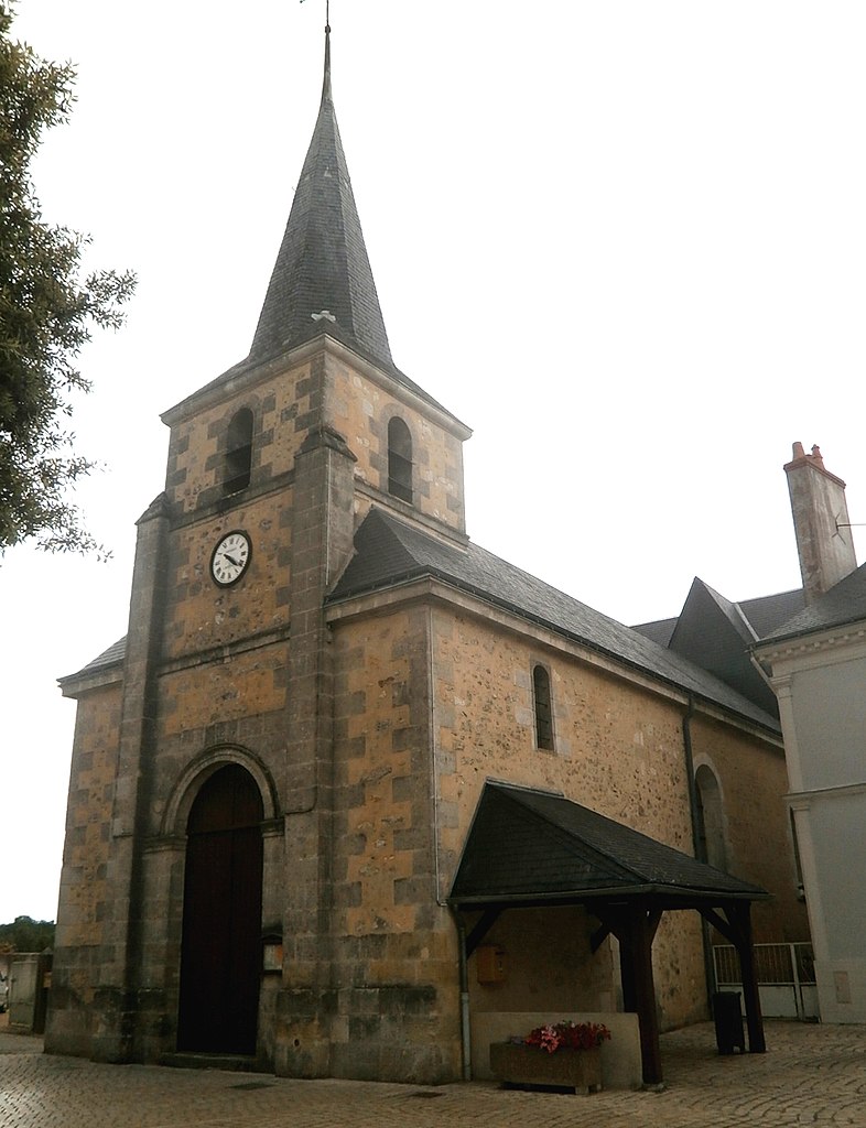
Souvigné (Souvigné)

- commune in Indre-et-Loire, France
- Country:

- Postal Code: 37330
- Coordinates: 47° 31' 15" N, 0° 23' 54" E


- GPS tracks (wikiloc): [Link]
- Area: 24.41 sq km
- Population: 833
- Wikipedia en: wiki(en)
- Wikipedia: wiki(fr)
- Wikidata storage: Wikidata: Q389585
- Wikipedia Commons Category: [Link]
- Freebase ID: [/m/03nw65r]
- GeoNames ID: Alt: [6433136]
- SIREN number: [213702517]
- BnF ID: [15257799r]
- INSEE municipality code: 37251
Shares border with regions:


Cléré-les-Pins
- commune in Indre-et-Loire, France
- Country:
- Postal Code: 37340
- Coordinates: 47° 25' 31" N, 0° 23' 27" E
- GPS tracks (wikiloc): [Link]
- Area: 35.62 sq km
- Population: 1423
- Web site: [Link]


Brèches
- commune in Indre-et-Loire, France
- Country:
- Postal Code: 37330
- Coordinates: 47° 34' 11" N, 0° 23' 19" E
- GPS tracks (wikiloc): [Link]
- Area: 11.63 sq km
- Population: 301

Ambillou
- commune in Indre-et-Loire, France
- Country:
- Postal Code: 37340
- Coordinates: 47° 27' 5" N, 0° 26' 51" E
- GPS tracks (wikiloc): [Link]
- Area: 48.85 sq km
- Population: 1846


Couesmes
- commune in Indre-et-Loire, France
- Country:
- Postal Code: 37330
- Coordinates: 47° 33' 50" N, 0° 20' 30" E
- GPS tracks (wikiloc): [Link]
- Area: 19.12 sq km
- Population: 481
- Web site: [Link]


Sonzay
- commune in Indre-et-Loire, France
- Country:
- Postal Code: 37360
- Coordinates: 47° 31' 38" N, 0° 27' 44" E
- GPS tracks (wikiloc): [Link]
- Area: 48.34 sq km
- Population: 1403


Courcelles-de-Touraine
- commune in Indre-et-Loire, France
- Country:
- Postal Code: 37330
- Coordinates: 47° 28' 56" N, 0° 18' 30" E
- GPS tracks (wikiloc): [Link]
- Area: 25.71 sq km
- Population: 506


Château-la-Vallière
- commune in Indre-et-Loire, France
- Country:
- Postal Code: 37330
- Coordinates: 47° 32' 49" N, 0° 19' 30" E
- GPS tracks (wikiloc): [Link]
- Area: 21.94 sq km
- Population: 1768
- Web site: [Link]