Ternay (Ternay)

- commune in Loir-et-Cher, France
- Country:

- Postal Code: 41800
- Coordinates: 47° 43' 48" N, 0° 46' 45" E


- GPS tracks (wikiloc): [Link]
- Area: 14.38 sq km
- Population: 341
- Wikipedia en: wiki(en)
- Wikipedia: wiki(fr)
- Wikidata storage: Wikidata: Q1169896
- Wikipedia Commons Category: [Link]
- Freebase ID: [/m/03nw2sl]
- GeoNames ID: Alt: [6434141]
- SIREN number: [214102550]
- BnF ID: [15259529h]
- VIAF ID: Alt: [286144783006737367950]
- INSEE municipality code: 41255
Shares border with regions:

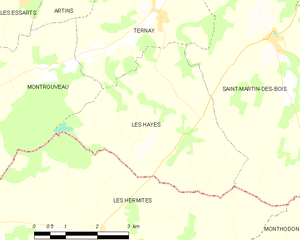
Les Hayes
- commune in Loir-et-Cher, France
- Country:
- Postal Code: 41800
- Coordinates: 47° 42' 55" N, 0° 46' 37" E
- GPS tracks (wikiloc): [Link]
- AboveSeaLevel: 144 м m
- Area: 15.71 sq km
- Population: 181


Saint-Martin-des-Bois
- commune in Loir-et-Cher, France
- Country:
- Postal Code: 41800
- Coordinates: 47° 43' 21" N, 0° 49' 38" E
- GPS tracks (wikiloc): [Link]
- Area: 36.4 sq km
- Population: 601
Montrouveau
- commune in Loir-et-Cher, France
- Country:
- Postal Code: 41800
- Coordinates: 47° 42' 52" N, 0° 43' 44" E
- GPS tracks (wikiloc): [Link]
- Area: 17.7 sq km
- Population: 150


Saint-Jacques-des-Guérets
- commune in Loir-et-Cher, France
- Country:
- Postal Code: 41800
- Coordinates: 47° 46' 28" N, 0° 47' 36" E
- GPS tracks (wikiloc): [Link]
- Area: 1.81 sq km
- Population: 89
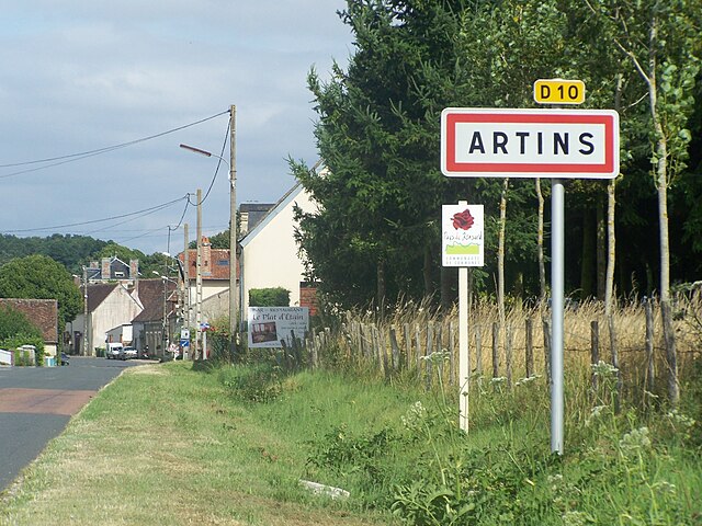

Artins
- commune in Loir-et-Cher, France
- Country:
- Postal Code: 41800
- Coordinates: 47° 44' 42" N, 0° 44' 23" E
- GPS tracks (wikiloc): [Link]
- Area: 11.72 sq km
- Population: 265