Val-de-Chalvagne (Val-de-Chalvagne)
- commune in Alpes-de-Haute-Provence, France
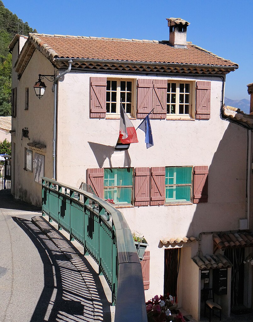
 Hiking in Val-de-Chalvagne
Val-de-Chalvagne, located in the Alpes-de-Haute-Provence region of France, offers a variety of beautiful hiking opportunities. The area is characterized by stunning natural landscapes, including scenic valleys, mountains, and rivers, making it a great destination for outdoor enthusiasts.
Here are some highlights of hiking in Val-de-Chalvagne:
-
Diverse Trails: The region features trails suitable for all levels of hikers, from easy walks to challenging hikes. You can find routes that meander through picturesque villages, as well as more rugged paths that take you deeper into the wilderness.
-
Stunning Views: Hikers are rewarded with breathtaking views throughout the trails. The diverse topography ensures that you’ll encounter panoramic vistas of the surrounding mountains, valleys, and local flora and fauna.
-
Flora and Fauna: The Val-de-Chalvagne area is rich in biodiversity, with many endemic species of plants and wildlife. Keep your eyes peeled for local wildlife, and consider bringing a camera to capture the beauty of the landscape.
-
Historical Sites: Some hiking routes may lead to historical sites and charming villages, adding cultural elements to your adventure. You'll have the chance to explore local heritage and perhaps sample regional food and wines.
-
Seasonal Considerations: The best times to hike in the region are typically spring (April to June) and fall (September to October) when the weather is mild, and the landscapes are vibrant. However, summer hikes can be enjoyable too, but it's important to stay hydrated and protected from the sun.
-
Local Guides: If you prefer a guided experience, there are local hiking instructors and tour companies that offer various packages tailored to different hiking abilities and interests.
-
Accessibility: Ensure to check the accessibility of the trails, as some may require prior knowledge and experience, especially in more rugged terrain.
Tips for Hiking in Val-de-Chalvagne:
- Gear Up: Wear sturdy hiking boots and dress in layers to accommodate changing weather conditions.
- Bring Supplies: Carry enough water, snacks, a map or GPS device, and a first aid kit.
- Follow Local Guidelines: Stay on designated trails to preserve the environment and respect local wildlife.
- Safety First: Always let someone know your hiking plans and carry a fully charged phone for emergencies.
Enjoy your hiking adventures in Val-de-Chalvagne, where natural beauty and a sense of tranquility await!
- Country:

- Postal Code: 04320
- Coordinates: 43° 54' 51" N, 6° 48' 28" E


- GPS tracks (wikiloc): [Link]
- AboveSeaLevel: 900 м m
- Area: 32.57 sq km
- Population: 88
- Web site: http://www.val-de-chalvagne.fr
- Wikipedia en: wiki(en)
- Wikipedia: wiki(fr)
- Wikidata storage: Wikidata: Q1018608
- Wikipedia Commons Category: [Link]
- Freebase ID: [/m/03m7xvy]
- Freebase ID: [/m/03m7xvy]
- GeoNames ID: Alt: [3028372]
- GeoNames ID: Alt: [3028372]
- SIREN number: [210400438]
- SIREN number: [210400438]
- PACTOLS thesaurus ID: [pcrtQIczHsEDWx]
- PACTOLS thesaurus ID: [pcrtQIczHsEDWx]
- INSEE municipality code: 04043
- INSEE municipality code: 04043
Shares border with regions:

Ubraye
- commune in Alpes-de-Haute-Provence, France
Hiking in Ubraye
Ubraye is a charming village located in the Alpes-de-Haute-Provence region of France, known for its stunning landscapes, rugged terrain, and beautiful trails. It offers a variety of hiking opportunities suitable for different skill levels and interests. Here’s an overview of what to expect when hiking in Ubraye:...
- Country:
- Postal Code: 04240
- Coordinates: 43° 54' 31" N, 6° 41' 49" E
- GPS tracks (wikiloc): [Link]
- Area: 35.65 sq km
- Population: 88

La Rochette
- commune in Alpes-de-Haute-Provence, France
Hiking in La Rochette
La Rochette is a quaint village located in the Alpes-de-Haute-Provence region of southeastern France. It is surrounded by stunning natural landscapes, making it a great destination for hiking enthusiasts....
- Country:
- Postal Code: 06260
- Coordinates: 43° 54' 54" N, 6° 53' 26" E
- GPS tracks (wikiloc): [Link]
- Area: 18.8 sq km
- Population: 66

Amirat
- commune in Alpes-Maritimes, France
Hiking in Amirat
Amirat, located near Muscat in Oman, is a great destination for hiking enthusiasts. The region is characterized by its stunning mountainous landscapes, traditional Omani villages, and a rich culture. Here are some highlights and tips for hiking in Amirat:...
- Country:
- Postal Code: 06910
- Coordinates: 43° 53' 26" N, 6° 49' 27" E
- GPS tracks (wikiloc): [Link]
- Area: 12.95 sq km
- Population: 74
- Web site: [Link]

Entrevaux
- commune in Alpes-de-Haute-Provence, France
Hiking in Entrevaux
Entrevaux, a picturesque medieval village situated in the Alpes-de-Haute-Provence region of France, offers a unique hiking experience characterized by stunning landscapes, rich history, and well-marked trails. Here are some details about hiking in and around Entrevaux:...
- Country:
- Postal Code: 04320
- Coordinates: 43° 56' 55" N, 6° 48' 37" E
- GPS tracks (wikiloc): [Link]
- Area: 60.37 sq km
- Population: 877
- Web site: [Link]


Briançonnet
- commune in Alpes-Maritimes, France
Hiking in Briançonnet
Briançonnet is a picturesque village located in the Alpes-Maritimes region of France, known for its stunning natural scenery and diverse hiking opportunities. Nestled in the foothills of the Alps, Briançonnet offers a range of trails that cater to different skill levels, making it an excellent destination for both beginner and experienced hikers....
- Country:
- Postal Code: 06850
- Coordinates: 43° 51' 55" N, 6° 45' 28" E
- GPS tracks (wikiloc): [Link]
- Area: 24.32 sq km
- Population: 226