Vauclaix (Vauclaix)

- commune in Nièvre, France
- Country:

- Postal Code: 58140
- Coordinates: 47° 13' 56" N, 3° 49' 25" E


- GPS tracks (wikiloc): [Link]
- Area: 14.39 sq km
- Population: 130
- Wikipedia en: wiki(en)
- Wikipedia: wiki(fr)
- Wikidata storage: Wikidata: Q28533
- Wikipedia Commons Category: [Link]
- Freebase ID: [/m/03qfg6_]
- GeoNames ID: Alt: [6438118]
- SIREN number: [215803057]
- BnF ID: [15266570f]
- INSEE municipality code: 58305
Shares border with regions:
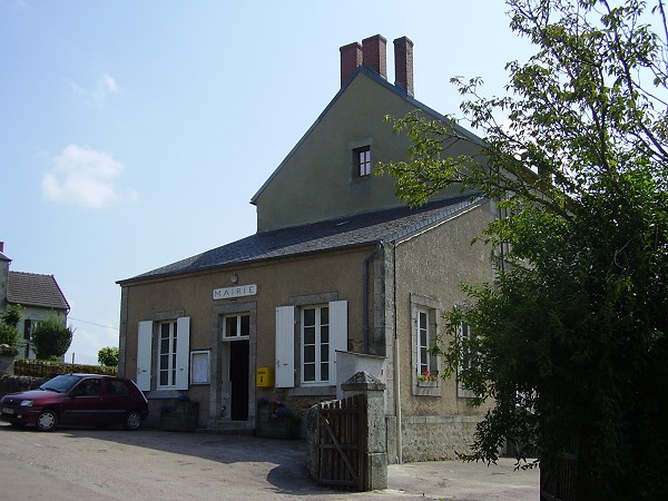
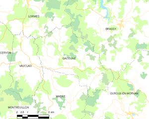
Gâcogne
- commune in Nièvre, France
- Country:
- Postal Code: 58140
- Coordinates: 47° 13' 47" N, 3° 52' 12" E
- GPS tracks (wikiloc): [Link]
- Area: 25.21 sq km
- Population: 252


Mhère
- commune in Nièvre, France
- Country:
- Postal Code: 58140
- Coordinates: 47° 12' 26" N, 3° 51' 21" E
- GPS tracks (wikiloc): [Link]
- Area: 25.25 sq km
- Population: 234
- Web site: [Link]


Cervon
- commune in Nièvre, France
- Country:
- Postal Code: 58800
- Coordinates: 47° 14' 27" N, 3° 45' 20" E
- GPS tracks (wikiloc): [Link]
- Area: 54.06 sq km
- Population: 632


Lormes
- commune in Nièvre, France
- Country:
- Postal Code: 58140
- Coordinates: 47° 17' 24" N, 3° 49' 3" E
- GPS tracks (wikiloc): [Link]
- Area: 51.71 sq km
- Population: 1297
- Web site: [Link]


Montreuillon
- commune in Nièvre, France
- Country:
- Postal Code: 58800
- Coordinates: 47° 10' 27" N, 3° 47' 17" E
- GPS tracks (wikiloc): [Link]
- Area: 35.55 sq km
- Population: 276