Vauvillers (Vauvillers)

- commune in Somme, France
- Country:

- Postal Code: 80131
- Coordinates: 49° 50' 56" N, 2° 42' 15" E


- GPS tracks (wikiloc): [Link]
- Area: 6.22 sq km
- Population: 260
- Wikipedia en: wiki(en)
- Wikipedia: wiki(fr)
- Wikidata storage: Wikidata: Q861112
- Wikipedia Commons Category: [Link]
- Freebase ID: [/m/03qmsk2]
- GeoNames ID: Alt: [6444783]
- SIREN number: [218007326]
- BnF ID: [152772524]
- INSEE municipality code: 80781
Shares border with regions:


Rosières-en-Santerre
- commune in Somme, France
- Country:
- Postal Code: 80170
- Coordinates: 49° 48' 51" N, 2° 42' 10" E
- GPS tracks (wikiloc): [Link]
- Area: 12.98 sq km
- Population: 3007
- Web site: [Link]


Lihons
- commune in Somme, France
- Country:
- Postal Code: 80320
- Coordinates: 49° 49' 27" N, 2° 45' 58" E
- GPS tracks (wikiloc): [Link]
- Area: 12.42 sq km
- Population: 423
- Web site: [Link]


Framerville-Rainecourt
- commune in Somme, France
- Country:
- Postal Code: 80131
- Coordinates: 49° 51' 38" N, 2° 42' 47" E
- GPS tracks (wikiloc): [Link]
- AboveSeaLevel: 100 м m
- Area: 9.91 sq km
- Population: 468
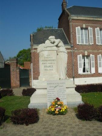

Harbonnières
- commune in Somme, France
- Country:
- Postal Code: 80131
- Coordinates: 49° 50' 56" N, 2° 40' 11" E
- GPS tracks (wikiloc): [Link]
- Area: 15.37 sq km
- Population: 1648