Velles (Velles)

- commune in Indre, France
- Country:

- Postal Code: 36330
- Coordinates: 46° 41' 17" N, 1° 38' 57" E


- GPS tracks (wikiloc): [Link]
- Area: 63.09 sq km
- Population: 994
- Web site: http://www.velles.fr
- Wikipedia en: wiki(en)
- Wikipedia: wiki(fr)
- Wikidata storage: Wikidata: Q666657
- Wikipedia Commons Category: [Link]
- Freebase ID: [/m/03nw5s4]
- GeoNames ID: Alt: [6433002]
- SIREN number: [213602311]
- BnF ID: [15257535z]
- PACTOLS thesaurus ID: [pcrtOxyXsz0Aah]
- INSEE municipality code: 36231
Shares border with regions:


Le Poinçonnet
- commune in Indre, France
- Country:
- Postal Code: 36330
- Coordinates: 46° 45' 50" N, 1° 43' 8" E
- GPS tracks (wikiloc): [Link]
- Area: 45 sq km
- Population: 5890
- Web site: [Link]

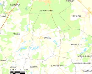
Arthon
- commune in Indre, France
- Country:
- Postal Code: 36330
- Coordinates: 46° 41' 37" N, 1° 41' 58" E
- GPS tracks (wikiloc): [Link]
- Area: 46.8 sq km
- Population: 1241


Saint-Maur
- former commune in Indre, France
- Country:
- Postal Code: 36250
- Coordinates: 46° 48' 23" N, 1° 38' 22" E
- GPS tracks (wikiloc): [Link]
- Area: 70.31 sq km
- Population: 3112
- Web site: [Link]


Mosnay
- commune in Indre, France
- Country:
- Postal Code: 36200
- Coordinates: 46° 37' 19" N, 1° 37' 47" E
- GPS tracks (wikiloc): [Link]
- Area: 25.28 sq km
- Population: 481


Luant
- commune in Indre, France
- Country:
- Postal Code: 36350
- Coordinates: 46° 43' 59" N, 1° 33' 31" E
- GPS tracks (wikiloc): [Link]
- Area: 31.06 sq km
- Population: 1471
- Web site: [Link]

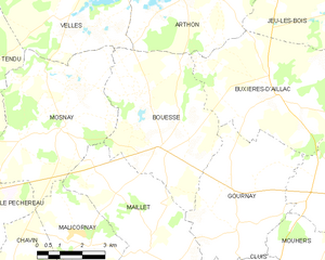
Bouesse
- commune in Indre, France
- Country:
- Postal Code: 36200
- Coordinates: 46° 36' 59" N, 1° 41' 16" E
- GPS tracks (wikiloc): [Link]
- Area: 24.19 sq km
- Population: 422


Tendu
- commune in Indre, France
- Country:
- Postal Code: 36200
- Coordinates: 46° 38' 39" N, 1° 33' 29" E
- GPS tracks (wikiloc): [Link]
- Area: 42.17 sq km
- Population: 648
- Web site: [Link]