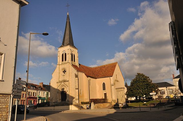
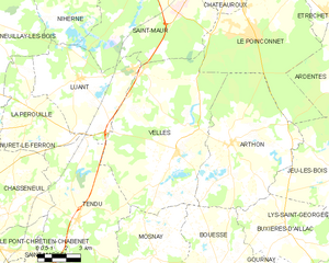
Le Poinçonnet (Le Poinçonnet)

- commune in Indre, France
- Country:

- Postal Code: 36330
- Coordinates: 46° 45' 50" N, 1° 43' 8" E


- GPS tracks (wikiloc): [Link]
- Area: 45 sq km
- Population: 5890
- Web site: http://www.ville-lepoinconnet.fr
- Wikipedia en: wiki(en)
- Wikipedia: wiki(fr)
- Wikidata storage: Wikidata: Q1061591
- Wikipedia Commons Category: [Link]
- Freebase ID: [/m/03nvbz2]
- GeoNames ID: Alt: [3002626]
- SIREN number: [213601594]
- BnF ID: [15257463x]
- PACTOLS thesaurus ID: [pcrtFon0AY614i]
- INSEE municipality code: 36159
Shares border with regions:
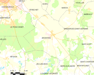
Ardentes
- commune in Indre, France
- Country:
- Postal Code: 36120
- Coordinates: 46° 44' 32" N, 1° 49' 51" E
- GPS tracks (wikiloc): [Link]
- Area: 62.09 sq km
- Population: 3872
- Web site: [Link]


Étrechet
- commune in Indre, France
- Country:
- Postal Code: 36120
- Coordinates: 46° 46' 43" N, 1° 47' 5" E
- GPS tracks (wikiloc): [Link]
- Area: 17.89 sq km
- Population: 955
- Web site: [Link]

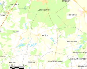
Arthon
- commune in Indre, France
- Country:
- Postal Code: 36330
- Coordinates: 46° 41' 37" N, 1° 41' 58" E
- GPS tracks (wikiloc): [Link]
- Area: 46.8 sq km
- Population: 1241


Saint-Maur
- former commune in Indre, France
- Country:
- Postal Code: 36250
- Coordinates: 46° 48' 23" N, 1° 38' 22" E
- GPS tracks (wikiloc): [Link]
- Area: 70.31 sq km
- Population: 3112
- Web site: [Link]


Châteauroux
- commune in Indre, France
- Country:
- Postal Code: 36000
- Coordinates: 46° 48' 35" N, 1° 41' 25" E
- GPS tracks (wikiloc): [Link]
- Area: 25.54 sq km
- Population: 43732
- Web site: [Link]

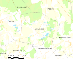
Jeu-les-Bois
- commune in Indre, France
- Country:
- Postal Code: 36120
- Coordinates: 46° 40' 24" N, 1° 47' 42" E
- GPS tracks (wikiloc): [Link]
- Area: 38.32 sq km
- Population: 389

Velles
- commune in Indre, France
- Country:
- Postal Code: 36330
- Coordinates: 46° 41' 17" N, 1° 38' 57" E
- GPS tracks (wikiloc): [Link]
- Area: 63.09 sq km
- Population: 994
- Web site: [Link]