canton of Ardentes (canton d'Ardentes)

- canton of France
- Country:

- Capital: Ardentes
- Coordinates: 46° 44' 35" N, 1° 49' 54" E


- GPS tracks (wikiloc): [Link]
- Population: 17422
- Wikipedia en: wiki(en)
- Wikipedia: wiki(fr)
- Wikidata storage: Wikidata: Q890412
- INSEE canton code: [3601]
Includes regions:
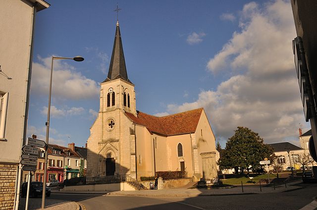
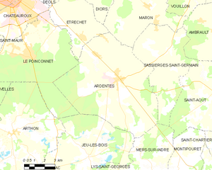
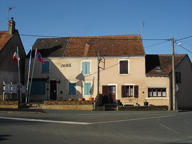
Ardentes
- commune in Indre, France
- Country:
- Postal Code: 36120
- Coordinates: 46° 44' 32" N, 1° 49' 51" E
- GPS tracks (wikiloc): [Link]
- Area: 62.09 sq km
- Population: 3872
- Web site: [Link]


Étrechet
- commune in Indre, France
- Country:
- Postal Code: 36120
- Coordinates: 46° 46' 43" N, 1° 47' 5" E
- GPS tracks (wikiloc): [Link]
- Area: 17.89 sq km
- Population: 955
- Web site: [Link]


Le Poinçonnet
- commune in Indre, France
- Country:
- Postal Code: 36330
- Coordinates: 46° 45' 50" N, 1° 43' 8" E
- GPS tracks (wikiloc): [Link]
- Area: 45 sq km
- Population: 5890
- Web site: [Link]


Buxières-d'Aillac
- commune in Indre, France
- Country:
- Postal Code: 36230
- Coordinates: 46° 38' 18" N, 1° 45' 9" E
- GPS tracks (wikiloc): [Link]
- Area: 25.75 sq km
- Population: 259
- Web site: [Link]

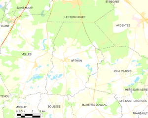
Arthon
- commune in Indre, France
- Country:
- Postal Code: 36330
- Coordinates: 46° 41' 37" N, 1° 41' 58" E
- GPS tracks (wikiloc): [Link]
- Area: 46.8 sq km
- Population: 1241


La Pérouille
- commune in Indre, France
- Country:
- Postal Code: 36350
- Coordinates: 46° 42' 13" N, 1° 30' 56" E
- GPS tracks (wikiloc): [Link]
- Area: 21.54 sq km
- Population: 458

Sassierges-Saint-Germain
- commune in Indre, France
- Country:
- Postal Code: 36120
- Coordinates: 46° 46' 9" N, 1° 53' 39" E
- GPS tracks (wikiloc): [Link]
- Area: 31.72 sq km
- Population: 490
- Web site: [Link]


Luant
- commune in Indre, France
- Country:
- Postal Code: 36350
- Coordinates: 46° 43' 59" N, 1° 33' 31" E
- GPS tracks (wikiloc): [Link]
- Area: 31.06 sq km
- Population: 1471
- Web site: [Link]

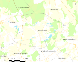
Jeu-les-Bois
- commune in Indre, France
- Country:
- Postal Code: 36120
- Coordinates: 46° 40' 24" N, 1° 47' 42" E
- GPS tracks (wikiloc): [Link]
- Area: 38.32 sq km
- Population: 389

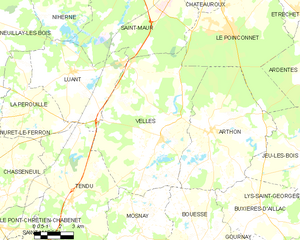
Velles
- commune in Indre, France
- Country:
- Postal Code: 36330
- Coordinates: 46° 41' 17" N, 1° 38' 57" E
- GPS tracks (wikiloc): [Link]
- Area: 63.09 sq km
- Population: 994
- Web site: [Link]


Mâron
- commune in Indre, France
- Country:
- Postal Code: 36120
- Coordinates: 46° 48' 25" N, 1° 51' 56" E
- GPS tracks (wikiloc): [Link]
- Area: 27.84 sq km
- Population: 783
- Web site: [Link]
Diors
- commune in Indre, France
- Country:
- Postal Code: 36130
- Coordinates: 46° 49' 35" N, 1° 48' 53" E
- GPS tracks (wikiloc): [Link]
- Area: 25.44 sq km
- Population: 778