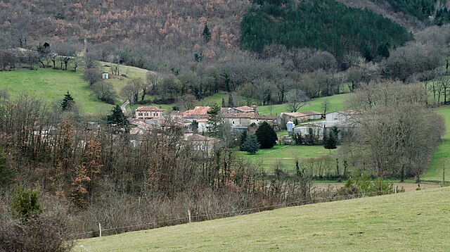
Ventenac (Ventenac)

- commune in Ariège, France
- Country:

- Postal Code: 09120
- Coordinates: 43° 0' 21" N, 1° 43' 50" E


- GPS tracks (wikiloc): [Link]
- Area: 19.62 sq km
- Population: 231
- Wikipedia en: wiki(en)
- Wikipedia: wiki(fr)
- Wikidata storage: Wikidata: Q286233
- Wikipedia Commons Category: [Link]
- Freebase ID: [/m/03m8pwf]
- GeoNames ID: Alt: [6426348]
- SIREN number: [210903274]
- INSEE municipality code: 09327
Shares border with regions:
Gudas
- commune in Ariège, France
- Country:
- Postal Code: 09120
- Coordinates: 43° 0' 32" N, 1° 40' 33" E
- GPS tracks (wikiloc): [Link]
- Area: 10.73 sq km
- Population: 178
Calzan
- commune in Ariège, France
- Country:
- Postal Code: 09120
- Coordinates: 43° 2' 18" N, 1° 44' 15" E
- GPS tracks (wikiloc): [Link]
- Area: 3.99 sq km
- Population: 31
Malléon
- commune in Ariège, France
- Country:
- Postal Code: 09120
- Coordinates: 43° 1' 55" N, 1° 42' 43" E
- GPS tracks (wikiloc): [Link]
- Area: 6.78 sq km
- Population: 64
- Web site: [Link]

L'Herm
- commune in Ariège, France
- Country:
- Postal Code: 09000
- Coordinates: 42° 58' 20" N, 1° 41' 10" E
- GPS tracks (wikiloc): [Link]
- Area: 14.67 sq km
- Population: 204

Dun
- commune in Ariège, France
- Country:
- Postal Code: 09600
- Coordinates: 43° 1' 38" N, 1° 47' 57" E
- GPS tracks (wikiloc): [Link]
- Area: 41.41 sq km
- Population: 536

Ségura
- commune in Ariège, France
- Country:
- Postal Code: 09120
- Coordinates: 43° 2' 12" N, 1° 41' 28" E
- GPS tracks (wikiloc): [Link]
- Area: 8.77 sq km
- Population: 183
Carla-de-Roquefort
- commune in Ariège, France
- Country:
- Postal Code: 09300
- Coordinates: 42° 58' 30" N, 1° 46' 5" E
- GPS tracks (wikiloc): [Link]
- Area: 9.34 sq km
- Population: 163

Roquefort-les-Cascades
- commune in Ariège, France
- Country:
- Postal Code: 09300
- Coordinates: 42° 57' 40" N, 1° 45' 23" E
- GPS tracks (wikiloc): [Link]
- Area: 7.08 sq km
- Population: 92