Vert-en-Drouais (Vert-en-Drouais)

- commune in Eure-et-Loir, France
- Country:

- Postal Code: 28500
- Coordinates: 48° 45' 38" N, 1° 17' 41" E


- GPS tracks (wikiloc): [Link]
- Area: 9.7 sq km
- Population: 1114
- Web site: http://web.lerelaisinternet.com/204608697/accueil.php
- Wikipedia en: wiki(en)
- Wikipedia: wiki(fr)
- Wikidata storage: Wikidata: Q1138957
- Wikipedia Commons Category: [Link]
- Freebase ID: [/m/03nrn67]
- GeoNames ID: Alt: [6430922]
- SIREN number: [212804058]
- BnF ID: [15254335p]
- INSEE municipality code: 28405
Shares border with regions:


Mesnil-sur-l'Estrée
- commune in Eure, France
- Country:
- Postal Code: 27650
- Coordinates: 48° 46' 19" N, 1° 18' 5" E
- GPS tracks (wikiloc): [Link]
- Area: 5.76 sq km
- Population: 934
- Web site: [Link]


Allainville
- commune in Eure-et-Loir, France
- Country:
- Postal Code: 28500
- Coordinates: 48° 43' 22" N, 1° 18' 3" E
- GPS tracks (wikiloc): [Link]
- Area: 5.28 sq km
- Population: 135


Muzy
- commune in Eure, France
- Country:
- Postal Code: 27650
- Coordinates: 48° 46' 38" N, 1° 19' 59" E
- GPS tracks (wikiloc): [Link]
- Area: 9.18 sq km
- Population: 830
- Web site: [Link]

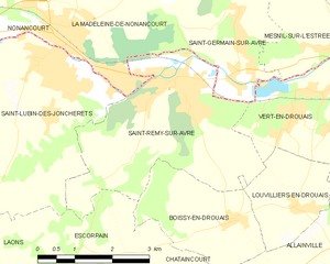
Saint-Rémy-sur-Avre
- commune in Eure-et-Loir, France
- Country:
- Postal Code: 28380
- Coordinates: 48° 45' 41" N, 1° 14' 32" E
- GPS tracks (wikiloc): [Link]
- Area: 13.05 sq km
- Population: 3958
- Web site: [Link]


Louvilliers-en-Drouais
- commune in Eure-et-Loir, France
- Country:
- Postal Code: 28500
- Coordinates: 48° 43' 54" N, 1° 17' 17" E
- GPS tracks (wikiloc): [Link]
- Area: 4.14 sq km
- Population: 202
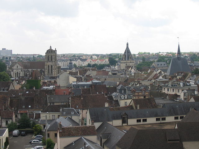

Dreux
- commune in Eure-et-Loir, France
- Country:
- Postal Code: 28100
- Coordinates: 48° 44' 11" N, 1° 21' 56" E
- GPS tracks (wikiloc): [Link]
- Area: 24.27 sq km
- Population: 30836
- Web site: [Link]

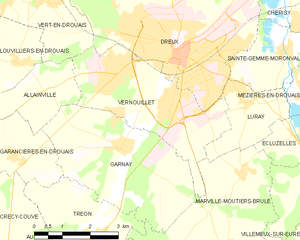
Vernouillet
- commune in Eure-et-Loir, France
- Country:
- Postal Code: 28500
- Coordinates: 48° 43' 15" N, 1° 21' 38" E
- GPS tracks (wikiloc): [Link]
- Area: 12.11 sq km
- Population: 12572
- Web site: [Link]


Saint-Germain-sur-Avre
- commune in Eure, France
- Country:
- Postal Code: 27320
- Coordinates: 48° 45' 54" N, 1° 15' 43" E
- GPS tracks (wikiloc): [Link]
- Area: 5.39 sq km
- Population: 1195
- Web site: [Link]