Villecelin (Villecelin)

- commune in Cher, France
- Country:

- Postal Code: 18160
- Coordinates: 46° 49' 34" N, 2° 10' 54" E


- GPS tracks (wikiloc): [Link]
- Area: 9.39 sq km
- Population: 99
- Wikipedia en: wiki(en)
- Wikipedia: wiki(fr)
- Wikidata storage: Wikidata: Q425808
- Wikipedia Commons Category: [Link]
- Freebase ID: [/m/03mffln]
- GeoNames ID: Alt: [6428333]
- SIREN number: [211802830]
- BnF ID: [15249629k]
- INSEE municipality code: 18283
Shares border with regions:


Chezal-Benoît
- commune in Cher, France
- Country:
- Postal Code: 18160
- Coordinates: 46° 49' 37" N, 2° 6' 51" E
- GPS tracks (wikiloc): [Link]
- Area: 46.46 sq km
- Population: 867
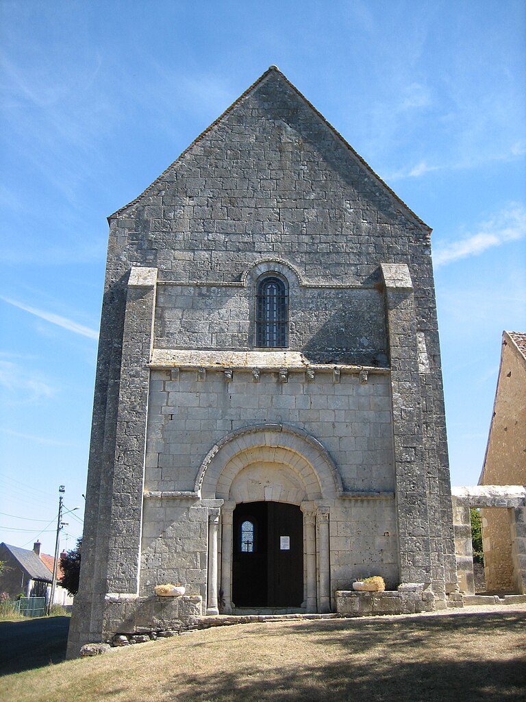
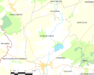
La Celle-Condé
- commune in Cher, France
- Country:
- Postal Code: 18160
- Coordinates: 46° 47' 38" N, 2° 11' 4" E
- GPS tracks (wikiloc): [Link]
- Area: 30.94 sq km
- Population: 209


Montlouis
- commune in Cher, France
- Country:
- Postal Code: 18160
- Coordinates: 46° 48' 51" N, 2° 14' 25" E
- GPS tracks (wikiloc): [Link]
- Area: 18.98 sq km
- Population: 110


Saint-Baudel
- commune in Cher, France
- Country:
- Postal Code: 18160
- Coordinates: 46° 50' 18" N, 2° 12' 25" E
- GPS tracks (wikiloc): [Link]
- Area: 30.09 sq km
- Population: 248


Venesmes
- commune in Cher, France
- Country:
- Postal Code: 18190
- Coordinates: 46° 50' 21" N, 2° 18' 48" E
- GPS tracks (wikiloc): [Link]
- Area: 31.76 sq km
- Population: 847