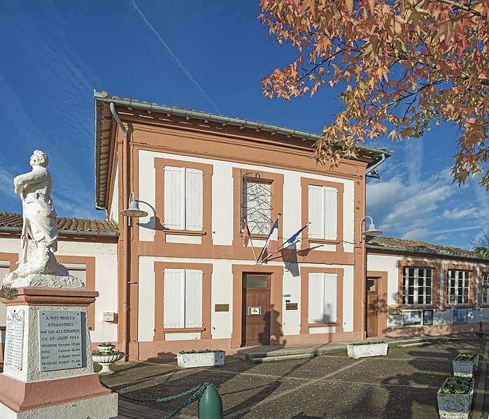
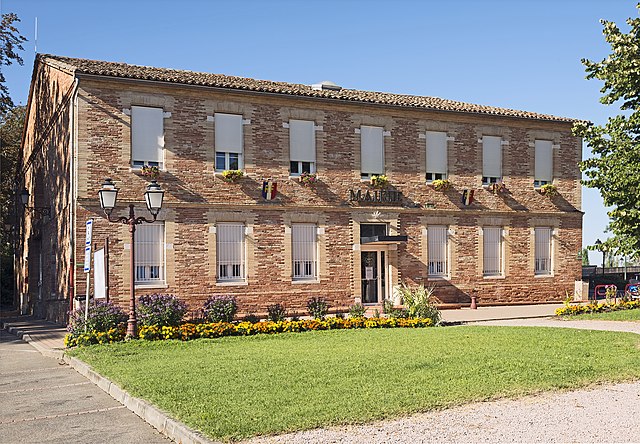
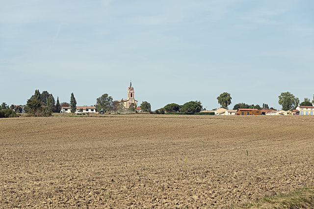
Villemur-sur-Tarn (Villemur-sur-Tarn)

- commune in Haute-Garonne, France
- Country:

- Postal Code: 31340
- Coordinates: 43° 51' 56" N, 1° 30' 18" E


- GPS tracks (wikiloc): [Link]
- Area: 46.57 sq km
- Population: 5873
- Web site: http://www.mairie-villemur-sur-tarn.fr
- Wikipedia en: wiki(en)
- Wikipedia: wiki(fr)
- Wikidata storage: Wikidata: Q1371216
- Wikipedia Commons Category: [Link]
- Freebase ID: [/m/03nq2r1]
- GeoNames ID: Alt: [2968626]
- SIREN number: [213105844]
- BnF ID: [152555793]
- Library of Congress authority ID: Alt: [n96043937]
- data.gouv.fr org ID: [mairie-de-villemur-sur-tarn]
- INSEE municipality code: 31584
Shares border with regions:


Villematier
- commune in Haute-Garonne, France
- Country:
- Postal Code: 31340
- Coordinates: 43° 49' 44" N, 1° 30' 31" E
- GPS tracks (wikiloc): [Link]
- Area: 14.96 sq km
- Population: 1019
- Web site: [Link]
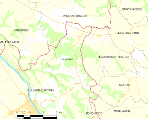
Le Born
- commune in Haute-Garonne, France
- Country:
- Postal Code: 31340
- Coordinates: 43° 53' 5" N, 1° 32' 40" E
- GPS tracks (wikiloc): [Link]
- Area: 10.85 sq km
- Population: 513
Montvalen
- commune in Tarn, France
- Country:
- Postal Code: 81630
- Coordinates: 43° 51' 52" N, 1° 35' 24" E
- GPS tracks (wikiloc): [Link]
- Area: 11.73 sq km
- Population: 226

Bouloc
- commune in Haute-Garonne, France
- Country:
- Postal Code: 31620
- Coordinates: 43° 46' 49" N, 1° 24' 18" E
- GPS tracks (wikiloc): [Link]
- Area: 18.55 sq km
- Population: 4496
- Web site: [Link]


Nohic
- commune in Tarn-et-Garonne, France
- Country:
- Postal Code: 82370
- Coordinates: 43° 53' 25" N, 1° 26' 17" E
- GPS tracks (wikiloc): [Link]
- Area: 12.61 sq km
- Population: 1338


Villebrumier
- commune in Tarn-et-Garonne, France
- Country:
- Postal Code: 82370
- Coordinates: 43° 54' 24" N, 1° 27' 11" E
- GPS tracks (wikiloc): [Link]
- Area: 11.38 sq km
- Population: 1365
- Web site: [Link]

Villeneuve-lès-Bouloc
- commune in Haute-Garonne, France
- Country:
- Postal Code: 31620
- Coordinates: 43° 46' 9" N, 1° 25' 36" E
- GPS tracks (wikiloc): [Link]
- Area: 12.66 sq km
- Population: 1520
- Web site: [Link]


Varennes
- commune in Tarn-et-Garonne, France
- Country:
- Postal Code: 82370
- Coordinates: 43° 54' 5" N, 1° 29' 52" E
- GPS tracks (wikiloc): [Link]
- AboveSeaLevel: 206 м m
- Area: 14.76 sq km
- Population: 567
- Web site: [Link]

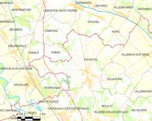
Fronton
- commune in Haute-Garonne, France
- Country:
- Postal Code: 31620
- Coordinates: 43° 50' 25" N, 1° 23' 22" E
- GPS tracks (wikiloc): [Link]
- Area: 45.79 sq km
- Population: 5917
- Web site: [Link]
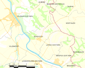
Bondigoux
- commune in Haute-Garonne, France
- Country:
- Postal Code: 31340
- Coordinates: 43° 50' 24" N, 1° 32' 25" E
- GPS tracks (wikiloc): [Link]
- Area: 7.46 sq km
- Population: 530


Villaudric
- commune in Haute-Garonne, France
- Country:
- Postal Code: 31620
- Coordinates: 43° 49' 46" N, 1° 25' 54" E
- GPS tracks (wikiloc): [Link]
- Area: 12.16 sq km
- Population: 1530
- Web site: [Link]
Verlhac-Tescou
- commune in Tarn-et-Garonne, France
- Country:
- Postal Code: 82230
- Coordinates: 43° 55' 45" N, 1° 32' 17" E
- GPS tracks (wikiloc): [Link]
- Area: 22.69 sq km
- Population: 517