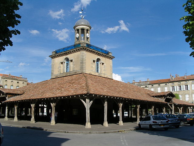
arrondissement of Toulouse (arrondissement de Toulouse)
- arrondissement of France
- Country:

- Capital: Toulouse
- Coordinates: 43° 35' 0" N, 1° 30' 0" E


- GPS tracks (wikiloc): [Link]
- Area: 2531 sq km
- Population: 1038764
- Wikipedia en: wiki(en)
- Wikipedia: wiki(fr)
- Wikidata storage: Wikidata: Q702642
- Freebase ID: [/m/095gvv]
- GeoNames ID: Alt: [2972314]
- Library of Congress authority ID: Alt: [no2008164349]
- INSEE arrondissement code: [313]
Includes regions:


canton of Castanet-Tolosan
- canton of France
- Country:

- Capital: Castanet-Tolosan
- Coordinates: 43° 30' 54" N, 1° 29' 43" E


- GPS tracks (wikiloc): [Link]
- Population: 44340


canton of Revel
- canton of France
- Country:

- Capital: Revel
- Coordinates: 43° 27' 24" N, 2° 0' 14" E


- GPS tracks (wikiloc): [Link]
- Population: 40084


canton of Toulouse-7
- canton of France
- Country:

- Capital: Toulouse
- Coordinates: 43° 36' 20" N, 1° 26' 42" E


- GPS tracks (wikiloc): [Link]
- Population: 58610


canton of Léguevin
- canton of France
- Country:

- Capital: Léguevin
- Coordinates: 43° 35' 49" N, 1° 14' 7" E


- GPS tracks (wikiloc): [Link]
- Population: 53807


canton of Toulouse-8
- canton of France
- Country:

- Capital: Toulouse
- Coordinates: 43° 36' 58" N, 1° 32' 18" E


- GPS tracks (wikiloc): [Link]
- Population: 63592


canton of Toulouse-3
- canton of France
- Country:

- Capital: Toulouse
- Coordinates: 43° 36' 20" N, 1° 26' 42" E


- GPS tracks (wikiloc): [Link]
- Population: 52281

canton of Villefranche-de-Lauragais
- canton of France
- Country:

- Capital: Villefranche-de-Lauragais
- Coordinates: 43° 23' 53" N, 1° 42' 59" E


- GPS tracks (wikiloc): [Link]


canton of Toulouse-11
- canton of France
- Country:

- Capital: Toulouse
- Coordinates: 43° 36' 20" N, 1° 26' 42" E


- GPS tracks (wikiloc): [Link]
- Population: 47726


canton of Blagnac
- canton of France
- Country:

- Capital: Blagnac
- Coordinates: 43° 38' 13" N, 1° 23' 22" E


- GPS tracks (wikiloc): [Link]
- Population: 51104

canton of Montastruc-la-Conseillère
- canton of France
- Country:

- Capital: Montastruc-la-Conseillère
- Coordinates: 43° 43' 1" N, 1° 35' 13" E


- GPS tracks (wikiloc): [Link]


canton of Toulouse-1
- canton of France
- Country:

- Capital: Toulouse
- Coordinates: 43° 36' 20" N, 1° 26' 42" E


- GPS tracks (wikiloc): [Link]
- Population: 54742


canton of Toulouse-2
- canton of France
- Country:

- Capital: Toulouse
- Coordinates: 43° 36' 20" N, 1° 26' 42" E


- GPS tracks (wikiloc): [Link]
- Population: 55617


canton of Toulouse-4
- canton of France
- Country:

- Capital: Toulouse
- Coordinates: 43° 36' 20" N, 1° 26' 42" E


- GPS tracks (wikiloc): [Link]
- Population: 53354


canton of Toulouse-5
- canton of France
- Country:

- Capital: Toulouse
- Coordinates: 43° 36' 20" N, 1° 26' 42" E


- GPS tracks (wikiloc): [Link]
- Population: 46203


canton of Toulouse-6
- canton of France
- Country:

- Capital: Toulouse
- Coordinates: 43° 36' 20" N, 1° 26' 42" E


- GPS tracks (wikiloc): [Link]
- Population: 55704


canton of Toulouse-9
- canton of France
- Country:

- Capital: Toulouse
- Coordinates: 43° 27' 53" N, 1° 21' 50" E


- GPS tracks (wikiloc): [Link]
- Population: 54706


canton of Villemur-sur-Tarn
- canton of France
- Country:

- Capital: Villemur-sur-Tarn
- Coordinates: 43° 51' 46" N, 1° 30' 8" E


- GPS tracks (wikiloc): [Link]
- Population: 42510


canton of Toulouse-10
- canton of France
- Country:

- Capital: Toulouse
- Coordinates: 43° 36' 20" N, 1° 26' 42" E


- GPS tracks (wikiloc): [Link]
- Population: 57514


canton of Tournefeuille
- canton of France
- Country:

- Capital: Tournefeuille
- Coordinates: 43° 35' 7" N, 1° 20' 39" E


- GPS tracks (wikiloc): [Link]
- Population: 53261

canton of Montgiscard
- canton of France (until March 2015)
- Country:

- Capital: Montgiscard
- Coordinates: 43° 27' 24" N, 1° 34' 26" E


- GPS tracks (wikiloc): [Link]


