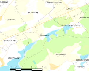
Zommange (Zommange)
- commune in Moselle, France
- Country:

- Postal Code: 57260
- Coordinates: 48° 49' 27" N, 6° 48' 17" E


- GPS tracks (wikiloc): [Link]
- Area: 6.34 sq km
- Population: 39
- Wikipedia en: wiki(en)
- Wikipedia: wiki(fr)
- Wikidata storage: Wikidata: Q21825
- Wikipedia Commons Category: [Link]
- Freebase ID: [/m/03nq5h2]
- Freebase ID: [/m/03nq5h2]
- GeoNames ID: Alt: [6437963]
- GeoNames ID: Alt: [6437963]
- SIREN number: [215707639]
- SIREN number: [215707639]
- BnF ID: [152662620]
- BnF ID: [152662620]
- INSEE municipality code: 57763
- INSEE municipality code: 57763
Shares border with regions:


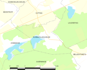
Rorbach-lès-Dieuze
- commune in Moselle, France
- Country:

- Postal Code: 57260
- Coordinates: 48° 49' 48" N, 6° 50' 34" E


- GPS tracks (wikiloc): [Link]
- Area: 4.21 sq km
- Population: 56


Cutting
- commune in Moselle, France
- Country:

- Postal Code: 57260
- Coordinates: 48° 50' 56" N, 6° 50' 4" E


- GPS tracks (wikiloc): [Link]
- Area: 5.62 sq km
- Population: 135


Bidestroff
- commune in Moselle, France
- Country:

- Postal Code: 57260
- Coordinates: 48° 50' 56" N, 6° 47' 13" E


- GPS tracks (wikiloc): [Link]
- Area: 7.95 sq km
- Population: 124


Lindre-Haute
- commune in Moselle, France
- Country:

- Postal Code: 57260
- Coordinates: 48° 48' 49" N, 6° 45' 2" E


- GPS tracks (wikiloc): [Link]
- Area: 2.46 sq km
- Population: 44


Lindre-Basse
- commune in Moselle, France
- Country:

- Postal Code: 57260
- Coordinates: 48° 48' 8" N, 6° 44' 51" E


- GPS tracks (wikiloc): [Link]
- Area: 8.28 sq km
- Population: 229


Vergaville
- commune in Moselle, France
- Country:

- Postal Code: 57260
- Coordinates: 48° 50' 14" N, 6° 44' 38" E


- GPS tracks (wikiloc): [Link]
- Area: 13.17 sq km
- Population: 593


Guermange
- commune in Moselle, France
- Country:

- Postal Code: 57260
- Coordinates: 48° 47' 40" N, 6° 48' 41" E


- GPS tracks (wikiloc): [Link]
- Area: 17.64 sq km
- Population: 93
