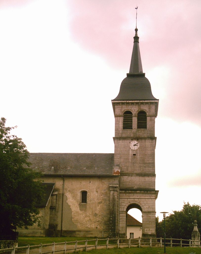
Aranc (Aranc)

- commune in Ain, France
 Hiking in Aranc
Aranc is a captivating destination for those who love the great outdoors, particularly hiking. Nestled in the stunning Jura Mountains in France, it offers a variety of trails that cater to different skill levels, from easy walks suitable for families to more challenging hikes for seasoned adventurers.
Highlights of Hiking in Aranc:
-
Scenic Trails: The region is known for its lush forests, rolling hills, and breathtaking landscapes. Trails often include picturesque views, wildlife sightings, and opportunities to experience the local flora.
-
Well-Marked Paths: Most hiking routes in and around Aranc are well-marked, making it easier for hikers to navigate. Look for yellow and red trail markers, which indicate different paths.
-
Accessibility: Many trails are accessible from the village center, allowing hikers to quickly reach the natural beauty surrounding Aranc without the need for a long drive.
-
Cultural Sites: While hiking, you may also encounter historical sites or charming villages that provide a glimpse into the local culture and traditions.
-
Seasonal Hiking: Depending on the season, trails can showcase different aspects of the region. Spring and summer bring vibrant wildflowers, while autumn offers stunning foliage. Winter hiking can be done in some areas, but be prepared for snow and colder conditions.
-
Safety and Preparation: As always, it’s important to inform someone of your hiking plans, check the weather conditions, and carry essentials like water, snacks, a first aid kit, and a map or GPS device.
-
Local Guides: For those unfamiliar with the area or looking for a more in-depth experience, consider hiring a local guide. They can provide valuable insights about the landscape, flora, and fauna.
Whether you’re looking for a serene stroll or a more vigorous trek, Aranc promises a rewarding hiking experience filled with natural beauty and exploration.
- Country:

- Postal Code: 01110
- Coordinates: 46° 0' 16" N, 5° 30' 33" E


- GPS tracks (wikiloc): [Link]
- Area: 21.65 sq km
- Population: 327
- Web site: http://www.aranc.info
- Wikipedia en: wiki(en)
- Wikipedia: wiki(fr)
- Wikidata storage: Wikidata: Q194006
- Wikipedia Commons Category: [Link]
- Wikipedia Commons Maps Category: [Link]
- Freebase ID: [/m/07tnt0]
- Freebase ID: [/m/07tnt0]
- GeoNames ID: Alt: [3037330]
- GeoNames ID: Alt: [3037330]
- SIREN number: [210100129]
- SIREN number: [210100129]
- INSEE municipality code: 01012
- INSEE municipality code: 01012
Shares border with regions:
Champdor
- former commune in Ain, France
Hiking in Champdor
Champdor, located in the Auvergne-Rhône-Alpes region of France, is a picturesque destination for hikers, offering a range of trails that showcase the natural beauty of the area. Surrounded by mountains, forests, and rivers, the scenery is both diverse and breathtaking, making it an excellent spot for outdoor enthusiasts....
- Country:
- Postal Code: 01110
- Coordinates: 46° 1' 2" N, 5° 35' 50" E
- GPS tracks (wikiloc): [Link]
- Area: 17.37 sq km
- Population: 455
Champdor-Corcelles
- commune in Ain, France
Hiking in Champdor-Corcelles
Champdor-Corcelles is a small village located in the Ain department in the Auvergne-Rhône-Alpes region of France. It offers beautiful landscapes, making it an excellent destination for hiking enthusiasts. Here are some key points to consider when hiking in this area:...
- Country:
- Postal Code: 01080
- Coordinates: 46° 1' 5" N, 5° 35' 52" E
- GPS tracks (wikiloc): [Link]
- Area: 31.53 sq km
- Web site: [Link]

Corlier
- commune in Ain, France
Hiking in Corlier
Corlier is a charming village located in the French Alps, known for its stunning natural landscapes and hiking opportunities. The surrounding area offers various trails suitable for different skill levels, making it an excellent destination for both novice and experienced hikers....
- Country:
- Postal Code: 01110
- Coordinates: 46° 1' 49" N, 5° 29' 57" E
- GPS tracks (wikiloc): [Link]
- Area: 5.45 sq km
- Population: 111

Évosges
- commune in Ain, France
Hiking in Évosges
The Vosges Mountains, located in northeastern France, offer a diverse array of hiking opportunities for outdoor enthusiasts. Here are some key points to consider when hiking in the Vosges:...
- Country:
- Postal Code: 01230
- Coordinates: 45° 57' 39" N, 5° 29' 53" E
- GPS tracks (wikiloc): [Link]
- Area: 12.08 sq km
- Population: 144

Hauteville-Lompnes
- commune in Ain, France
Hiking in Hauteville-Lompnes
Hauteville-Lompnes, located in the Ain department of the Auvergne-Rhône-Alpes region in France, is a stunning destination for hiking enthusiasts. Nestled in the foothills of the Alps, it offers a variety of trails ranging from easy walks to more challenging hikes, making it suitable for hikers of all experience levels....
- Country:
- Postal Code: 01110
- Coordinates: 45° 58' 44" N, 5° 35' 58" E
- GPS tracks (wikiloc): [Link]
- Area: 50.34 sq km
- Population: 3739
- Web site: [Link]

Corcelles
- former commune in Ain, France
Hiking in Corcelles
Corcelles, located in the Ain department of France, offers beautiful landscapes and various hiking opportunities. The region is characterized by rolling hills, woodlands, vineyards, and picturesque countryside that is typical of the Auvergne-Rhône-Alpes region....
- Country:
- Postal Code: 01110
- Coordinates: 46° 2' 8" N, 5° 34' 28" E
- GPS tracks (wikiloc): [Link]
- Area: 14.16 sq km
- Population: 208
- Web site: [Link]

Izenave
- commune in Ain, France
Hiking in Izenave
Izenave is a charming commune located in the Ain department in the Auvergne-Rhône-Alpes region of southeastern France. It’s nestled in the natural beauty of the Jura Mountains, making it an excellent destination for hiking enthusiasts....
- Country:
- Postal Code: 01430
- Coordinates: 46° 2' 17" N, 5° 31' 30" E
- GPS tracks (wikiloc): [Link]
- Area: 13.04 sq km
- Population: 168

Oncieu
- commune in Ain, France
Hiking in Oncieu
Oncieu is a picturesque commune located in the Auvergne-Rhône-Alpes region of France, surrounded by stunning natural landscapes. Hiking in this area can be an amazing experience due to its beautiful settings, including rolling hills, forests, and views of the Rhône valley....
- Country:
- Postal Code: 01230
- Coordinates: 45° 57' 33" N, 5° 28' 24" E
- GPS tracks (wikiloc): [Link]
- Area: 7.76 sq km
- Population: 99

Nivollet-Montgriffon
- commune in Ain, France
Hiking in Nivollet-Montgriffon
Nivollet-Montgriffon is a lesser-known hiking destination located in the Auvergne-Rhône-Alpes region of France. Nestled within the natural beauty of the French Alps, this area offers a charming blend of scenic landscapes, diverse flora and fauna, and opportunities for both leisurely walks and more challenging hikes. Here are some key points to consider when hiking in this region:...
- Country:
- Postal Code: 01230
- Coordinates: 45° 59' 35" N, 5° 26' 47" E
- GPS tracks (wikiloc): [Link]
- Area: 8.24 sq km
- Population: 118