%20-%20Vue%20panoramique.jpg)
Argenton-sur-Creuse (Argenton-sur-Creuse)

- commune in Indre, France
- Country:

- Postal Code: 36200
- Coordinates: 46° 35' 20" N, 1° 31' 9" E


- GPS tracks (wikiloc): [Link]
- Area: 29.34 sq km
- Population: 4954
- Web site: http://www.mairieargentonsurcreuse.com
- Wikipedia en: wiki(en)
- Wikipedia: wiki(fr)
- Wikidata storage: Wikidata: Q275438
- Wikipedia Commons Category: [Link]
- Freebase ID: [/m/089hp0]
- GeoNames ID: Alt: [3037018]
- SIREN number: [213600067]
- BnF ID: [152573102]
- VIAF ID: Alt: [133336620]
- GND ID: Alt: [4216990-2]
- archINFORM location ID: [6830]
- Library of Congress authority ID: Alt: [n2002013488]
- PACTOLS thesaurus ID: [pcrtKhgN76hj7u]
- INSEE municipality code: 36006
Shares border with regions:
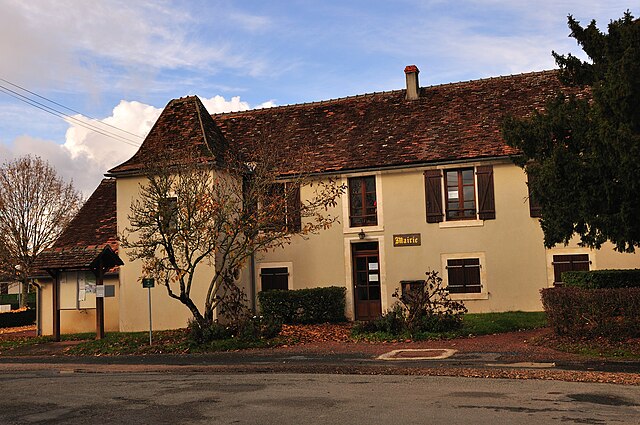

Celon
- commune in Indre, France
- Country:
- Postal Code: 36200
- Coordinates: 46° 31' 7" N, 1° 29' 59" E
- GPS tracks (wikiloc): [Link]
- Area: 17.04 sq km
- Population: 408

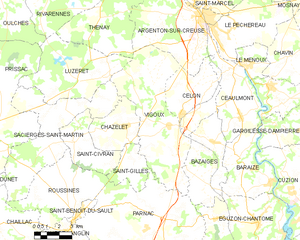
Vigoux
- commune in Indre, France
- Country:
- Postal Code: 36170
- Coordinates: 46° 30' 37" N, 1° 29' 15" E
- GPS tracks (wikiloc): [Link]
- Area: 37.51 sq km
- Population: 461
- Web site: [Link]
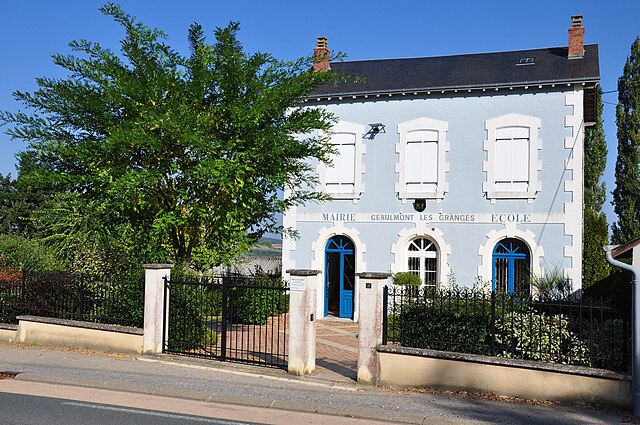

Ceaulmont
- commune in Indre, France
- Country:
- Postal Code: 36200
- Coordinates: 46° 31' 53" N, 1° 33' 9" E
- GPS tracks (wikiloc): [Link]
- Area: 17.38 sq km
- Population: 734
- Web site: [Link]


Thenay
- commune in Indre, France
- Country:
- Postal Code: 36800
- Coordinates: 46° 37' 48" N, 1° 25' 44" E
- GPS tracks (wikiloc): [Link]
- Area: 34.21 sq km
- Population: 874


Le Pêchereau
- commune in Indre, France
- Country:
- Postal Code: 36200
- Coordinates: 46° 34' 41" N, 1° 32' 51" E
- GPS tracks (wikiloc): [Link]
- Area: 20.94 sq km
- Population: 1855
- Web site: [Link]


Saint-Marcel
- commune in Indre, France
- Country:
- Postal Code: 36200
- Coordinates: 46° 36' 7" N, 1° 30' 50" E
- GPS tracks (wikiloc): [Link]
- Area: 17.84 sq km
- Population: 1583
- Web site: [Link]