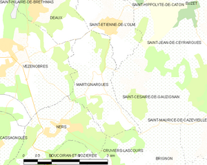
Vézénobres (Vézénobres)

- commune in Gard, France
- Country:

- Postal Code: 30360
- Coordinates: 44° 3' 11" N, 4° 8' 11" E


- GPS tracks (wikiloc): [Link]
- Area: 17.07 sq km
- Population: 1761
- Web site: http://www.vezenobres.fr
- Wikipedia en: wiki(en)
- Wikipedia: wiki(fr)
- Wikidata storage: Wikidata: Q261590
- Wikipedia Commons Gallery: [Link]
- Wikipedia Commons Category: [Link]
- Freebase ID: [/m/02w9mz7]
- GeoNames ID: Alt: [6431481]
- SIREN number: [213003486]
- BnF ID: [15254988x]
- VIAF ID: Alt: [242648650]
- INSEE municipality code: 30348
Shares border with regions:
Cassagnoles
- commune in Gard, France
- Country:
- Postal Code: 30350
- Coordinates: 44° 1' 21" N, 4° 7' 50" E
- GPS tracks (wikiloc): [Link]
- AboveSeaLevel: 139 м m
- Area: 5.19 sq km
- Population: 411

Martignargues
- commune in Gard, France
- Country:
- Postal Code: 30360
- Coordinates: 44° 2' 41" N, 4° 10' 41" E
- GPS tracks (wikiloc): [Link]
- Area: 4.93 sq km
- Population: 419
Ribaute-les-Tavernes
- commune in Gard, France
- Country:
- Postal Code: 30720
- Coordinates: 44° 2' 16" N, 4° 4' 51" E
- GPS tracks (wikiloc): [Link]
- Area: 14.27 sq km
- Population: 2098


Ners
- commune in Gard, France
- Country:
- Postal Code: 30360
- Coordinates: 44° 1' 34" N, 4° 9' 32" E
- GPS tracks (wikiloc): [Link]
- Area: 4.96 sq km
- Population: 727
- Web site: [Link]


Deaux
- commune in Gard, France
- Country:
- Postal Code: 30360
- Coordinates: 44° 4' 4" N, 4° 9' 1" E
- GPS tracks (wikiloc): [Link]
- Area: 5.95 sq km
- Population: 667
- Web site: [Link]


Saint-Christol-lès-Alès
- commune in Gard, France
- Country:
- Postal Code: 30380
- Coordinates: 44° 5' 4" N, 4° 4' 37" E
- GPS tracks (wikiloc): [Link]
- AboveSeaLevel: 134 м m
- Area: 20.25 sq km
- Population: 6978
- Web site: [Link]


Saint-Hilaire-de-Brethmas
- commune in Gard, France
- Country:
- Postal Code: 30560
- Coordinates: 44° 4' 51" N, 4° 7' 31" E
- GPS tracks (wikiloc): [Link]
- Area: 13.91 sq km
- Population: 4174
- Web site: [Link]